STS047-77-43
| NASA Photo ID | STS047-77-43 |
| Focal Length | 100mm |
| Date taken | 1992.09.14 |
| Time taken | 02:54:00 GMT |
Cloud masks available for this image:
Spacecraft nadir point: 56.6° N, 142.2° E
Photo center point: 53.0° N, 141.5° E
Photo center point by machine learning:
Photo center point: 53.0° N, 141.5° E
Photo center point by machine learning:
Nadir to Photo Center: South
Spacecraft Altitude: 171 nautical miles (317km)
Country or Geographic Name: | RUSSIAN FEDERATION |
Features: | AMURSKIY EST., SUNGLINT |
| Features Found Using Machine Learning: | |
Cloud Cover Percentage: | 50 (26-50)% |
Sun Elevation Angle: | 38° |
Sun Azimuth: | 188° |
Camera: | Hasselblad |
Focal Length: | 100mm |
Camera Tilt: | 52 degrees |
Format: | VELVI: Fuji, natural color positive, Velvia 50, CS 135-36, ASA 32, standard base |
Film Exposure: | Normal |
| Additional Information | |
| Width | Height | Annotated | Cropped | Purpose | Links |
|---|---|---|---|---|---|
| 5700 pixels | 6000 pixels | No | No | Download Image | |
| 500 pixels | 526 pixels | No | No | Download Image | |
| 640 pixels | 480 pixels | No | No | Download Image |
Download Packaged File
Download a Google Earth KML for this Image
View photo footprint information
Download a GeoTIFF for this photo
Image Caption:
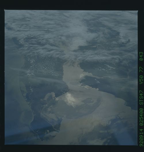
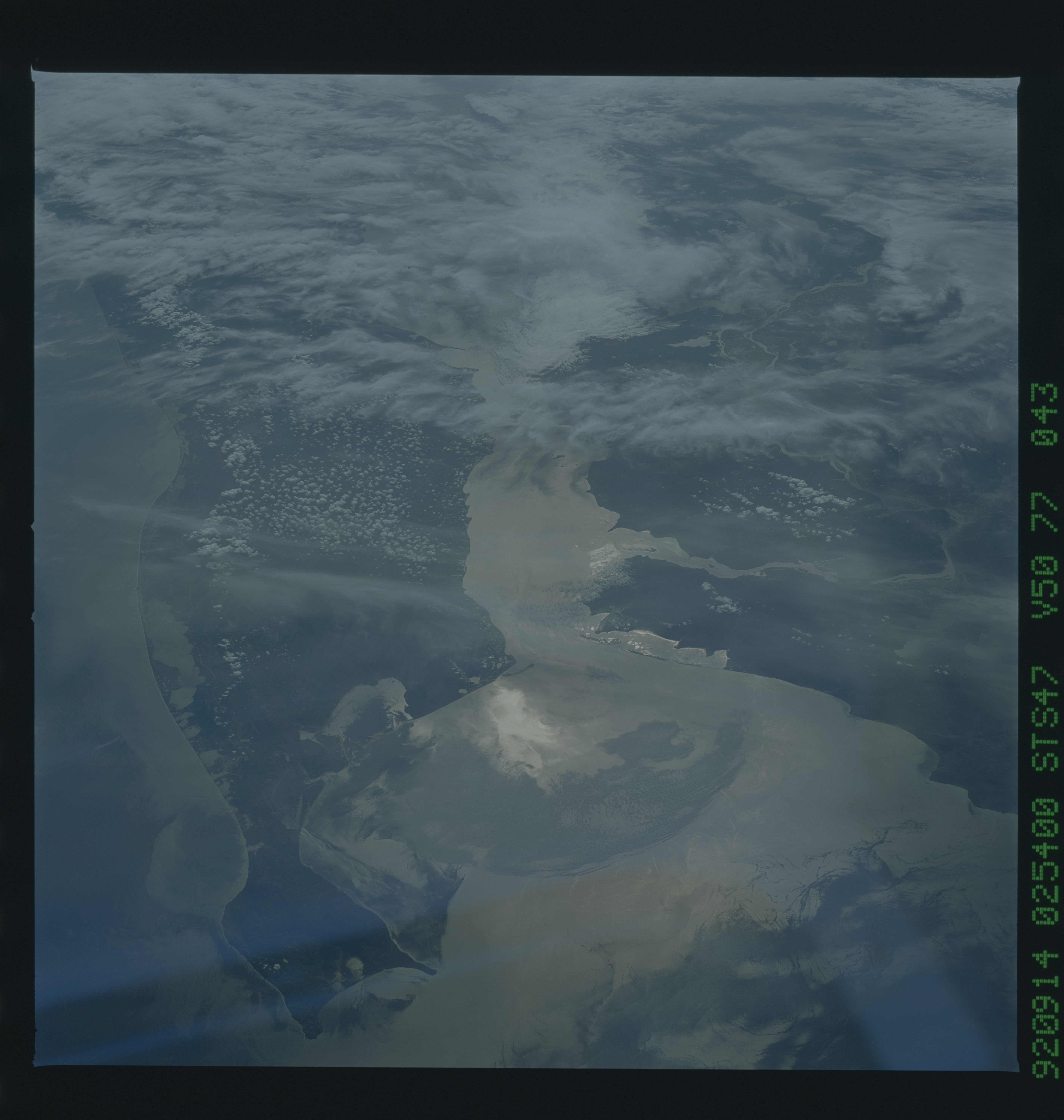
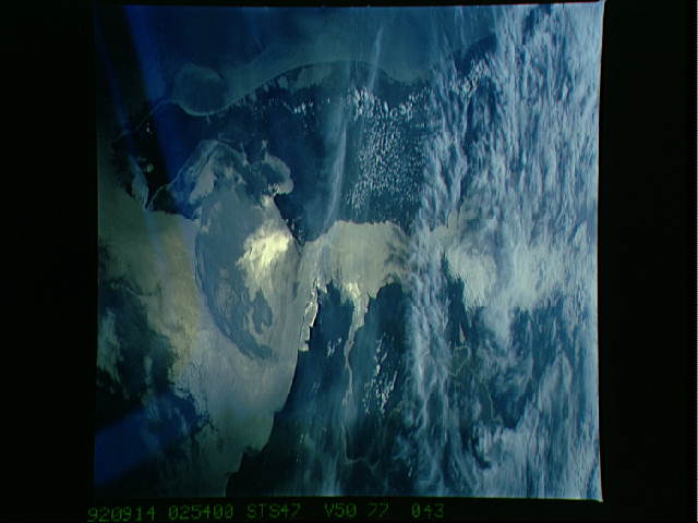
Arc Clouds Caused by Island Channeling STS047-79-
058 STS047-77-
043 9/15/92
03:06:45GMT 9/14/92
02:54:00GMT
Kamchatka Sahkalin
Is. These photos depict the "hammer-head" of an arc cloud formed
where cool dense air is channeled between islands.
Arc Clouds Caused by Island Channeling STS047-79-
058 STS047-77-
043 9/15/92
03:06:45GMT 9/14/92
02:54:00GMT
Kamchatka Sahkalin
Is. These photos depict the "hammer-head" of an arc cloud formed
where cool dense air is channeled between islands.
