STS047-75-1
| NASA Photo ID | STS047-75-1 |
| Focal Length | 250mm |
| Date taken | 1992.09.15 |
| Time taken | 00:04:26 GMT |
Cloud masks available for this image:
Spacecraft nadir point: 56.9° N, 162.5° W
Photo center point: 55.0° N, 164.0° W
Photo center point by machine learning:
Photo center point: 55.0° N, 164.0° W
Photo center point by machine learning:
Nadir to Photo Center: Southwest
Spacecraft Altitude: 171 nautical miles (317km)
Country or Geographic Name: | USA-ALASKA |
Features: | AK PEN., SHISHALDIN VOL. |
| Features Found Using Machine Learning: | |
Cloud Cover Percentage: | 40 (26-50)% |
Sun Elevation Angle: | 35° |
Sun Azimuth: | 204° |
Camera: | Hasselblad |
Focal Length: | 250mm |
Camera Tilt: | 40 degrees |
Format: | VELVI: Fuji, natural color positive, Velvia 50, CS 135-36, ASA 32, standard base |
Film Exposure: | Under Exposed |
| Additional Information | |
| Width | Height | Annotated | Cropped | Purpose | Links |
|---|---|---|---|---|---|
| 5700 pixels | 6000 pixels | No | No | Download Image | |
| 500 pixels | 526 pixels | No | No | Download Image | |
| 640 pixels | 480 pixels | No | No | Download Image |
Download Packaged File
Download a Google Earth KML for this Image
View photo footprint information
Download a GeoTIFF for this photo
Image Caption:
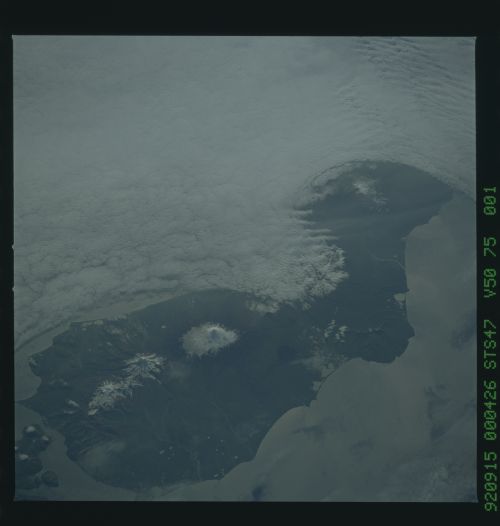
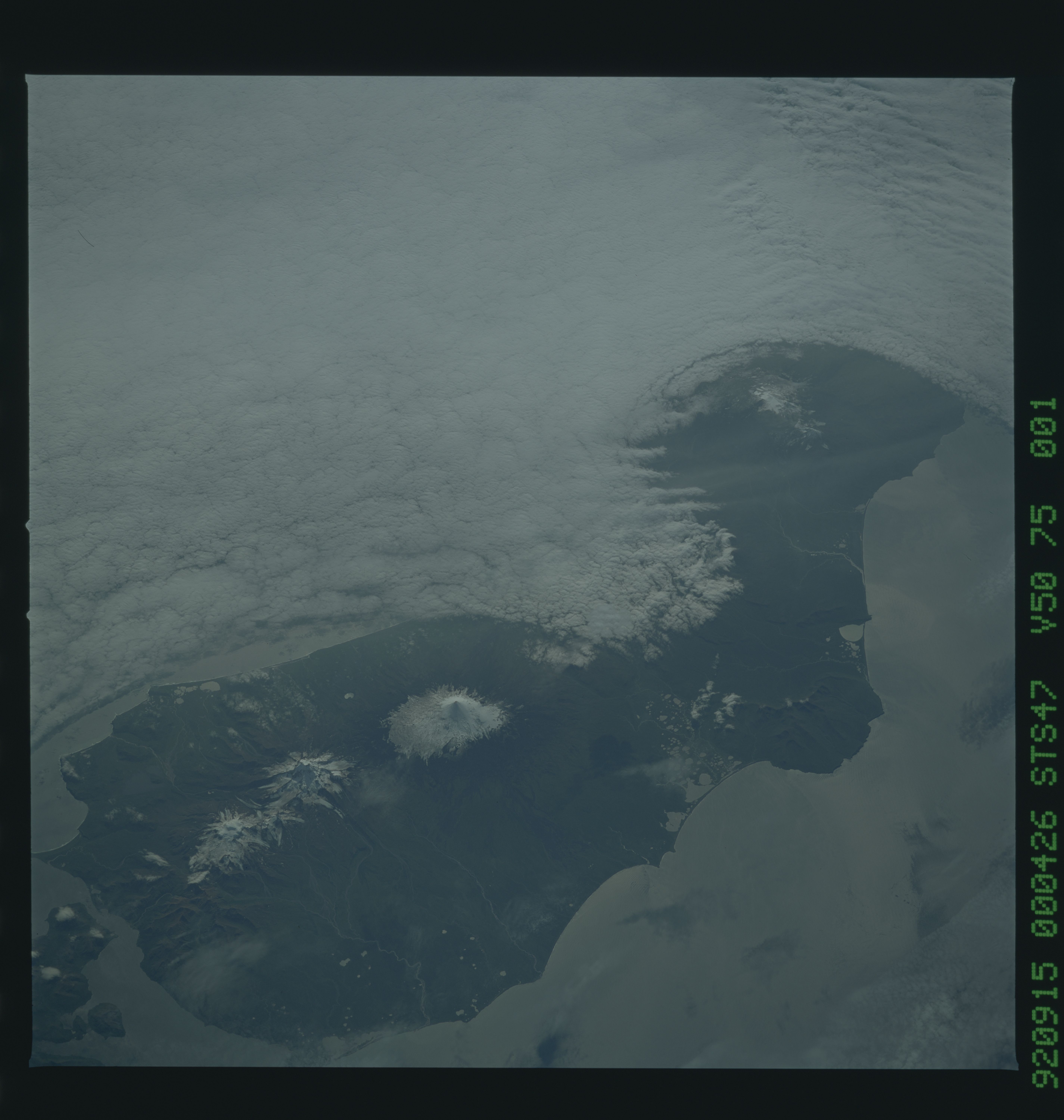
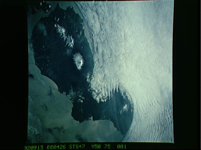
STS047-75-001 Unimak Island. This oblique view from the
northeast of Unimak shows the large cones making up the spine of
the island: Isanotski (east), Shishaldin (central cone) and the
Pogromni and Westdahl complex (west) The central caldera east of
Westdahl is cloud covered. However, the area affected by
Westdahl's 1991 eruptions can be seen.
