STS047-73-39
| NASA Photo ID | STS047-73-39 |
| Focal Length | 250mm |
| Date taken | 1992.09.17 |
| Time taken | 22:50:42 GMT |
Cloud masks available for this image:
Spacecraft nadir point: 42.7° N, 139.7° E
Photo center point: 42.5° N, 141.0° E
Photo center point by machine learning:
Photo center point: 42.5° N, 141.0° E
Photo center point by machine learning:
Nadir to Photo Center: East
Spacecraft Altitude: 167 nautical miles (309km)
Camera: | Hasselblad |
Focal Length: | 250mm |
Camera Tilt: | 25 degrees |
Format: | VELVI: Fuji, natural color positive, Velvia 50, CS 135-36, ASA 32, standard base |
Film Exposure: | Under Exposed |
| Additional Information | |
| Width | Height | Annotated | Cropped | Purpose | Links |
|---|---|---|---|---|---|
| 5700 pixels | 6000 pixels | No | No | Download Image | |
| 500 pixels | 526 pixels | No | No | Download Image | |
| 640 pixels | 480 pixels | No | No | Download Image |
Download Packaged File
Download a Google Earth KML for this Image
View photo footprint information
Download a GeoTIFF for this photo
Image Caption:
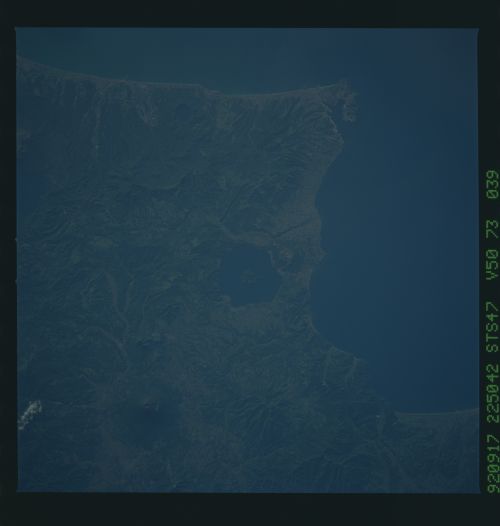
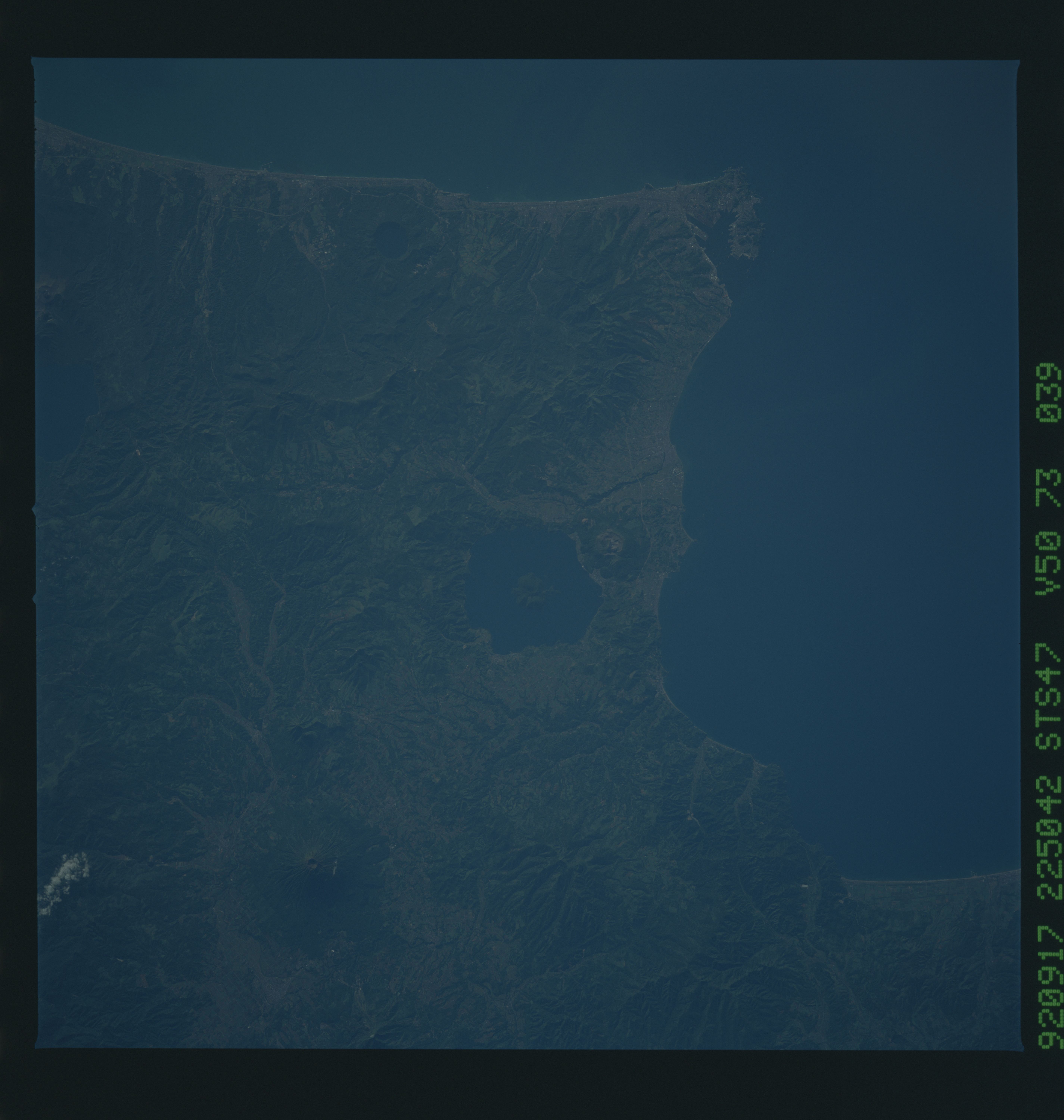
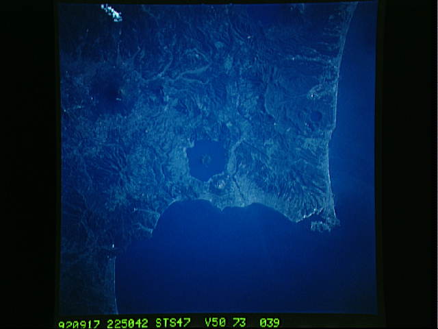
STS047-73-039 South Hokkaido, nadir view. This vertical view
shows the coastal city of Murroran, and the volcanic forms around
it, including the two crater lakes seen in the sunglint in
STS047-82-079 (the large one is Toyako). The large volcanic cone
is Iwaonupuri.
STS047-73-039 South Hokkaido, nadir view. This vertical view
shows the coastal city of Murroran, and the volcanic forms around
it, including the two crater lakes seen in the sunglint in
STS047-82-079 (the large one is Toyako). The large volcanic cone
is Iwaonupuri.
