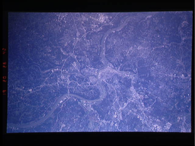
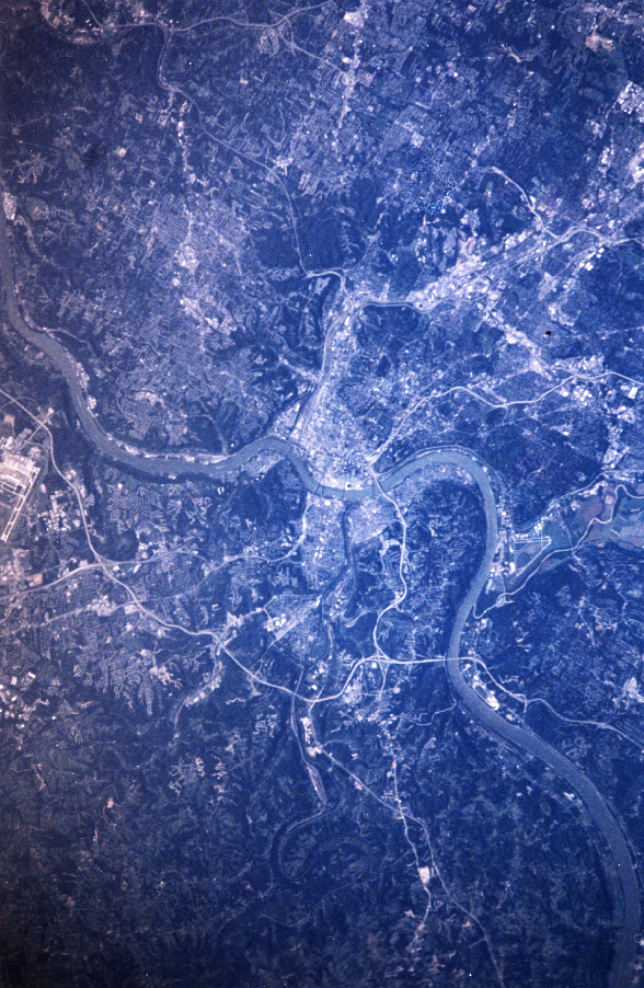
STS047-213-7
| NASA Photo ID | STS047-213-7 |
| Focal Length | mm |
| Date taken | 1992.09.19 |
| Time taken | 20:26:42 GMT |
Cloud masks available for this image:
Spacecraft nadir point: 38.8° N, 82.8° W
Photo center point: 39.0° N, 84.5° W
Photo center point by machine learning:
Photo center point: 39.0° N, 84.5° W
Photo center point by machine learning:
Nadir to Photo Center: West
Spacecraft Altitude: 168 nautical miles (311km)
Country or Geographic Name: | USA-OHIO |
Features: | CINCINNATI, OHIO RIVER |
| Features Found Using Machine Learning: | |
Cloud Cover Percentage: | 0 (no clouds present) |
Sun Elevation Angle: | 34° |
Sun Azimuth: | 239° |
Camera: | Nikon 35mm film camera |
Focal Length: | mm |
Camera Tilt: | 31 degrees |
Format: | FJ400: Fuji natural color negative, FUJI NHG, ASA 400, standard base |
Film Exposure: | Normal |
| Additional Information | |
| Width | Height | Annotated | Cropped | Purpose | Links |
|---|---|---|---|---|---|
| 588 pixels | 902 pixels | No | No | Cities collection | Download Image |
| 640 pixels | 480 pixels | No | No | ISD 1 | Download Image |
Download Packaged File
Download a Google Earth KML for this Image
View photo footprint information
Download a GeoTIFF for this photo
Image Caption: none
