STS047-151-11
| NASA Photo ID | STS047-151-11 |
| Focal Length | 250mm |
| Date taken | 1992.09.13 |
| Time taken | 01:26:53 GMT |
Resolutions offered for this image:
640 x 480 pixels
640 x 480 pixels
Cloud masks available for this image:
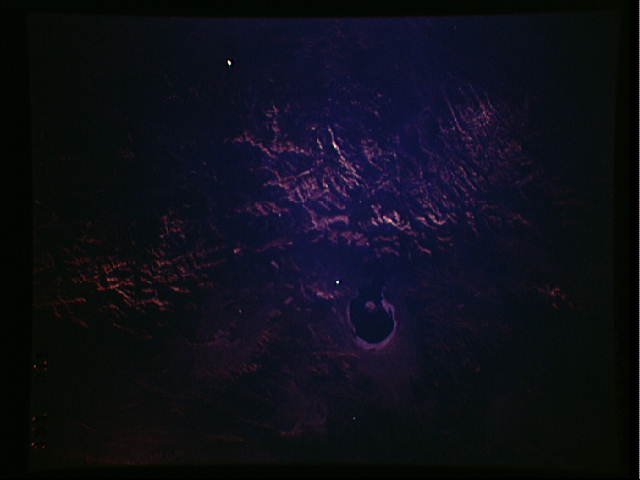
Spacecraft nadir point: 37.4° N, 118.2° W
Photo center point: 37.5° N, 119.0° W
Photo center point by machine learning:
Photo center point: 37.5° N, 119.0° W
Photo center point by machine learning:
Nadir to Photo Center: West
Spacecraft Altitude: 169 nautical miles (313km)
Country or Geographic Name: | USA-CALIFORNIA |
Features: | MONO LAKE |
| Features Found Using Machine Learning: | |
Cloud Cover Percentage: | 0 (no clouds present) |
Sun Elevation Angle: | 8° |
Sun Azimuth: | 271° |
Camera: | Linhof |
Focal Length: | 250mm |
Camera Tilt: | 16 degrees |
Format: | QX868: Kodak, natural color positive, Ektachrome QX868(5017 emulsion), ASA 64, thin base |
Film Exposure: | Under Exposed |
| Additional Information | |
| Width | Height | Annotated | Cropped | Purpose | Links |
|---|---|---|---|---|---|
| 640 pixels | 480 pixels | No | No | ISD 1 | Download Image |
Download Packaged File
Download a Google Earth KML for this Image
View photo footprint information
Download a GeoTIFF for this photo
Image Caption: none
