STS046-83-16
| NASA Photo ID | STS046-83-16 |
| Focal Length | 250mm |
| Date taken | 1992.08.01 |
| Time taken | 16:27:53 GMT |
Cloud masks available for this image:
Spacecraft nadir point: 25.3° N, 95.1° W
Photo center point:
Photo center point by machine learning:
Photo center point:
Photo center point by machine learning:
Nadir to Photo Center:
Spacecraft Altitude: 233 nautical miles (432km)
Country or Geographic Name: | GULF OF MEXICO |
Features: | SUNGLINT, SPIRAL EDDIES |
| Features Found Using Machine Learning: | |
Cloud Cover Percentage: | 20 (11-25)% |
Sun Elevation Angle: | 61° |
Sun Azimuth: | 99° |
Camera: | Hasselblad |
Focal Length: | 250mm |
Camera Tilt: | Low Oblique |
Format: | 5017: Kodak, natural color positive, Ektachrome, X Professional, ASA 64, standard base |
Film Exposure: | Normal |
| Additional Information | |
| Width | Height | Annotated | Cropped | Purpose | Links |
|---|---|---|---|---|---|
| 5700 pixels | 6000 pixels | No | No | Download Image | |
| 500 pixels | 526 pixels | No | No | Download Image | |
| 640 pixels | 480 pixels | No | No | Download Image |
Download Packaged File
Download a Google Earth KML for this Image
View photo footprint information
Download a GeoTIFF for this photo
Image Caption:
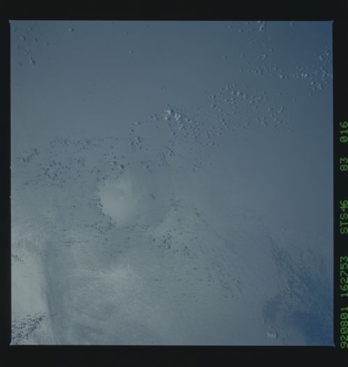
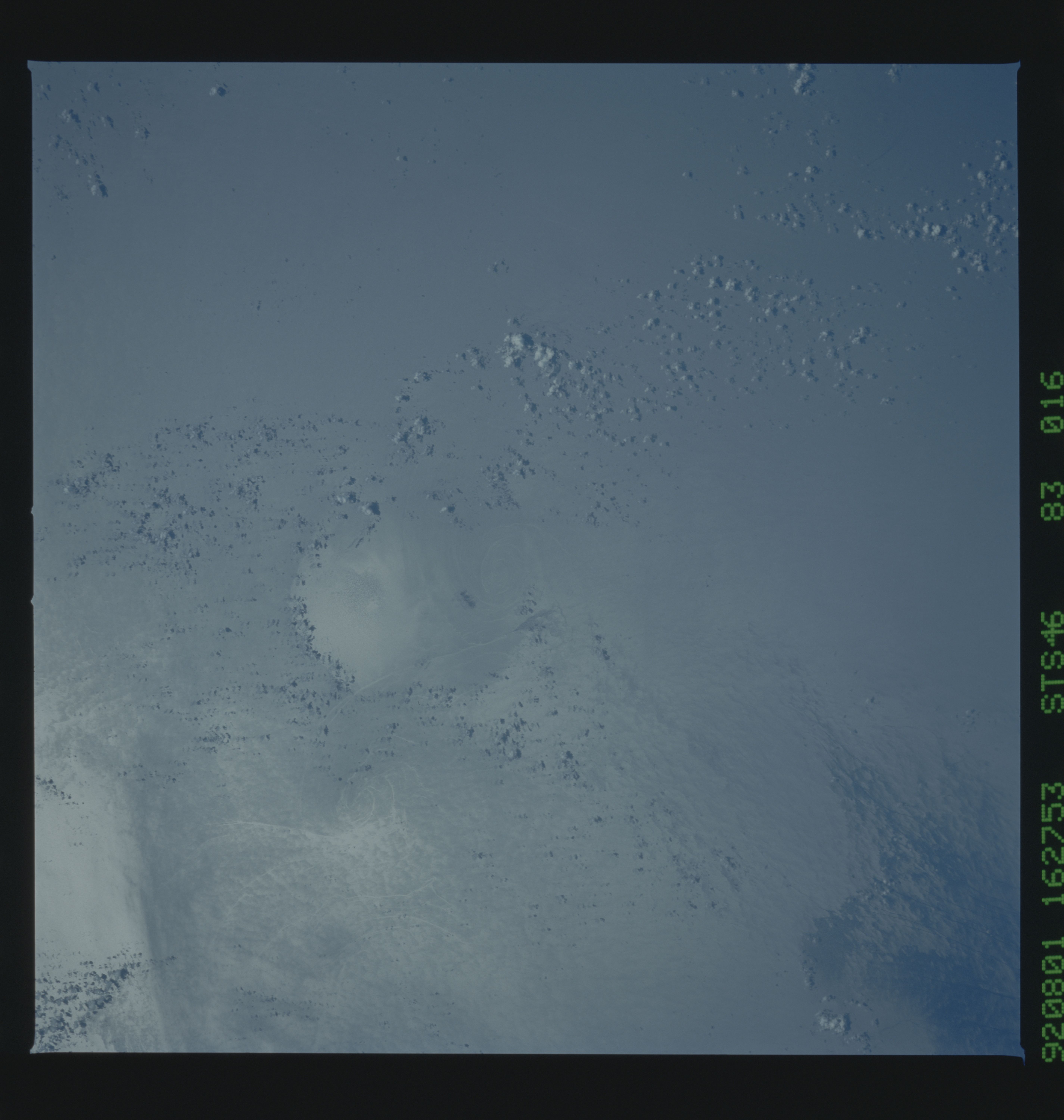
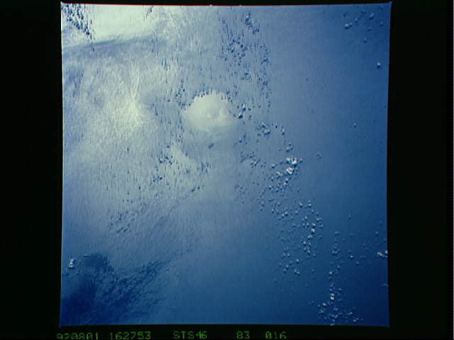
STS46-083-016. These eddies were photographed in the western
Gulf of Mexico and appear to have formed along the edge of the
continental shelf. Frequently, large eddies pinch off of the
Loop Current in the SE portion of the gulf, which then migrate
westward. As the large eddies encounter the continental shelf in
the western gulf, the kinetic energy is rapidly dissipated,
perhaps spawning these smaller eddies. The scene was photo-
graphed on 1 August, 16:28 GMT, from an altitude of 230 n.mi. us-
ing a Hasselblad camera equipped with a 250 mm lens and CVIS
film.
