STS046-82-30
| NASA Photo ID | STS046-82-30 |
| Focal Length | 250mm |
| Date taken | 1992.08.03 |
| Time taken | 07:12:26 GMT |
Resolutions offered for this image:
5700 x 6000 pixels 500 x 526 pixels 640 x 480 pixels 5150 x 5142 pixels 1288 x 1286 pixels
5700 x 6000 pixels 500 x 526 pixels 640 x 480 pixels 5150 x 5142 pixels 1288 x 1286 pixels

Cloud masks available for this image:
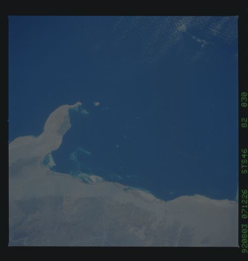
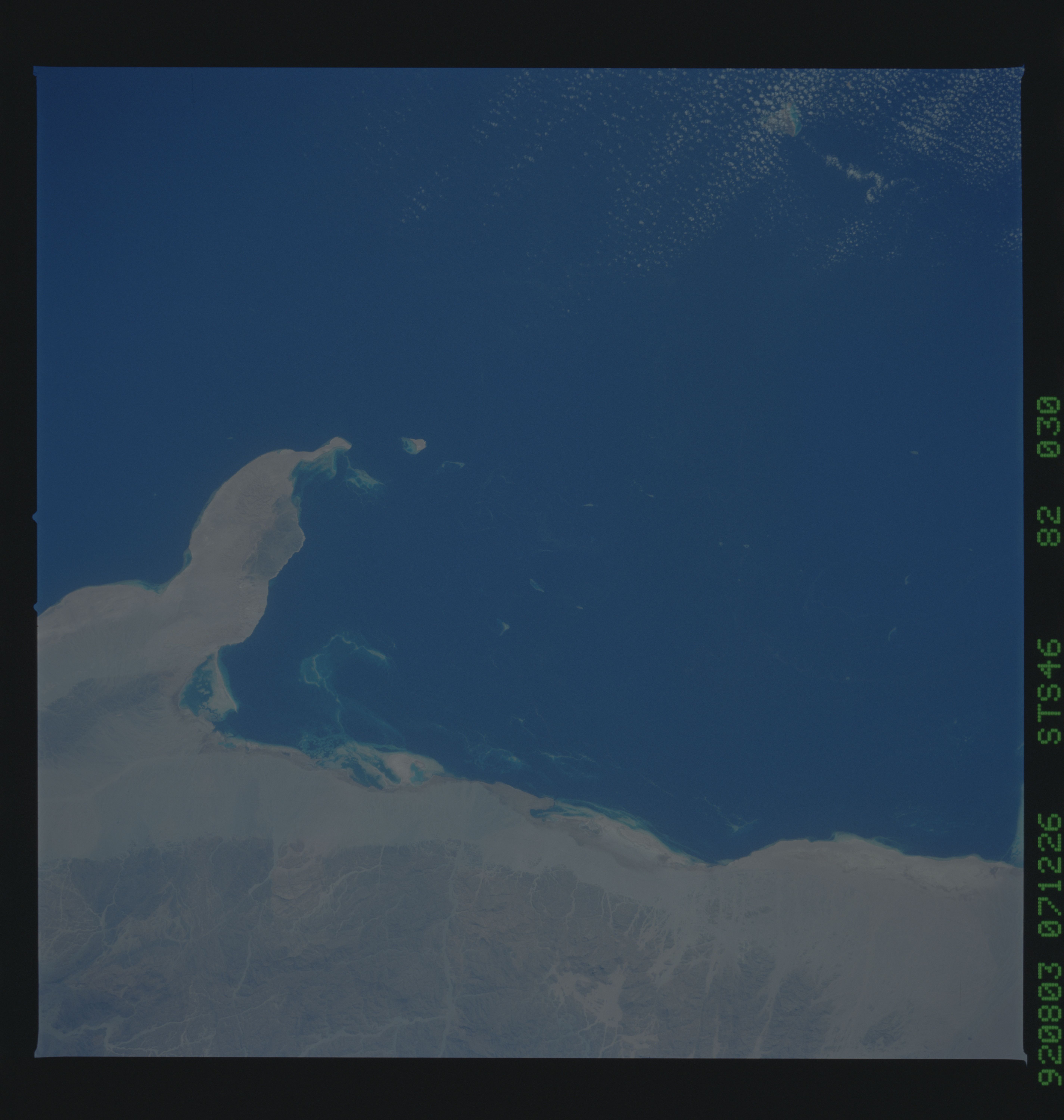
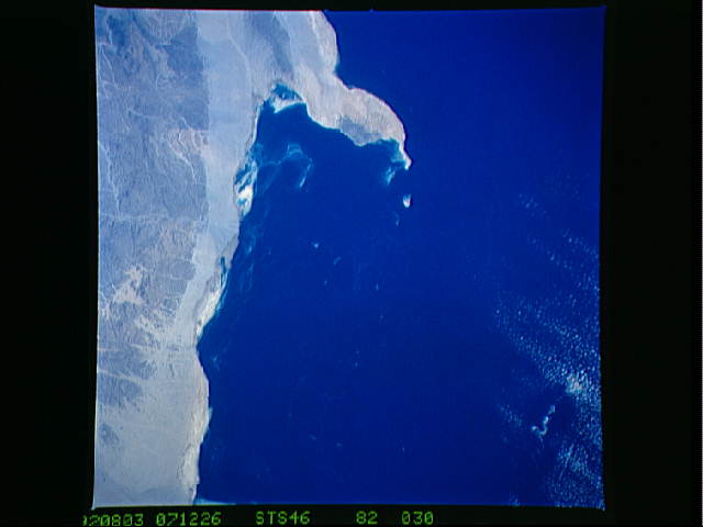
Spacecraft nadir point: 24.0° N, 36.3° E
Photo center point: 23.5° N, 35.5° E
Photo center point by machine learning:
Photo center point: 23.5° N, 35.5° E
Photo center point by machine learning:
Nadir to Photo Center: Southwest
Spacecraft Altitude: 232 nautical miles (430km)
Country or Geographic Name: | EGYPT |
Features: | RED SEA COAST |
| Features Found Using Machine Learning: | |
Cloud Cover Percentage: | 5 (1-10)% |
Sun Elevation Angle: | 55° |
Sun Azimuth: | 93° |
Camera: | Hasselblad |
Focal Length: | 250mm |
Camera Tilt: | 14 degrees |
Format: | 5017: Kodak, natural color positive, Ektachrome, X Professional, ASA 64, standard base |
Film Exposure: | Normal |
| Additional Information | |
| Width | Height | Annotated | Cropped | Purpose | Links |
|---|---|---|---|---|---|
| 5700 pixels | 6000 pixels | No | No | Download Image | |
| 500 pixels | 526 pixels | No | No | Download Image | |
| 640 pixels | 480 pixels | No | No | Download Image | |
| 5150 pixels | 5142 pixels | No | No | Reef RS | Download Image |
| 1288 pixels | 1286 pixels | No | No | Download Image |
Download Packaged File
Download a Google Earth KML for this Image
View photo footprint information
Download a GeoTIFF for this photo
Image Caption: none
