STS046-103-53
| NASA Photo ID | STS046-103-53 |
| Focal Length | 250mm |
| Date taken | 1992.08.06 |
| Time taken | 16:48:48 GMT |
Resolutions offered for this image:
4073 x 4073 pixels 639 x 639 pixels 5700 x 6000 pixels 500 x 526 pixels 640 x 480 pixels
4073 x 4073 pixels 639 x 639 pixels 5700 x 6000 pixels 500 x 526 pixels 640 x 480 pixels

Cloud masks available for this image:
Spacecraft nadir point: 9.8° S, 63.0° W
Photo center point:
Photo center point by machine learning:
Photo center point:
Photo center point by machine learning:
Nadir to Photo Center:
Spacecraft Altitude: 124 nautical miles (230km)
Country or Geographic Name: | BRAZIL |
Features: | CLEAR CUTTING, CITIES |
| Features Found Using Machine Learning: | |
Cloud Cover Percentage: | 5 (1-10)% |
Sun Elevation Angle: | 63° |
Sun Azimuth: | 345° |
Camera: | Hasselblad |
Focal Length: | 250mm |
Camera Tilt: | |
Format: | VELVI: Fuji, natural color positive, Velvia 50, CS 135-36, ASA 32, standard base |
Film Exposure: | Normal |
| Additional Information | |
| Width | Height | Annotated | Cropped | Purpose | Links |
|---|---|---|---|---|---|
| 4073 pixels | 4073 pixels | No | No | Earth From Space collection | Download Image |
| 639 pixels | 639 pixels | No | No | Earth From Space collection | Download Image |
| 5700 pixels | 6000 pixels | No | No | Download Image | |
| 500 pixels | 526 pixels | No | No | Download Image | |
| 640 pixels | 480 pixels | No | No | Download Image |
Download Packaged File
Download a Google Earth KML for this Image
View photo footprint information
Download a GeoTIFF for this photo
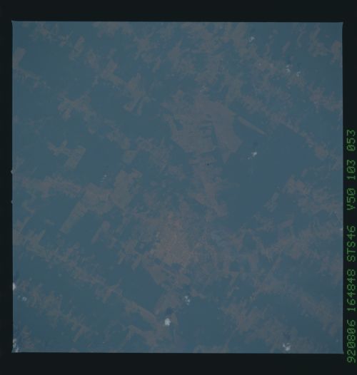
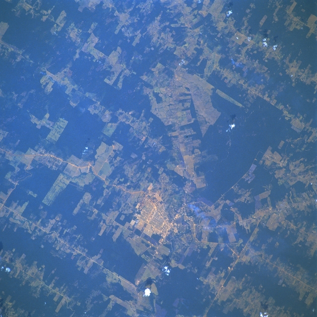
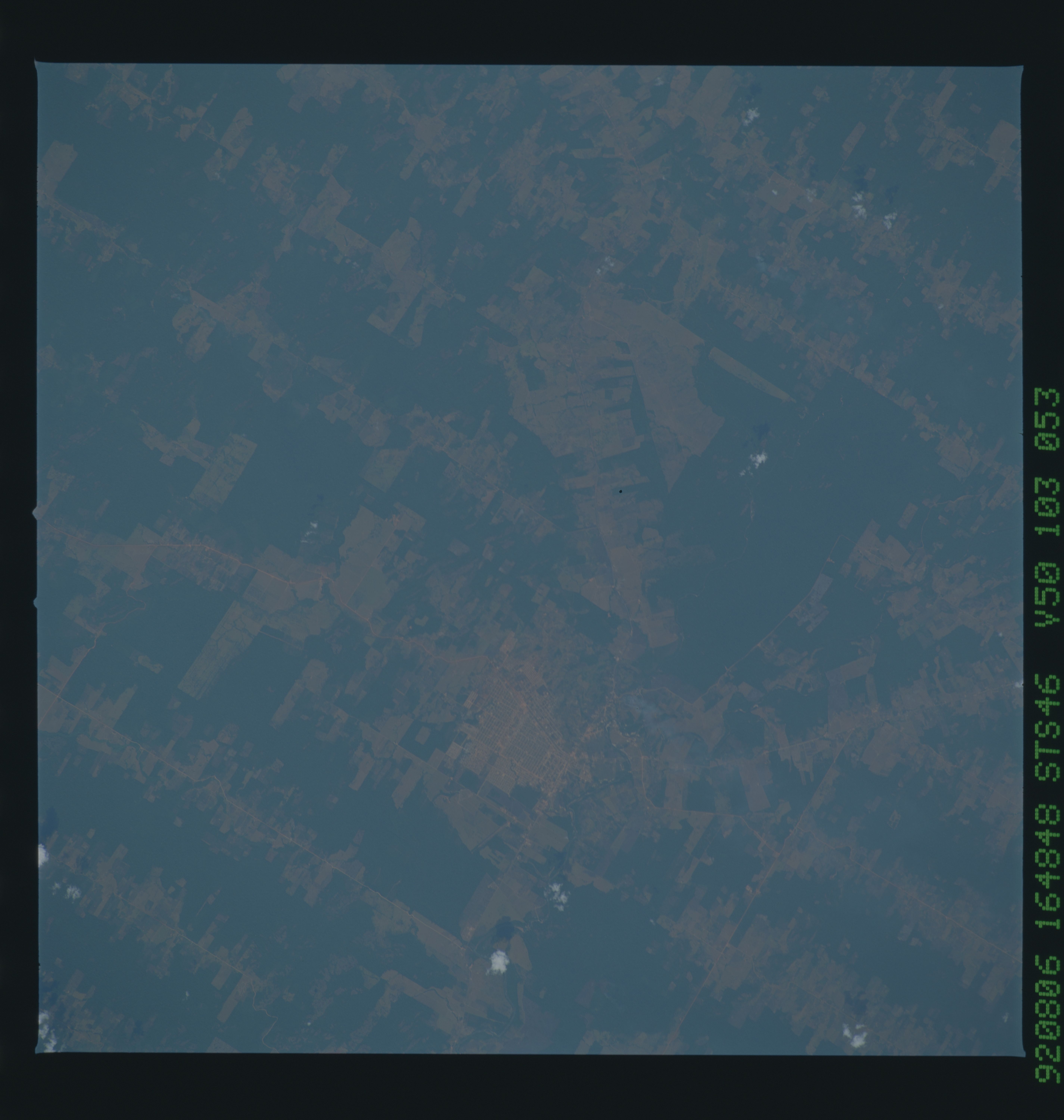
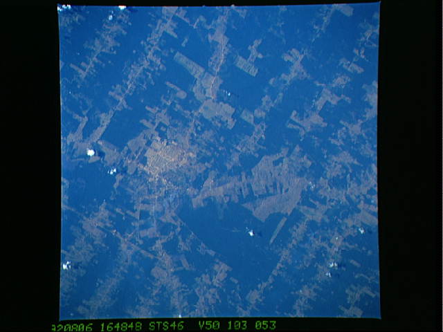
Image Caption: STS046-103-053 Ariquemes, Rondonia, Brazil August 1992
The gridded street pattern of Ariquemes. (1990 estimated population 70000 and Rondonia's fourth largest city), is visible slightly below the center of the image. Part of Highway BR-364 the main highway (light-colored line) through the region can be traced diagonally across the image, as it passes along the east side of Ariquemes. The darker landscape is the natural rainforest canopy and the lighter-colored terrain shows the extent of the clear cutting for logging and agricultural purposes-either crop production or cattle ranching. Notice that practically all of the truncated roads (light colored lines) are very straight and parallel to one another, thereby creating a pattern in Rondonia that is unique to this region of Brazil.
This view of deforestation in Rondonia, far western Brazil, (10.0S, 63.0W) is part of an agricultural resettlement project which ultimately covers an area about 80% the size of France. The patterns of deforestation in this part of the Amazon River Basin are usually aligned adjacent to highways, secondary roads, and streams for ease of access and transportation. Compare this view with the earlier 51G-37-062 for a comparison of deforestation in the region.
