STS045-94-9
| NASA Photo ID | STS045-94-9 |
| Focal Length | 250mm |
| Date taken | 1992.03.27 |
| Time taken | 12:14:59 GMT |

Cloud masks available for this image:
Spacecraft nadir point: 49.5° N, 52.7° W
Photo center point: 47.5° N, 54.0° W
Photo center point by machine learning:
Photo center point: 47.5° N, 54.0° W
Photo center point by machine learning:
Nadir to Photo Center: Southwest
Spacecraft Altitude: 164 nautical miles (304km)
Country or Geographic Name: | CANADA-N |
Features: | OBLIQUE, AVALON PENINSULA |
| Features Found Using Machine Learning: | |
Cloud Cover Percentage: | 20 (11-25)% |
Sun Elevation Angle: | 27° |
Sun Azimuth: | 120° |
Camera: | Hasselblad |
Focal Length: | 250mm |
Camera Tilt: | 41 degrees |
Format: | 5025: Kodak Ektachrome X Professional ASA 64 |
Film Exposure: | Normal |
| Additional Information | |
| Width | Height | Annotated | Cropped | Purpose | Links |
|---|---|---|---|---|---|
| 5700 pixels | 6000 pixels | No | No | Download Image | |
| 500 pixels | 526 pixels | No | No | Download Image | |
| 640 pixels | 480 pixels | No | No | Download Image |
Download Packaged File
Download a Google Earth KML for this Image
View photo footprint information
Download a GeoTIFF for this photo
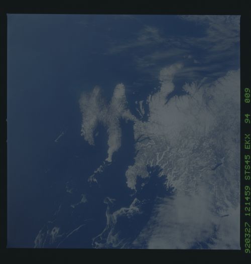
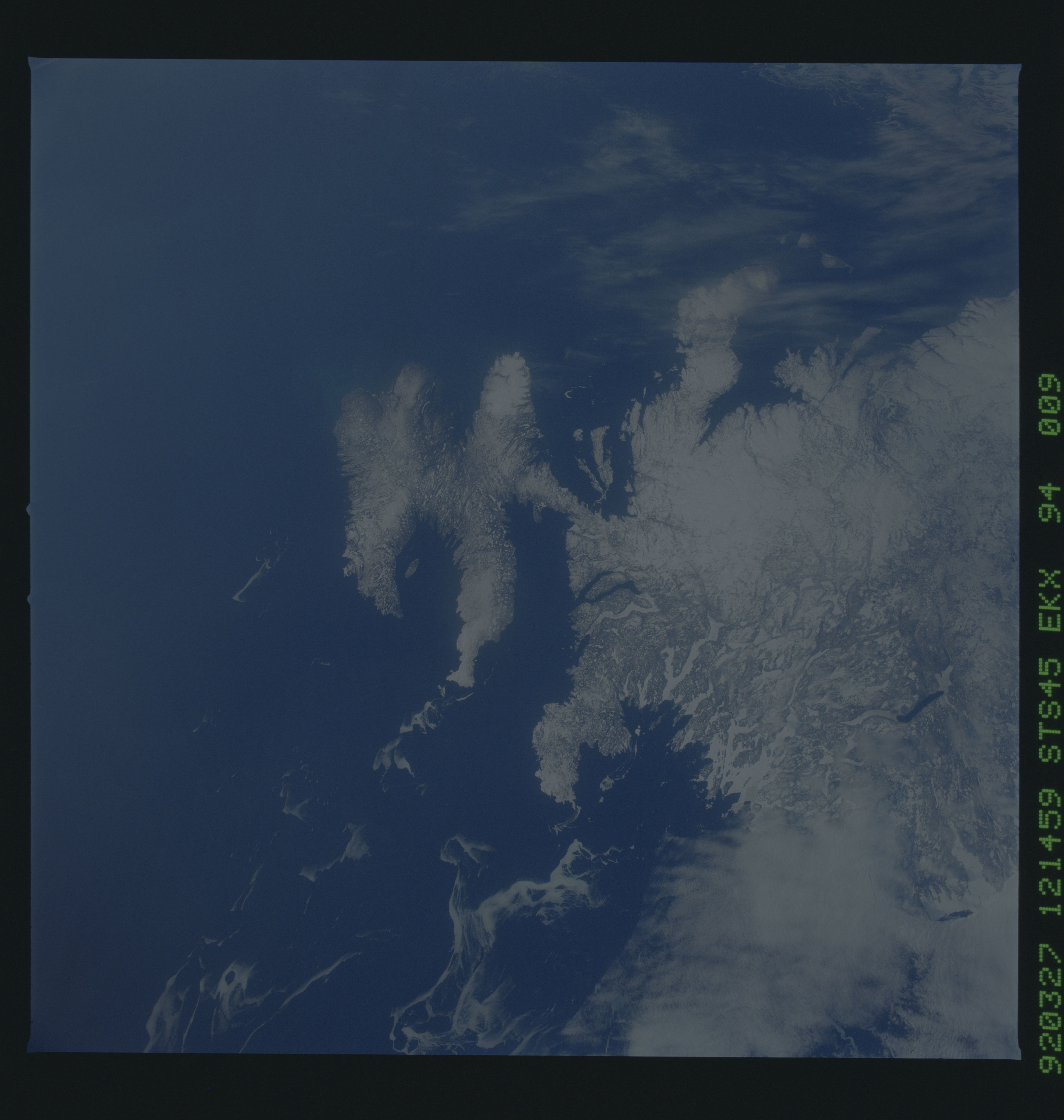
Image Caption: STS045-94-9 Avalon Peninsula
The eastern edge of Newfoundland is the funny-shaped Avalon Peninsula.
It is connected to the rest of Newfoundland by a narrow bridge of
land. Sea ice extends northward into the Labrador Sea. T284B
The eastern edge of Newfoundland is the funny-shaped Avalon Peninsula.
It is connected to the rest of Newfoundland by a narrow bridge of
land. Sea ice extends northward into the Labrador Sea. T284B
