STS045-83-6

| NASA Photo ID | STS045-83-6 |
| Focal Length | 250mm |
| Date taken | 1992.03.31 |
| Time taken | 11:27:40 GMT |
Cloud masks available for this image:
Spacecraft nadir point: 26.1° N, 49.1° E
Photo center point: 27.5° N, 49.5° E
Photo center point by machine learning:
Photo center point: 27.5° N, 49.5° E
Photo center point by machine learning:
Nadir to Photo Center: North
Spacecraft Altitude: 160 nautical miles (296km)
Country or Geographic Name: | SAUDI ARABIA |
Features: | COASTLINE NEAR ABU ALI |
| Features Found Using Machine Learning: | |
Cloud Cover Percentage: | 20 (11-25)% |
Sun Elevation Angle: | 46° |
Sun Azimuth: | 247° |
Camera: | Hasselblad |
Focal Length: | 250mm |
Camera Tilt: | 29 degrees |
Format: | 5017: Kodak, natural color positive, Ektachrome, X Professional, ASA 64, standard base |
Film Exposure: | Normal |
| Additional Information | |
| Width | Height | Annotated | Cropped | Purpose | Links |
|---|---|---|---|---|---|
| 5700 pixels | 6000 pixels | No | No | Download Image | |
| 500 pixels | 526 pixels | No | No | Download Image | |
| 640 pixels | 480 pixels | No | No | Download Image |
Download Packaged File
Download a Google Earth KML for this Image
View photo footprint information
Download a GeoTIFF for this photo
Image Caption:
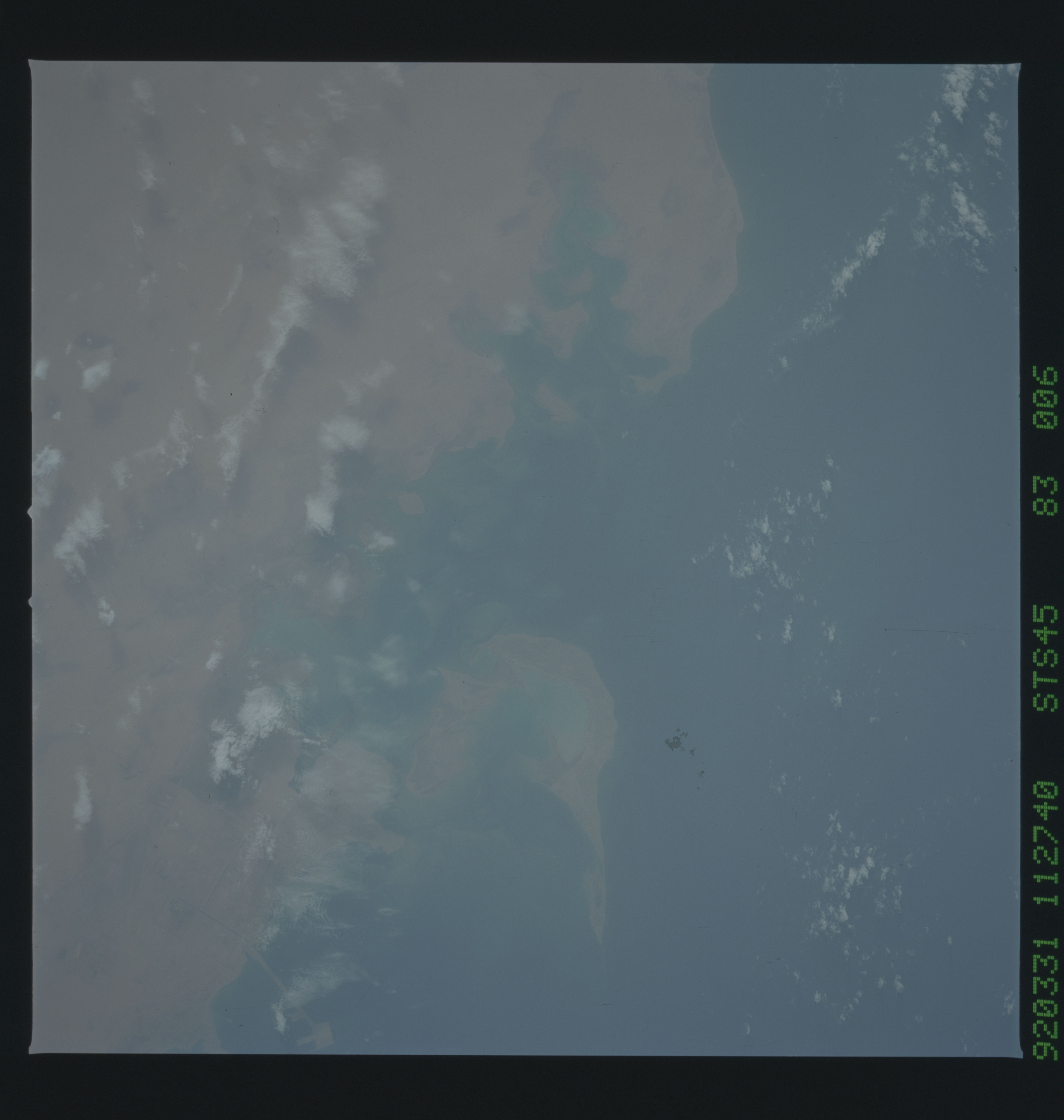
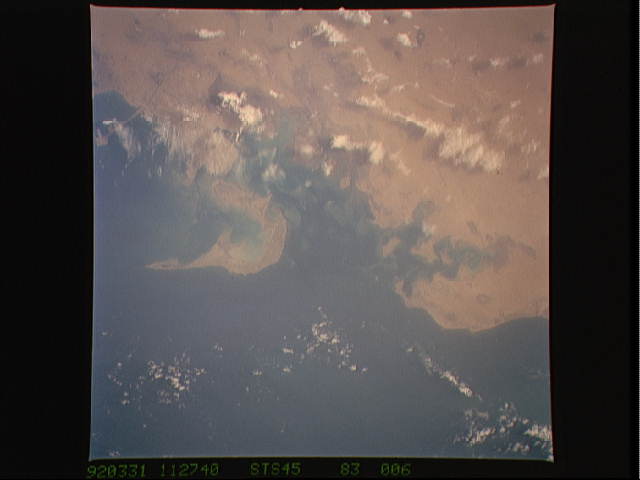
STS045-83-006: Abu Ali Island, Saudi Arabia, Persian Gulf The
view of the Abu Ali area shows water color and bottom features.
During STS-45, the area north of Abu Ali island was surveyed by
an international group of environmental scientists to assess the
effects of the oil spills resulting from the recent Gulf War.
