STS045-78-52
| NASA Photo ID | STS045-78-52 |
| Focal Length | 100mm |
| Date taken | 1992.03.26 |
| Time taken | 22:30:19 GMT |
Resolutions offered for this image:
5700 x 6000 pixels 500 x 526 pixels 640 x 480 pixels 2656 x 2490 pixels
5700 x 6000 pixels 500 x 526 pixels 640 x 480 pixels 2656 x 2490 pixels

Cloud masks available for this image:
Spacecraft nadir point: 17.2° N, 118.9° E
Photo center point: 15.0° N, 120.5° E
Photo center point by machine learning:
Photo center point: 15.0° N, 120.5° E
Photo center point by machine learning:
Nadir to Photo Center: Southeast
Spacecraft Altitude: 159 nautical miles (294km)
Country or Geographic Name: | PHILIPPINES |
Features: | MT. PINATUBO |
| Features Found Using Machine Learning: | |
Cloud Cover Percentage: | 5 (1-10)% |
Sun Elevation Angle: | 6° |
Sun Azimuth: | 89° |
Camera: | Hasselblad |
Focal Length: | 100mm |
Camera Tilt: | 46 degrees |
Format: | 5017: Kodak, natural color positive, Ektachrome, X Professional, ASA 64, standard base |
Film Exposure: | Normal |
| Additional Information | |
| Width | Height | Annotated | Cropped | Purpose | Links |
|---|---|---|---|---|---|
| 5700 pixels | 6000 pixels | No | No | Download Image | |
| 500 pixels | 526 pixels | No | No | Download Image | |
| 640 pixels | 480 pixels | No | No | Download Image | |
| 2656 pixels | 2490 pixels | Download Image |
Download Packaged File
Download a Google Earth KML for this Image
View photo footprint information
Download a GeoTIFF for this photo
Image Caption:
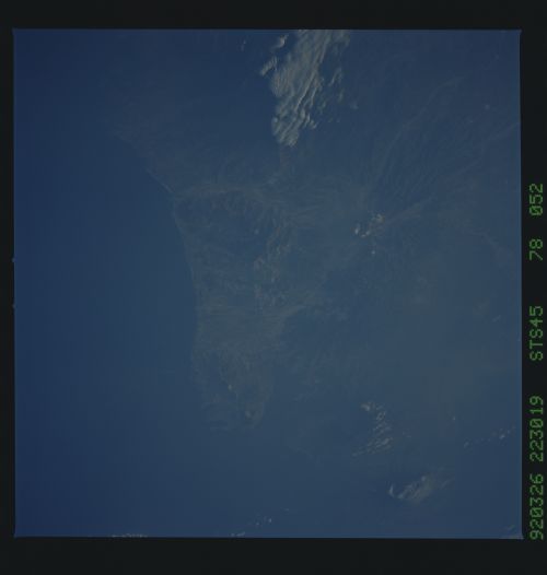
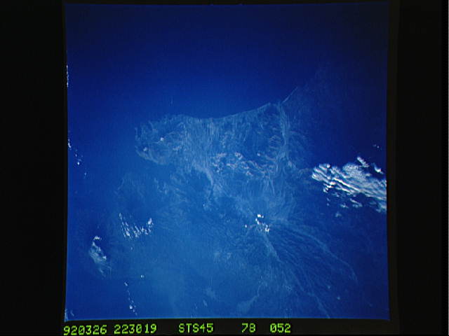
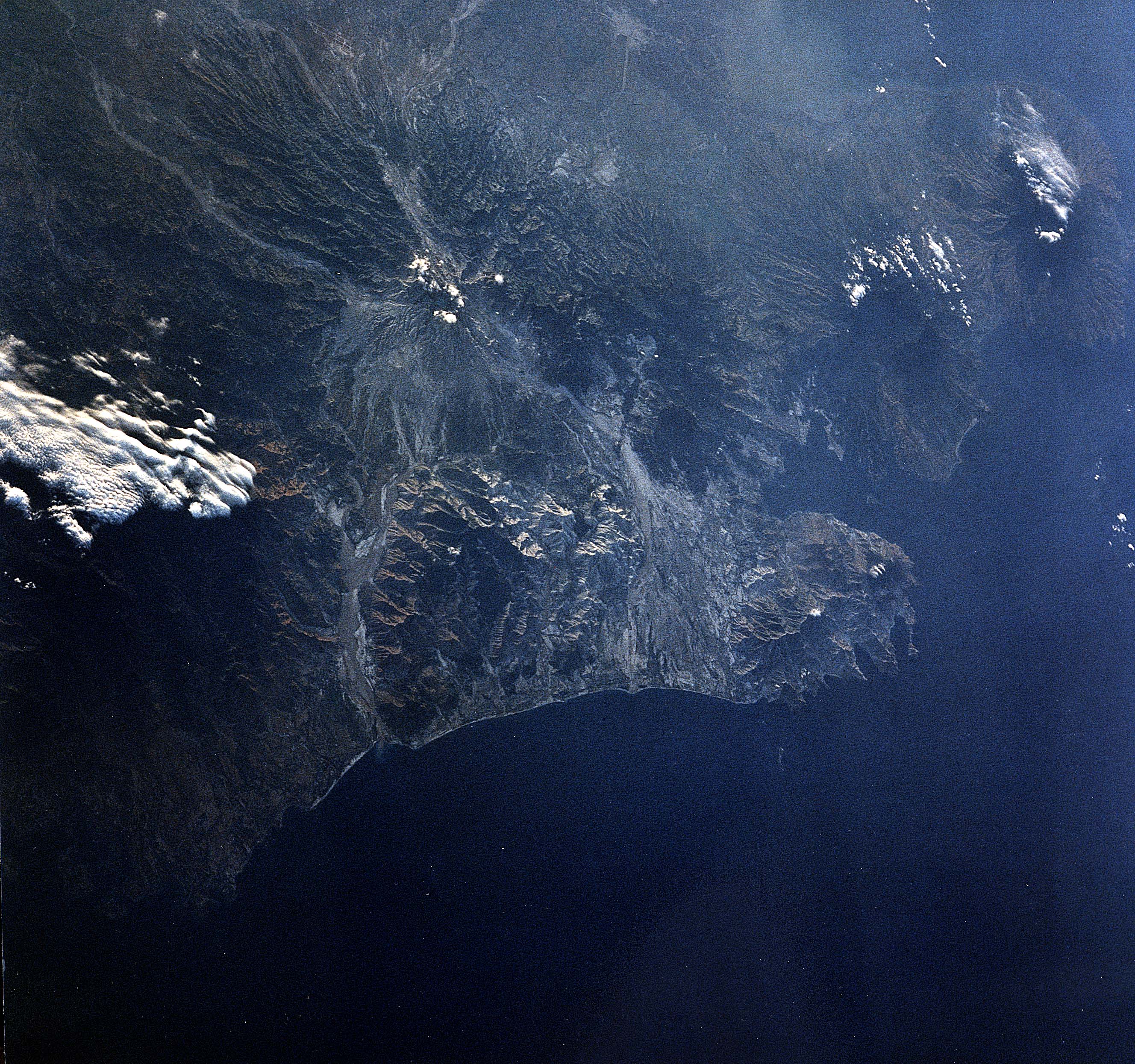
STS045-78-052: Pinatubo, Luzon, Philippines This is a near vert-
ical view on Pinatubo, and clearly shows the summit area, and the
immediate extent of the volcanic eruption on the volcano's
flanks, especially to the west. The western mountains are almost
completely deforested, and all of the river beds draining Pinatu-
bo have been widened several-fold from the large ash and debris
loads. This is the first close range Shuttle image of Pinatubo
since the June 1991 eruption.
