STS045-618-16
| NASA Photo ID | STS045-618-16 |
| Focal Length | 250mm |
| Date taken | 1992.03.30 |
| Time taken | 16:06:00 GMT |
Cloud masks available for this image:
Spacecraft nadir point: 15.0° S, 12.5° E
Photo center point: 17.5° S, 11.5° E
Photo center point by machine learning:
Photo center point: 17.5° S, 11.5° E
Photo center point by machine learning:
Nadir to Photo Center: South
Spacecraft Altitude: 161 nautical miles (298km)
Country or Geographic Name: | NAMIBIA |
Features: | NAMIB DESERT |
| Features Found Using Machine Learning: | |
Cloud Cover Percentage: | 0 (no clouds present) |
Sun Elevation Angle: | 15° |
Sun Azimuth: | 278° |
Camera: | Rolleiflex |
Focal Length: | 250mm |
Camera Tilt: | 45 degrees |
Format: | 5017: Kodak, natural color positive, Ektachrome, X Professional, ASA 64, standard base |
Film Exposure: | Normal |
| Additional Information | |
| Width | Height | Annotated | Cropped | Purpose | Links |
|---|---|---|---|---|---|
| 5700 pixels | 6000 pixels | No | No | Download Image | |
| 500 pixels | 526 pixels | No | No | Download Image | |
| 640 pixels | 480 pixels | No | No | Download Image |
Download Packaged File
Download a Google Earth KML for this Image
View photo footprint information
Download a GeoTIFF for this photo
Image Caption:
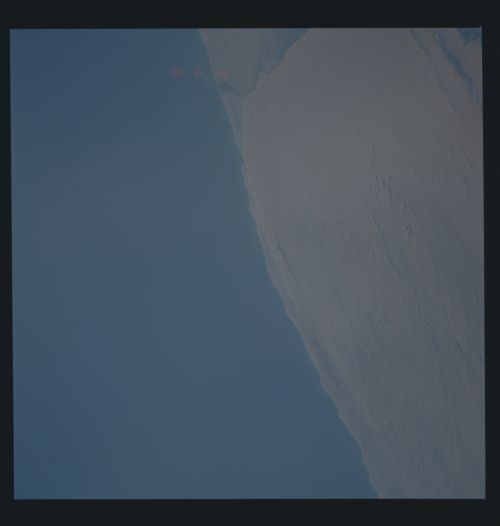
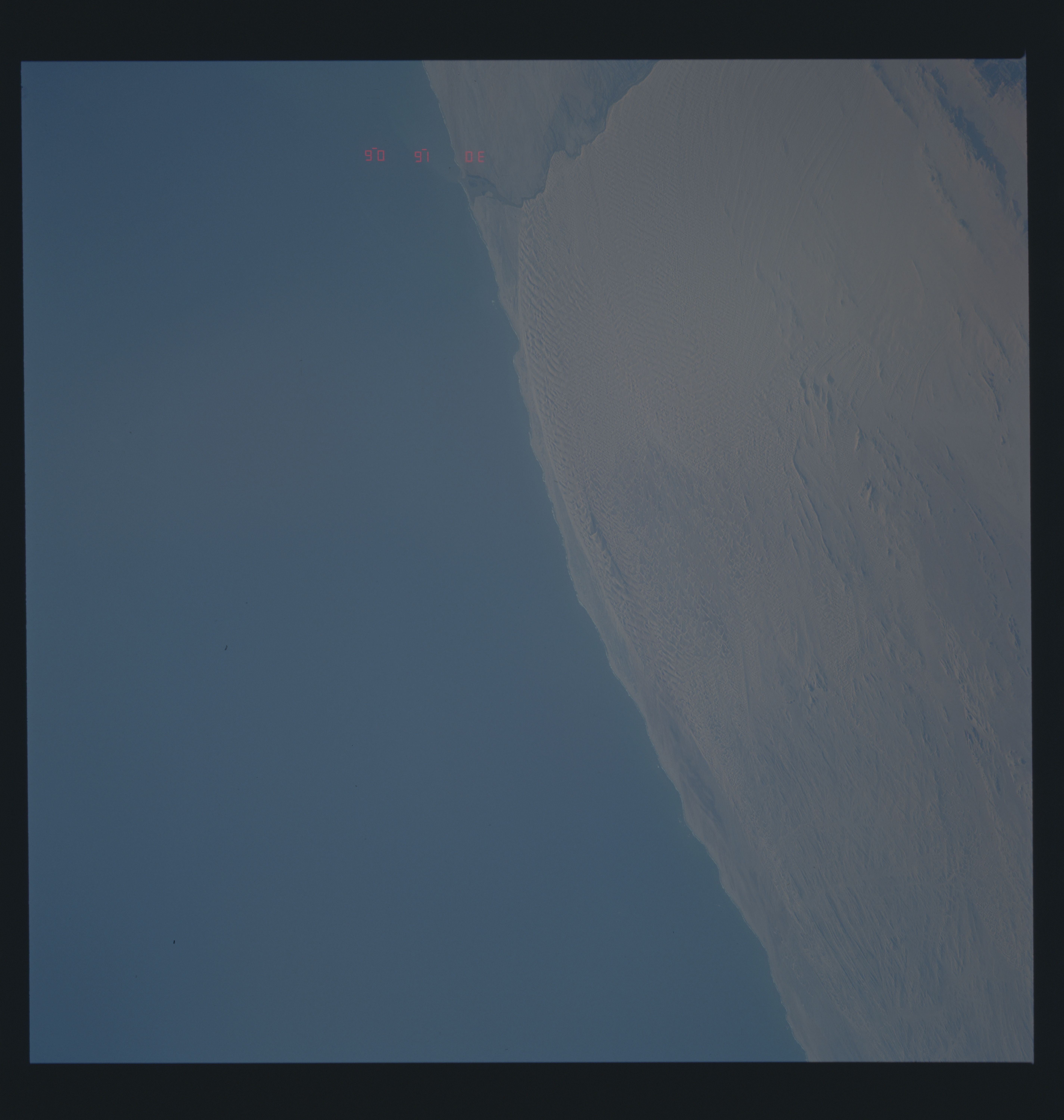
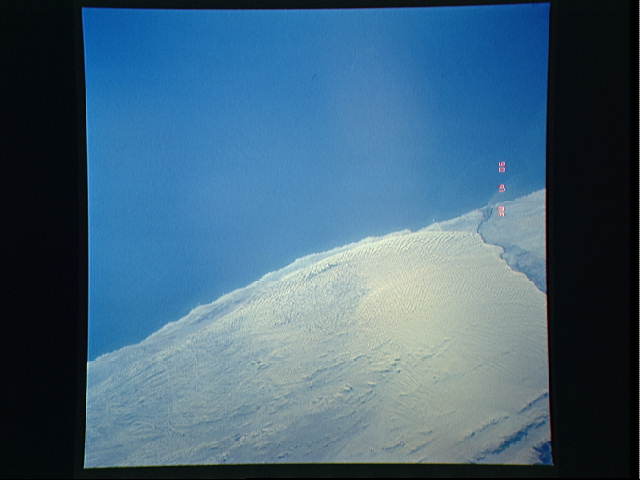
STS045-618-013 and STS045-618-016: Namib Desert Dune Patterns
STS045-618-013: Namib Desert coastal dunes, southern Angola.
The trend of the dunes in the sand sea show a great clockwise
"wheelround." A similar pattern of dune trends occurs further
south in Namibia (STS045-618-016), south of the Cunene River (the
border between Namibia and Angola). Friction caused when south-
erly winds blow off the ocean over relatively rougher landsur-
faces are deflected rightwards in the southern hemisphere. De-
flection of winds up major river valleys may also help explain
this striking pattern.
