STS045-601-23
| NASA Photo ID | STS045-601-23 |
| Focal Length | 250mm |
| Date taken | 1992.03.26 |
| Time taken | 13:58:00 GMT |
Resolutions offered for this image:
5235 x 5131 pixels 639 x 627 pixels 5700 x 6000 pixels 500 x 526 pixels 640 x 480 pixels
5235 x 5131 pixels 639 x 627 pixels 5700 x 6000 pixels 500 x 526 pixels 640 x 480 pixels

Cloud masks available for this image:
Spacecraft nadir point: 32.8° N, 32.8° E
Photo center point: 32.5° N, 35.5° E
Photo center point by machine learning:
Photo center point: 32.5° N, 35.5° E
Photo center point by machine learning:
Nadir to Photo Center: East
Spacecraft Altitude: 163 nautical miles (302km)
Country or Geographic Name: | ISRAEL |
Features: | HAIFA, LAKE TIBERIAS |
| Features Found Using Machine Learning: | |
Cloud Cover Percentage: | 0 (no clouds present) |
Sun Elevation Angle: | 25° |
Sun Azimuth: | 255° |
Camera: | Rolleiflex |
Focal Length: | 250mm |
Camera Tilt: | 45 degrees |
Format: | 5017: Kodak, natural color positive, Ektachrome, X Professional, ASA 64, standard base |
Film Exposure: | Normal |
| Additional Information | |
| Width | Height | Annotated | Cropped | Purpose | Links |
|---|---|---|---|---|---|
| 5235 pixels | 5131 pixels | No | No | Earth From Space collection | Download Image |
| 639 pixels | 627 pixels | No | No | Earth From Space collection | Download Image |
| 5700 pixels | 6000 pixels | No | No | Download Image | |
| 500 pixels | 526 pixels | No | No | Download Image | |
| 640 pixels | 480 pixels | No | No | Download Image |
Download Packaged File
Download a Google Earth KML for this Image
View photo footprint information
Download a GeoTIFF for this photo
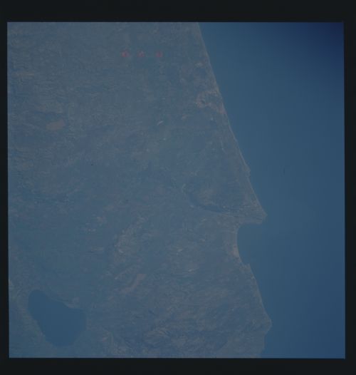
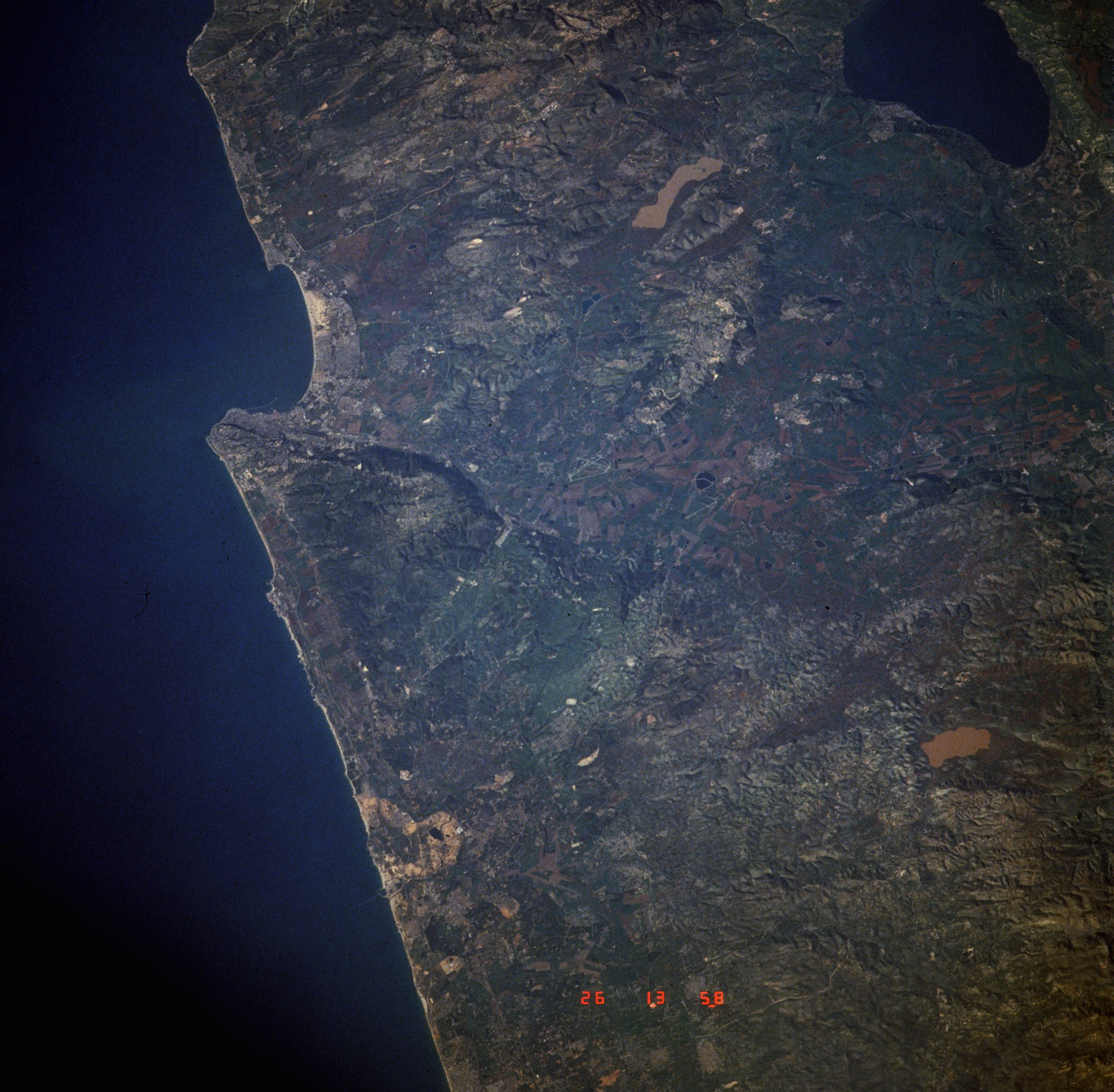
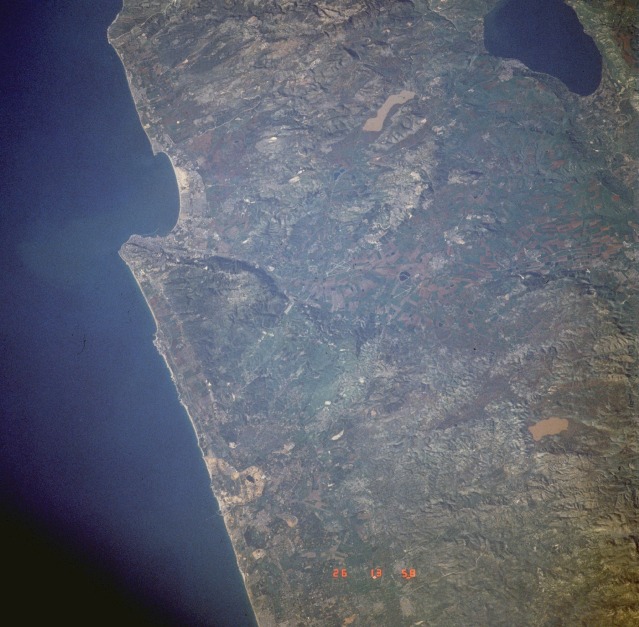
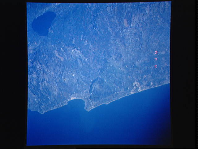
Image Caption: STS045-601-023 Haifa, Israel March 1992
The seaport of Haifa (population of approximately 290 000) is located at the south end of Haifa Bay in northern Israel. Except for a few airport runways, no infrastructure can be discerned at this scale. A narrow coastal plain abuts this segment of the eastern Mediterranean Sea. The Sea of Galilee (Lake Tiberias), the large body of water approximately 25 miles (40 kilometers) inland from Haifa, is reported to be a freshwater lake, although some publications report saline characteristics. Most water recharge entering the Sea of Galilee comes from melting snow off the mountains at the northern end of the Jordan River. The topography is rugged and hilly with the exception of sizable cultivated plains (green and brown field patterns) west-southwest of the Sea of Galilee.
The seaport of Haifa (population of approximately 290 000) is located at the south end of Haifa Bay in northern Israel. Except for a few airport runways, no infrastructure can be discerned at this scale. A narrow coastal plain abuts this segment of the eastern Mediterranean Sea. The Sea of Galilee (Lake Tiberias), the large body of water approximately 25 miles (40 kilometers) inland from Haifa, is reported to be a freshwater lake, although some publications report saline characteristics. Most water recharge entering the Sea of Galilee comes from melting snow off the mountains at the northern end of the Jordan River. The topography is rugged and hilly with the exception of sizable cultivated plains (green and brown field patterns) west-southwest of the Sea of Galilee.
