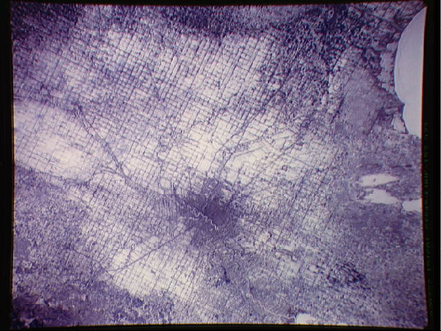
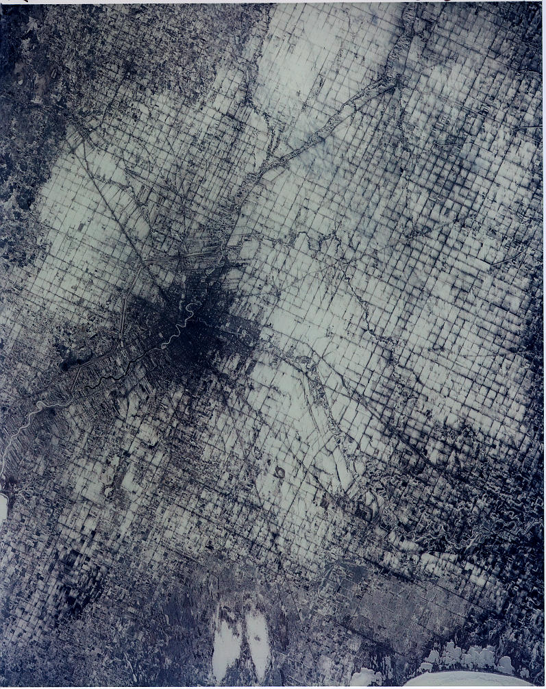
STS045-153-77
| NASA Photo ID | STS045-153-77 |
| Focal Length | 250mm |
| Date taken | 1992.03.27 |
| Time taken | 15:16:01 GMT |
Cloud masks available for this image:
Spacecraft nadir point: 49.9° N, 97.7° W
Photo center point: 50.0° N, 97.0° W
Photo center point by machine learning:
Photo center point: 50.0° N, 97.0° W
Photo center point by machine learning:
Nadir to Photo Center: East
Spacecraft Altitude: 164 nautical miles (304km)
Country or Geographic Name: | CANADA-M |
Features: | WINNIPEG |
| Features Found Using Machine Learning: | |
Cloud Cover Percentage: | 0 (no clouds present) |
Sun Elevation Angle: | 27° |
Sun Azimuth: | 121° |
Camera: | Linhof |
Focal Length: | 250mm |
Camera Tilt: | 15 degrees |
Format: | QX868: Kodak, natural color positive, Ektachrome QX868(5017 emulsion), ASA 64, thin base |
Film Exposure: | Normal |
| Additional Information | |
| Width | Height | Annotated | Cropped | Purpose | Links |
|---|---|---|---|---|---|
| 797 pixels | 1006 pixels | No | No | Cities collection | Download Image |
| 640 pixels | 480 pixels | No | No | ISD 1 | Download Image |
Download Packaged File
Download a Google Earth KML for this Image
View photo footprint information
Download a GeoTIFF for this photo
Image Caption: none
