STS045-152-27
| NASA Photo ID | STS045-152-27 |
| Focal Length | 250mm |
| Date taken | 1992.03.28 |
| Time taken | 11:10:34 GMT |
Cloud masks available for this image:
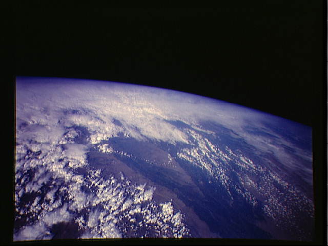
Spacecraft nadir point: 29.3° N, 67.4° E
Photo center point: 31.0° N, 72.0° E
Photo center point by machine learning:
Photo center point: 31.0° N, 72.0° E
Photo center point by machine learning:
Nadir to Photo Center: East
Spacecraft Altitude: 162 nautical miles (300km)
Country or Geographic Name: | PAKISTAN |
Features: | INDUS RIVER FLOODPLAIN |
| Features Found Using Machine Learning: | |
Cloud Cover Percentage: | 70 (51-75)% |
Sun Elevation Angle: | 33° |
Sun Azimuth: | 253° |
Camera: | Linhof |
Focal Length: | 250mm |
Camera Tilt: | High Oblique |
Format: | QX868: Kodak, natural color positive, Ektachrome QX868(5017 emulsion), ASA 64, thin base |
Film Exposure: | Normal |
| Additional Information | |
| Width | Height | Annotated | Cropped | Purpose | Links |
|---|---|---|---|---|---|
| 640 pixels | 480 pixels | No | No | ISD 1 | Download Image |
| 1082 pixels | 1421 pixels | No | No | Download Image |
Download Packaged File
Download a Google Earth KML for this Image
View photo footprint information
Download a GeoTIFF for this photo
Image Caption:
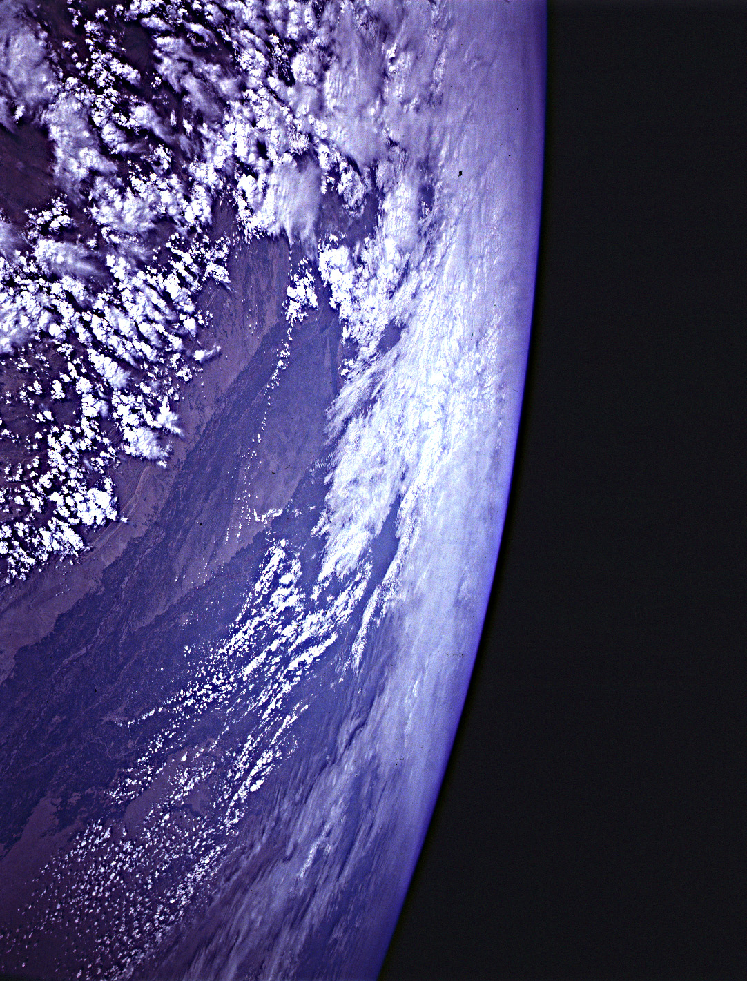
STS045-152-027: Manila Bay and Taal volcano, Luzon, Philippines
Just south of Manila Bay is another volcano, Taal, which is fre-
quently active and is generally thought of as a greater volcanic
hazard than Pinatubo. Taal, the large lake- filled caldera,
triggered a volcanic alert roughly one month ago when its seismic
activity increased (consistent with the upward migration of mag-
ma) and the lake temperature increased by several degrees. This
photograph clearly shows discolored water in the small crater
lake on the summit of the volcano in the middle of the lake.
