STS044-82-90
| NASA Photo ID | STS044-82-90 |
| Focal Length | 100mm |
| Date taken | 1991.11.29 |
| Time taken | 06:09:30 GMT |


Cloud masks available for this image:
Spacecraft nadir point: 27.1° N, 130.9° E
Photo center point: 33.0° N, 130.0° E
Photo center point by machine learning:
Photo center point: 33.0° N, 130.0° E
Photo center point by machine learning:
Nadir to Photo Center: North
Spacecraft Altitude: 197 nautical miles (365km)
Country or Geographic Name: | JAPAN |
Features: | SAKURA-JIMA, SMOKING |
| Features Found Using Machine Learning: | |
Cloud Cover Percentage: | 40 (26-50)% |
Sun Elevation Angle: | 1° |
Sun Azimuth: | 245° |
Camera: | Hasselblad |
Focal Length: | 100mm |
Camera Tilt: | Low Oblique |
Format: | VELVI: Fuji, natural color positive, Velvia 50, CS 135-36, ASA 32, standard base |
Film Exposure: | Normal |
| Additional Information | |
| Width | Height | Annotated | Cropped | Purpose | Links |
|---|---|---|---|---|---|
| 5700 pixels | 6000 pixels | No | No | Download Image | |
| 500 pixels | 526 pixels | No | No | Download Image | |
| 640 pixels | 480 pixels | No | No | Download Image |
Download Packaged File
Download a Google Earth KML for this Image
View photo footprint information
Download a GeoTIFF for this photo
Image Caption:
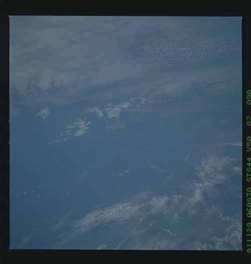
STS044-82-090, STS044-82-094: KYUSHU, JAPAN, AND UNZEN VOLCANO
These two frames show a volcanic plume from the summit of Unzen,
Kyushu, which erupted catastrophically in May and June 1991. The
oblique photos feature on the east and southeast slopes of the
volcano the domes and ash flow deposits from this summer's erup-
tion. Lava dome buildup continues, with periodic partial col-
lapses and resultant pyroclastic flows. STS044-82-094 also shows
the volcanic complex of Aso, to the east of Unzen. Aso was ac-
tive in early 1991.
