STS043-608-46

| NASA Photo ID | STS043-608-46 |
| Focal Length | 250mm |
| Date taken | 1991.08.__ |
| Time taken | GMT |
Resolutions offered for this image:
4096 x 4096 pixels 640 x 640 pixels 4396 x 4600 pixels 500 x 523 pixels 640 x 480 pixels 5242 x 5187 pixels
4096 x 4096 pixels 640 x 640 pixels 4396 x 4600 pixels 500 x 523 pixels 640 x 480 pixels 5242 x 5187 pixels
Cloud masks available for this image:
Spacecraft nadir point:
Photo center point: 26.5° N, 128.0° E
Photo center point by machine learning:
Photo center point: 26.5° N, 128.0° E
Photo center point by machine learning:
Nadir to Photo Center:
Spacecraft Altitude: nautical miles (0km)
Country or Geographic Name: | JAPAN |
Features: | OKINAWA, IZENA/IHEYA IS. |
| Features Found Using Machine Learning: | |
Cloud Cover Percentage: | 5 (1-10)% |
Sun Elevation Angle: | ° |
Sun Azimuth: | ° |
Camera: | Rolleiflex |
Focal Length: | 250mm |
Camera Tilt: | Low Oblique |
Format: | 5017: Kodak, natural color positive, Ektachrome, X Professional, ASA 64, standard base |
Film Exposure: | Normal |
| Additional Information | |
| Width | Height | Annotated | Cropped | Purpose | Links |
|---|---|---|---|---|---|
| 4096 pixels | 4096 pixels | No | No | Earth From Space collection | Download Image |
| 640 pixels | 640 pixels | No | No | Earth From Space collection | Download Image |
| 4396 pixels | 4600 pixels | No | No | Download Image | |
| 500 pixels | 523 pixels | No | No | Download Image | |
| 640 pixels | 480 pixels | No | No | Download Image | |
| 5242 pixels | 5187 pixels | Reef RS | Download Image |
Download Packaged File
Download a Google Earth KML for this Image
View photo footprint information
Download a GeoTIFF for this photo
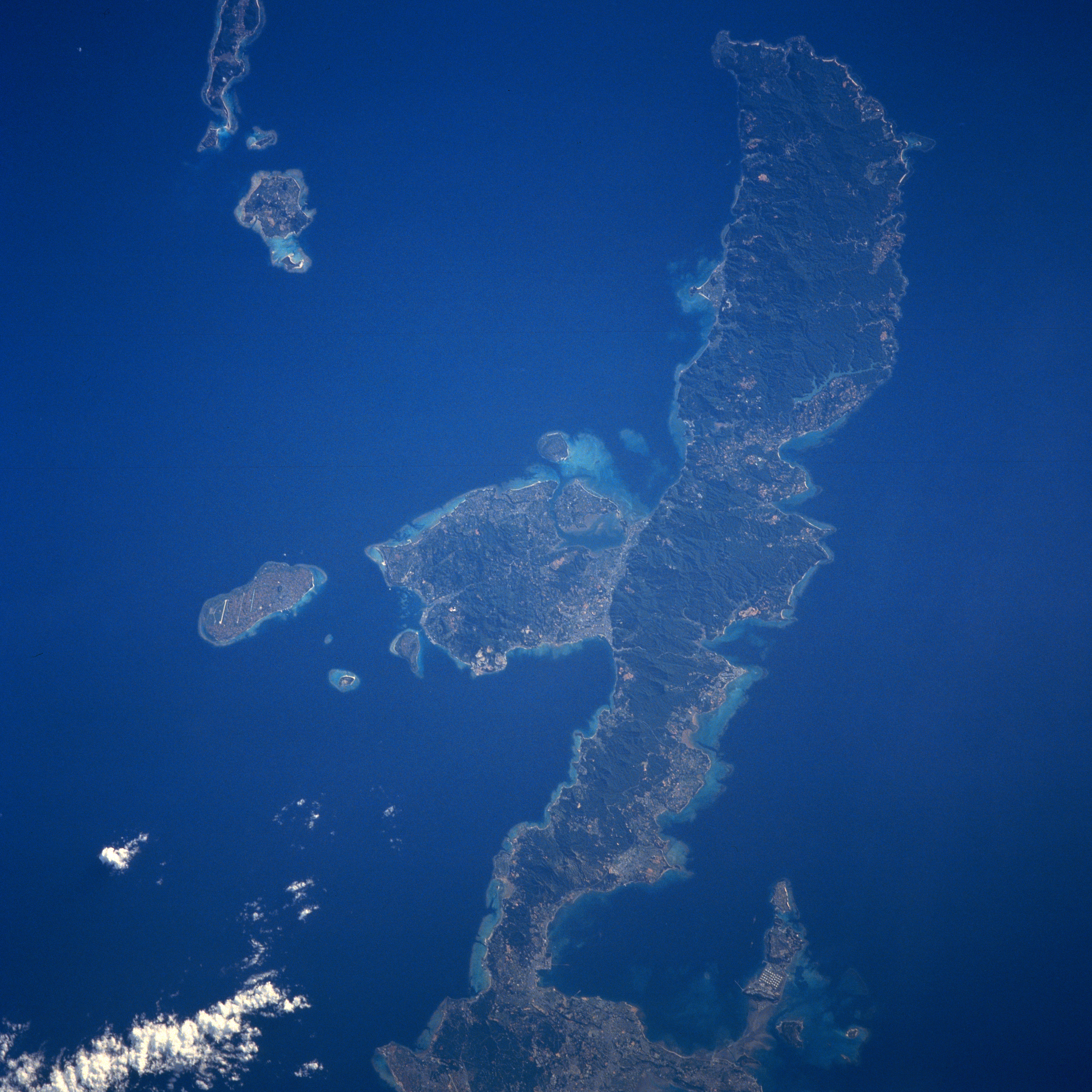
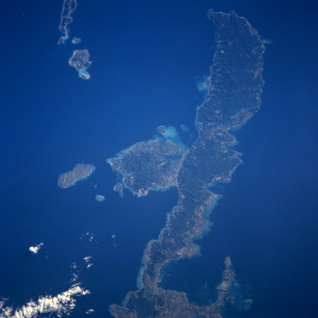
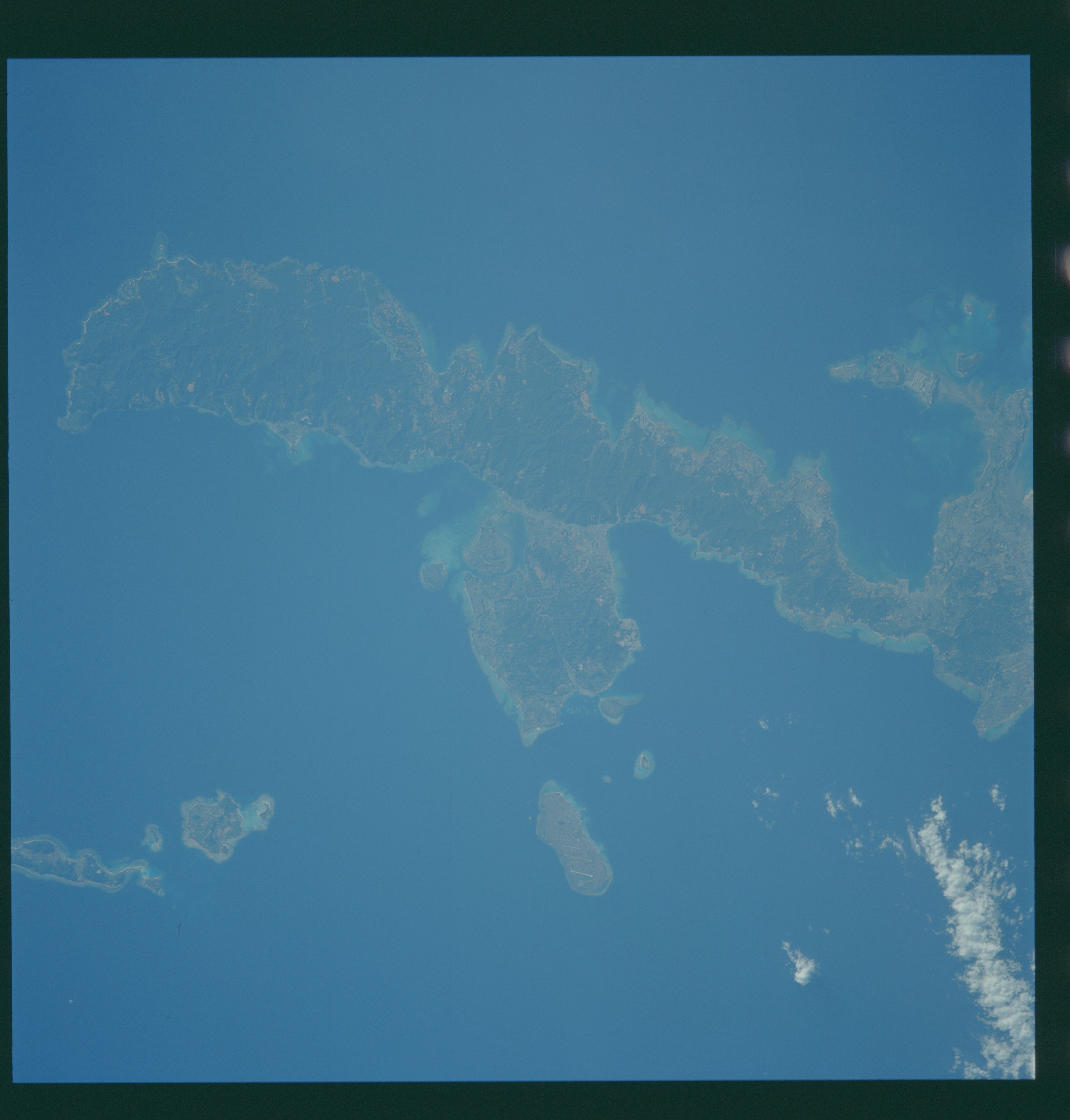
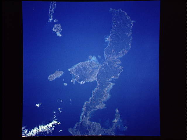
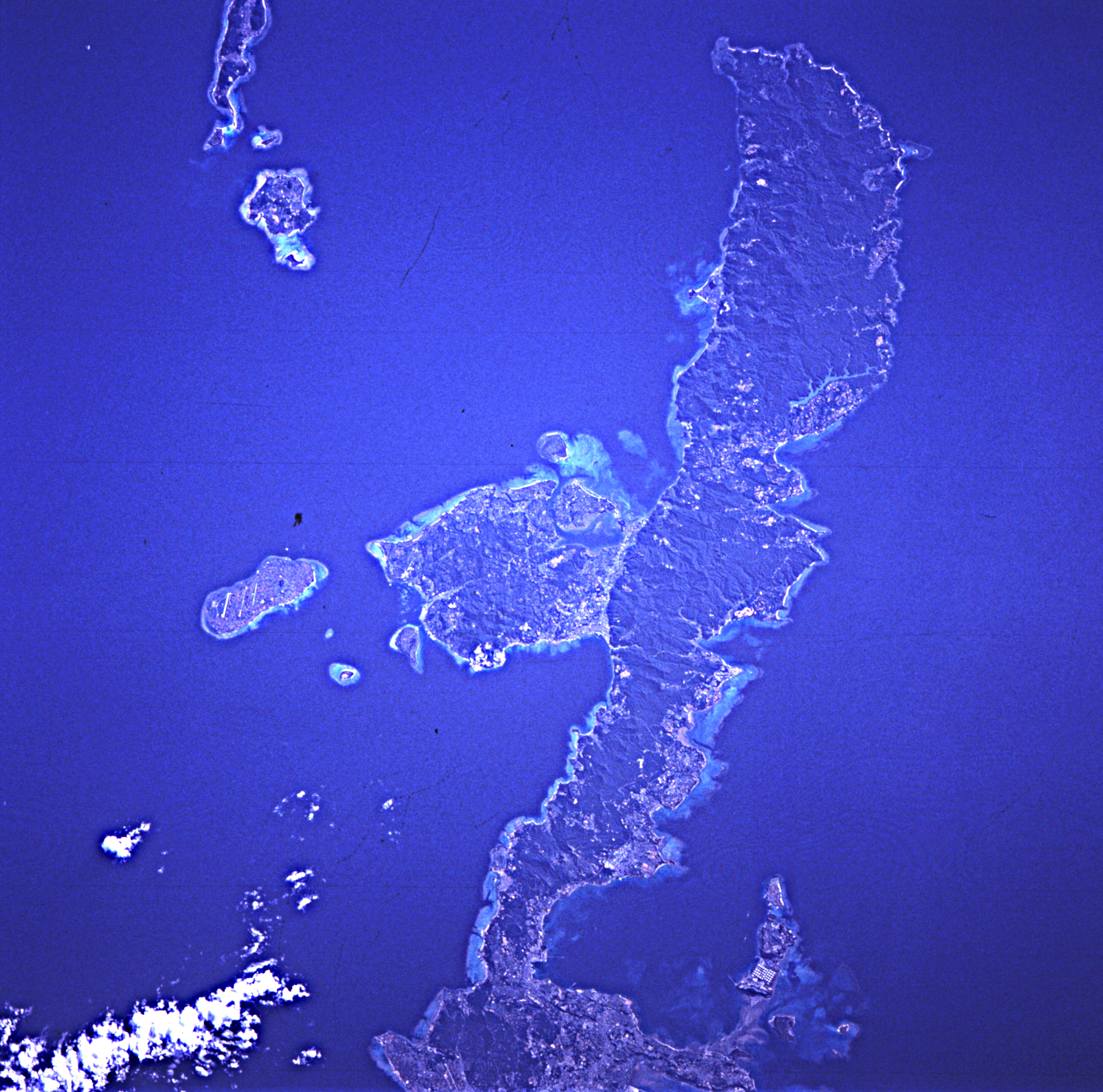
Image Caption: STS043-608-046 Northern Okinawa Island, Ryukyu Islands August 1991
Okinawa is the largest island of the chain of islands called the Ryukyu that are located in the tropical north Pacific Ocean between mainland Japan and the island of Taiwan. In this northeast-looking view, the northern two-thirds of the island of Okinawa is visible. Okinawa is a long, narrow, irregular shaped island of volcanic origins with coral formations extending around most of its coastline. As seen in this view, the northern portion of the island is mountainous rising to 1657 feet (505 meters), and has a dense vegetation cover. Sugarcane, sweet potatoes, and rice are grown mostly in the southern portions and along the narrow coastal plains in the north. Fishing and tourism are also important island industries. Okinawa is prone to Pacific Ocean tropical storms and typhoons, which can cause extensive damage to the infrastructure of the island.
Okinawa is the largest island of the chain of islands called the Ryukyu that are located in the tropical north Pacific Ocean between mainland Japan and the island of Taiwan. In this northeast-looking view, the northern two-thirds of the island of Okinawa is visible. Okinawa is a long, narrow, irregular shaped island of volcanic origins with coral formations extending around most of its coastline. As seen in this view, the northern portion of the island is mountainous rising to 1657 feet (505 meters), and has a dense vegetation cover. Sugarcane, sweet potatoes, and rice are grown mostly in the southern portions and along the narrow coastal plains in the north. Fishing and tourism are also important island industries. Okinawa is prone to Pacific Ocean tropical storms and typhoons, which can cause extensive damage to the infrastructure of the island.
