STS043-605-68
| NASA Photo ID | STS043-605-68 |
| Focal Length | 250mm |
| Date taken | 1991.08.__ |
| Time taken | GMT |

Cloud masks available for this image:
Spacecraft nadir point:
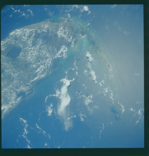
Photo center point: 25.0° N, 82.0° W
Photo center point by machine learning:
Photo center point: 25.0° N, 82.0° W
Photo center point by machine learning:
Nadir to Photo Center:
Spacecraft Altitude: nautical miles (0km)
Country or Geographic Name: | USA-FLORIDA |
Features: | FLORIDA KEYS, EVERGLADES |
| Features Found Using Machine Learning: | |
Cloud Cover Percentage: | 45 (26-50)% |
Sun Elevation Angle: | ° |
Sun Azimuth: | ° |
Camera: | Rolleiflex |
Focal Length: | 250mm |
Camera Tilt: | Low Oblique |
Format: | 5017: Kodak, natural color positive, Ektachrome, X Professional, ASA 64, standard base |
Film Exposure: | Normal |
| Additional Information | |
| Width | Height | Annotated | Cropped | Purpose | Links |
|---|---|---|---|---|---|
| 4396 pixels | 4600 pixels | No | No | Download Image | |
| 500 pixels | 523 pixels | No | No | Download Image | |
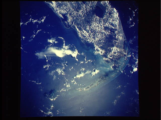
| 640 pixels | 480 pixels | No | No | Download Image |
Download Packaged File
Download a Google Earth KML for this Image
View photo footprint information
Download a GeoTIFF for this photo
Image Caption: Though much of southern Florida is covered by clouds, the Florida Everglades and Keys (25.0N, 82.0W) remain relatively clear in this nearly vertical view. The view covers the Gulf of Mexico port city of Ft. Myers, and Lake Okeechobee, at the top of the scene, in the north, The Everglades, in the center and the entire Florida Key Chain at the bottom. Even with the many popcorn clouds, ground detail and the city of Miami is easily discerned.
