STS042-92-67
| NASA Photo ID | STS042-92-67 |
| Focal Length | 250mm |
| Date taken | 1992.01.24 |
| Time taken | 04:39:10 GMT |
Cloud masks available for this image:
Spacecraft nadir point: 27.4° N, 64.1° E
Photo center point: 23.5° N, 68.5° E
Photo center point by machine learning:
Photo center point: 23.5° N, 68.5° E
Photo center point by machine learning:
Nadir to Photo Center: Southeast
Spacecraft Altitude: 164 nautical miles (304km)
Country or Geographic Name: | INDIA |
Features: | INDUS RIVER DELTA AREA |
| Features Found Using Machine Learning: | |
Cloud Cover Percentage: | 10 (1-10)% |
Sun Elevation Angle: | 23° |
Sun Azimuth: | 129° |
Camera: | Hasselblad |
Focal Length: | 250mm |
Camera Tilt: | High Oblique |
Format: | 2443: Kodak Aerochrome 2443, color IR, thin base, EA-5 process thru June 1999, E-6 process afterward |
Film Exposure: | Normal |
| Additional Information | |
| Width | Height | Annotated | Cropped | Purpose | Links |
|---|---|---|---|---|---|
| 5700 pixels | 6000 pixels | No | No | Download Image | |
| 500 pixels | 526 pixels | No | No | Download Image | |
| 640 pixels | 480 pixels | No | No | Download Image |
Download Packaged File
Download a Google Earth KML for this Image
View photo footprint information
Download a GeoTIFF for this photo
Image Caption:
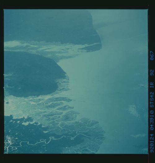
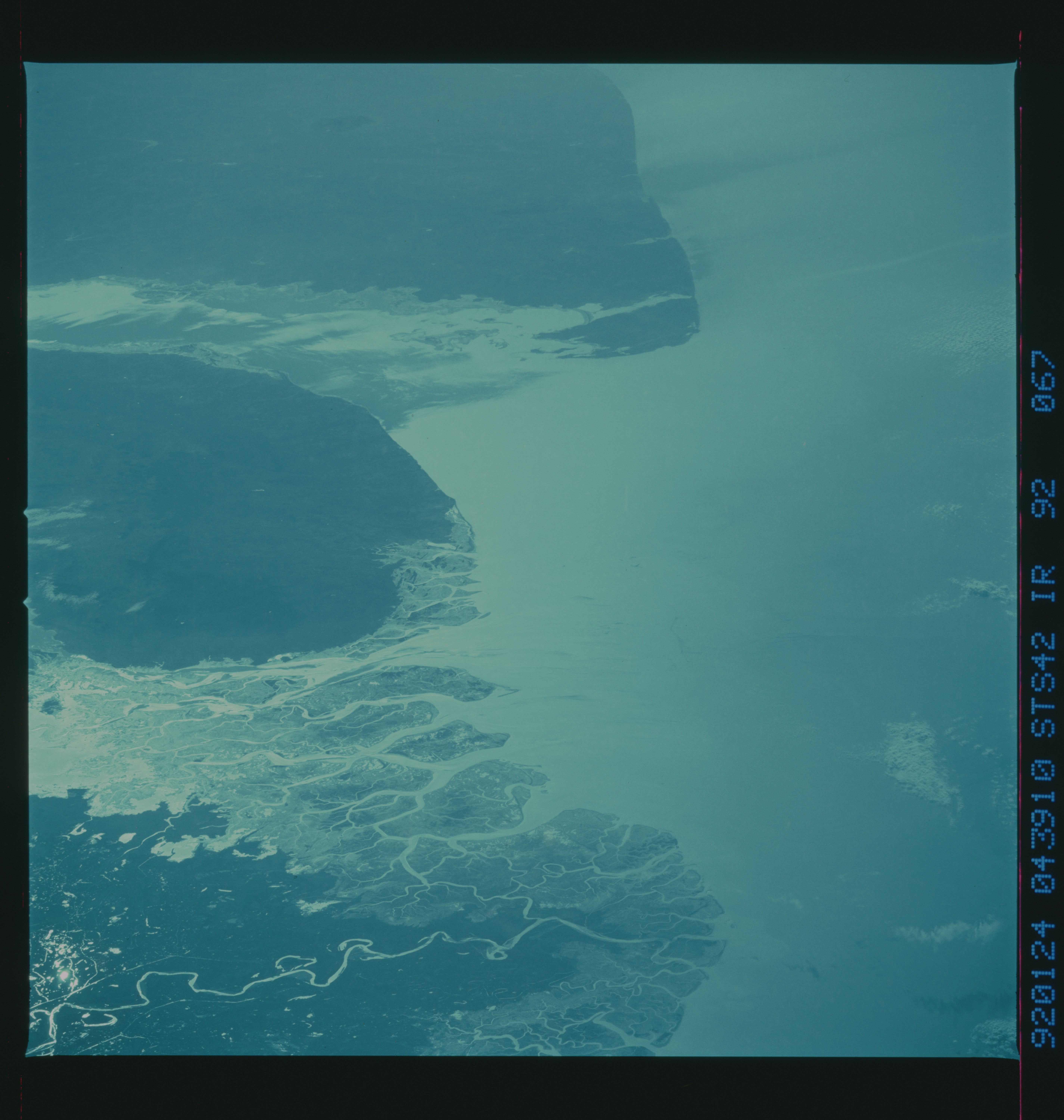
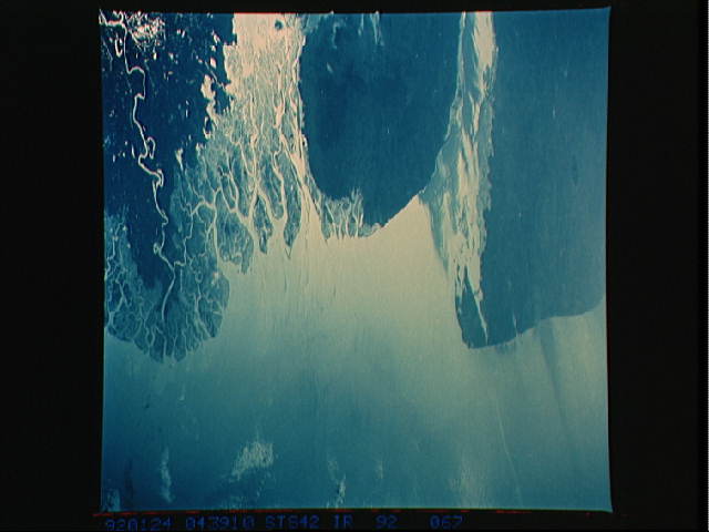
STS042-92-067 (CIR) Indus River Delta (24.0! N, 68.0! E)
This oblique photograph of sunglint in the Indus River
Delta was taken at the same time as STS042-81-002 using an ident-
ical camera/lens combination, but with color infrared film.
While the enhancement of drainage features is identical in the
two photos, the infrared photo has significantly decreased atmos-
pheric haze, allowing for better definition of Earth and water
features. Changes in land cover are more evident in the infrared
photograph than in the natural color version.
STS042-92-067 (CIR) This east-looking view of the Rann of Kutch
shows the coastline in sunglint and reveals enormous detail of
past coastlines and of the delta of the Indus River, which forms
the border between India and Pakistan.
