STS041-89-92

| NASA Photo ID | STS041-89-92 |
| Focal Length | 250mm |
| Date taken | 1990.10.09 |
| Time taken | 13:59:45 GMT |
Cloud masks available for this image:
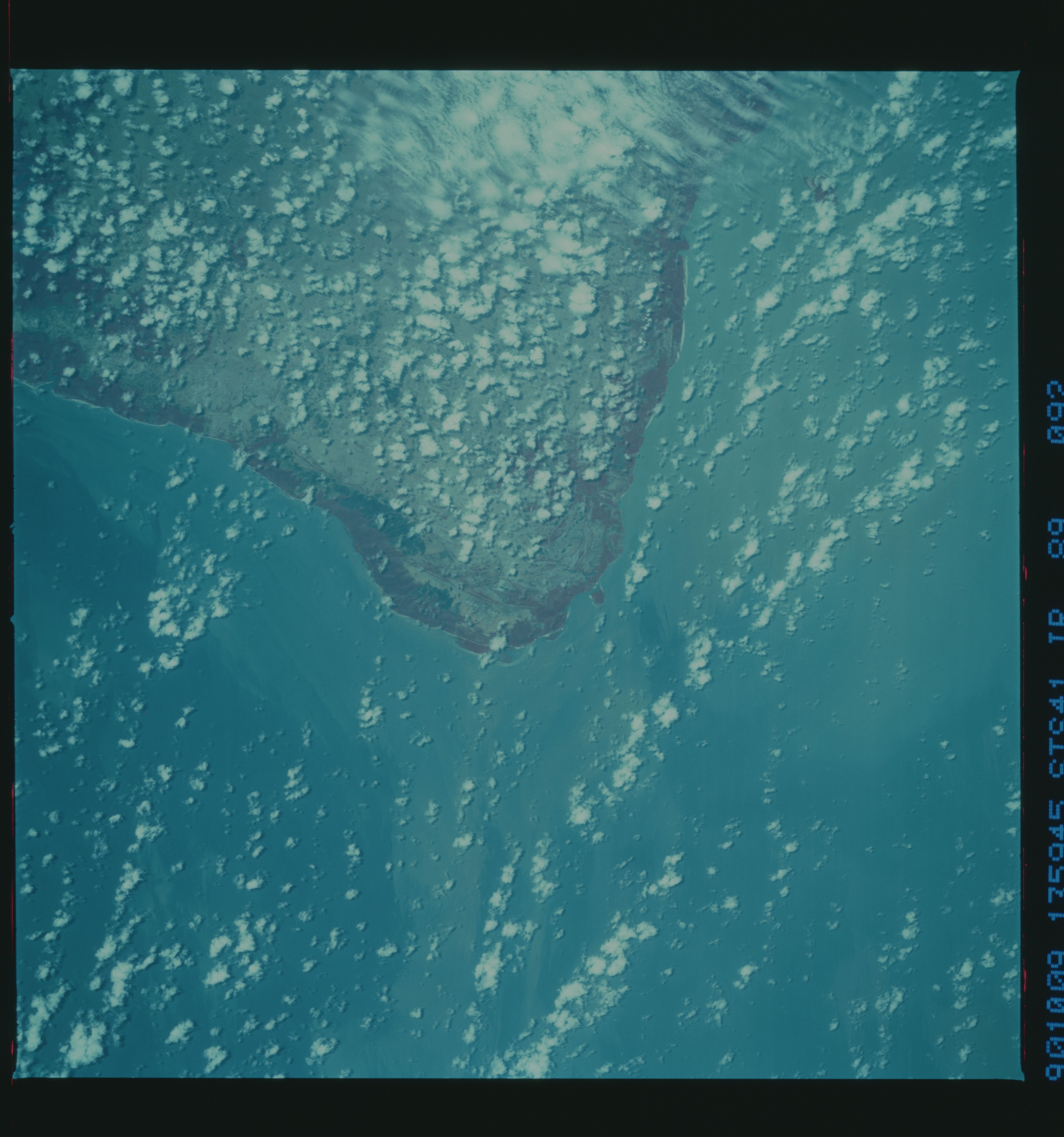
Spacecraft nadir point: 0.1° N, 47.5° W
Photo center point: 0.5° S, 48.5° W
Photo center point by machine learning:
Photo center point: 0.5° S, 48.5° W
Photo center point by machine learning:
Nadir to Photo Center: Southwest
Spacecraft Altitude: 161 nautical miles (298km)
Country or Geographic Name: | BRAZIL |
Features: | ILHA DE MARAJO |
| Features Found Using Machine Learning: | |
Cloud Cover Percentage: | 40 (26-50)% |
Sun Elevation Angle: | 74° |
Sun Azimuth: | 114° |
Camera: | Hasselblad |
Focal Length: | 250mm |
Camera Tilt: | 23 degrees |
Format: | 2443: Kodak Aerochrome 2443, color IR, thin base, EA-5 process thru June 1999, E-6 process afterward |
Film Exposure: | Normal |
| Additional Information | |
| Width | Height | Annotated | Cropped | Purpose | Links |
|---|---|---|---|---|---|
| 5614 pixels | 6000 pixels | No | No | Download Image | |
| 500 pixels | 534 pixels | No | No | Download Image |
Download Packaged File
Download a Google Earth KML for this Image
View photo footprint information
Download a GeoTIFF for this photo
Image Caption: none
