STS041-83-89
| NASA Photo ID | STS041-83-89 |
| Focal Length | 50mm |
| Date taken | 1990.10.10 |
| Time taken | 06:25:16 GMT |
Cloud masks available for this image:
Spacecraft nadir point: 11.9° N, 37.5° E
Photo center point: 11.5° N, 38.0° E
Photo center point by machine learning:
Photo center point: 11.5° N, 38.0° E
Photo center point by machine learning:
Nadir to Photo Center: Southeast
Spacecraft Altitude: 162 nautical miles (300km)
Country or Geographic Name: | ETHIOPIA |
Features: | LAKE TANA |
| Features Found Using Machine Learning: | |
Cloud Cover Percentage: | 5 (1-10)% |
Sun Elevation Angle: | 43° |
Sun Azimuth: | 111° |
Camera: | Hasselblad |
Focal Length: | 50mm |
Camera Tilt: | 13 degrees |
Format: | 5017: Kodak, natural color positive, Ektachrome, X Professional, ASA 64, standard base |
Film Exposure: | Normal |
| Additional Information | |
| Width | Height | Annotated | Cropped | Purpose | Links |
|---|---|---|---|---|---|
| 5614 pixels | 6000 pixels | No | No | Download Image | |
| 500 pixels | 534 pixels | No | No | Download Image | |
| 640 pixels | 480 pixels | No | No | Download Image |
Download Packaged File
Download a Google Earth KML for this Image
View photo footprint information
Download a GeoTIFF for this photo
Image Caption:
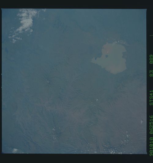
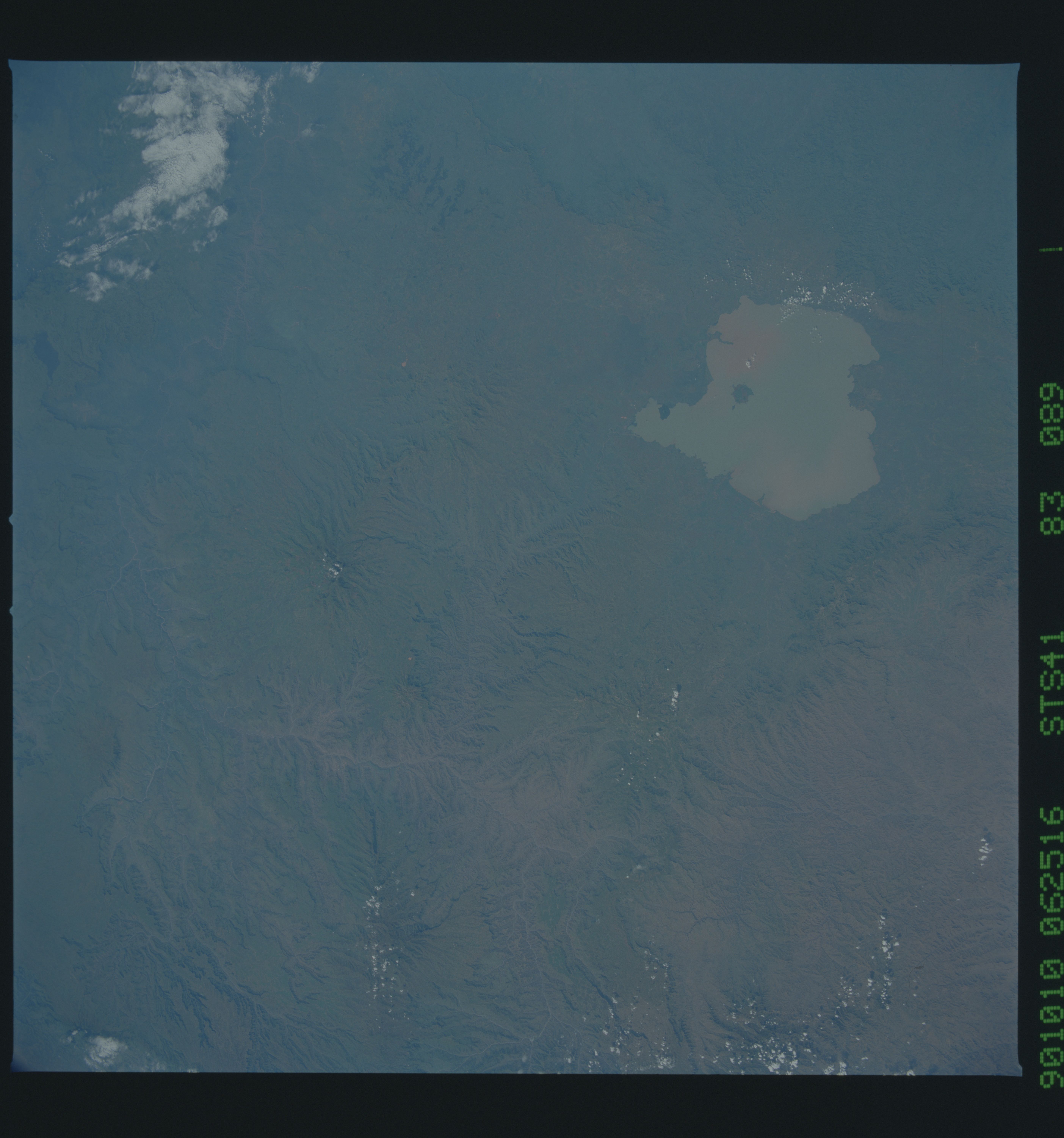
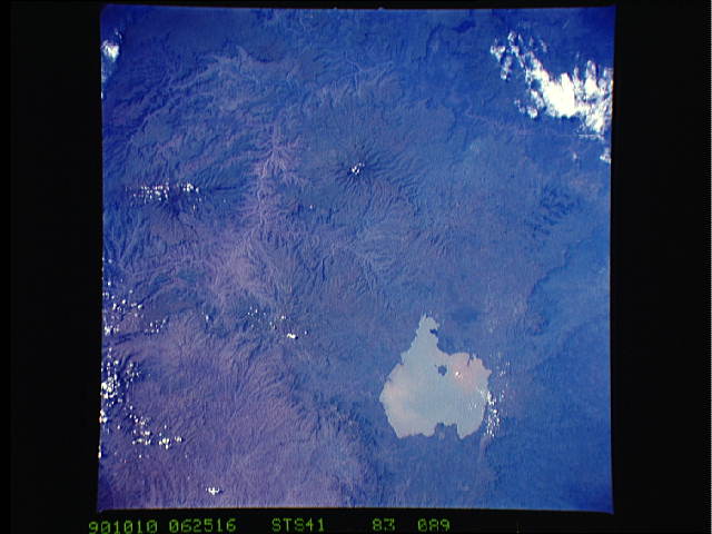
Ethiopian Plateau, Lake Tana T33
Lake Tana, the source of the Blue Nile River (1) and the north
central portion of the Ethiopian Plateau are visible in these
near-vertical views taken in October 1990. Lake Tana, which cov-
ers an area of 3,625 sq. km and is 1,829 meters above sea level,
is thought to be a large caldera of a once massive volcano.
Three other volcanic mountains are visible in this view: Guna
(2), Amba Farit (3), and Birhan (4). The canyon of the Blue Nile
(1) is visible as the river makes it way south and east toward
Sudan and the city of Khartoum. (S41-83-088, 089)
