STS041-83-87
| NASA Photo ID | STS041-83-87 |
| Focal Length | 50mm |
| Date taken | 1990.10.10 |
| Time taken | 06:25:08 GMT |
Resolutions offered for this image:
5203 x 5203 pixels 639 x 639 pixels 5614 x 6000 pixels 500 x 534 pixels 640 x 480 pixels
5203 x 5203 pixels 639 x 639 pixels 5614 x 6000 pixels 500 x 534 pixels 640 x 480 pixels

Cloud masks available for this image:
Spacecraft nadir point: 12.2° N, 37.0° E
Photo center point: 12.0° N, 37.0° E
Photo center point by machine learning:
Photo center point: 12.0° N, 37.0° E
Photo center point by machine learning:
Nadir to Photo Center: South
Spacecraft Altitude: 162 nautical miles (300km)
Country or Geographic Name: | ETHIOPIA |
Features: | LAKE TANA |
| Features Found Using Machine Learning: | |
Cloud Cover Percentage: | 5 (1-10)% |
Sun Elevation Angle: | 42° |
Sun Azimuth: | 111° |
Camera: | Hasselblad |
Focal Length: | 50mm |
Camera Tilt: | 4 degrees |
Format: | 5017: Kodak, natural color positive, Ektachrome, X Professional, ASA 64, standard base |
Film Exposure: | Normal |
| Additional Information | |
| Width | Height | Annotated | Cropped | Purpose | Links |
|---|---|---|---|---|---|
| 5203 pixels | 5203 pixels | No | No | Earth From Space collection | Download Image |
| 639 pixels | 639 pixels | No | No | Earth From Space collection | Download Image |
| 5614 pixels | 6000 pixels | No | No | Download Image | |
| 500 pixels | 534 pixels | No | No | Download Image | |
| 640 pixels | 480 pixels | No | No | Download Image |
Download Packaged File
Download a Google Earth KML for this Image
View photo footprint information
Download a GeoTIFF for this photo
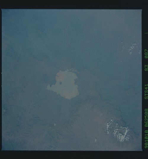
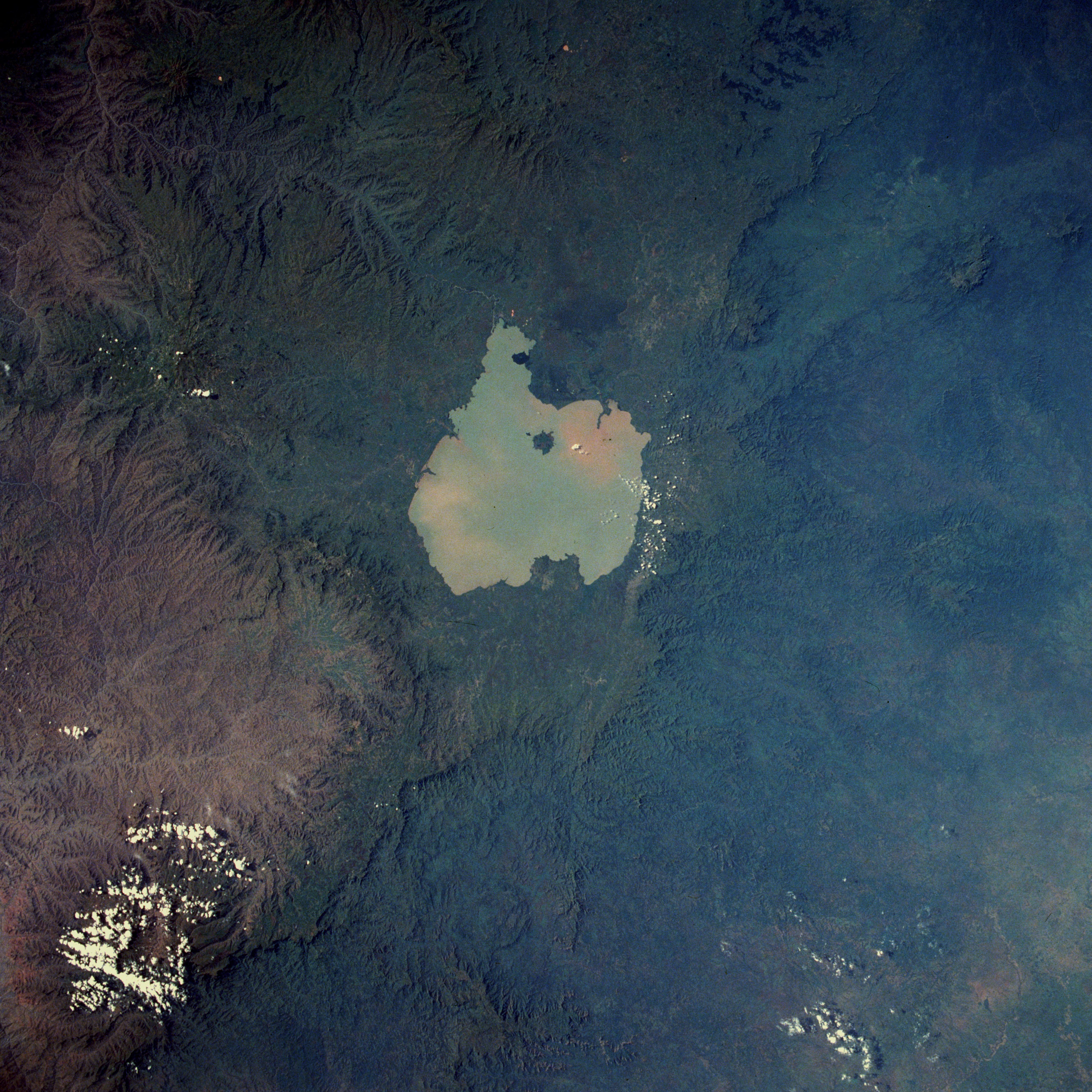
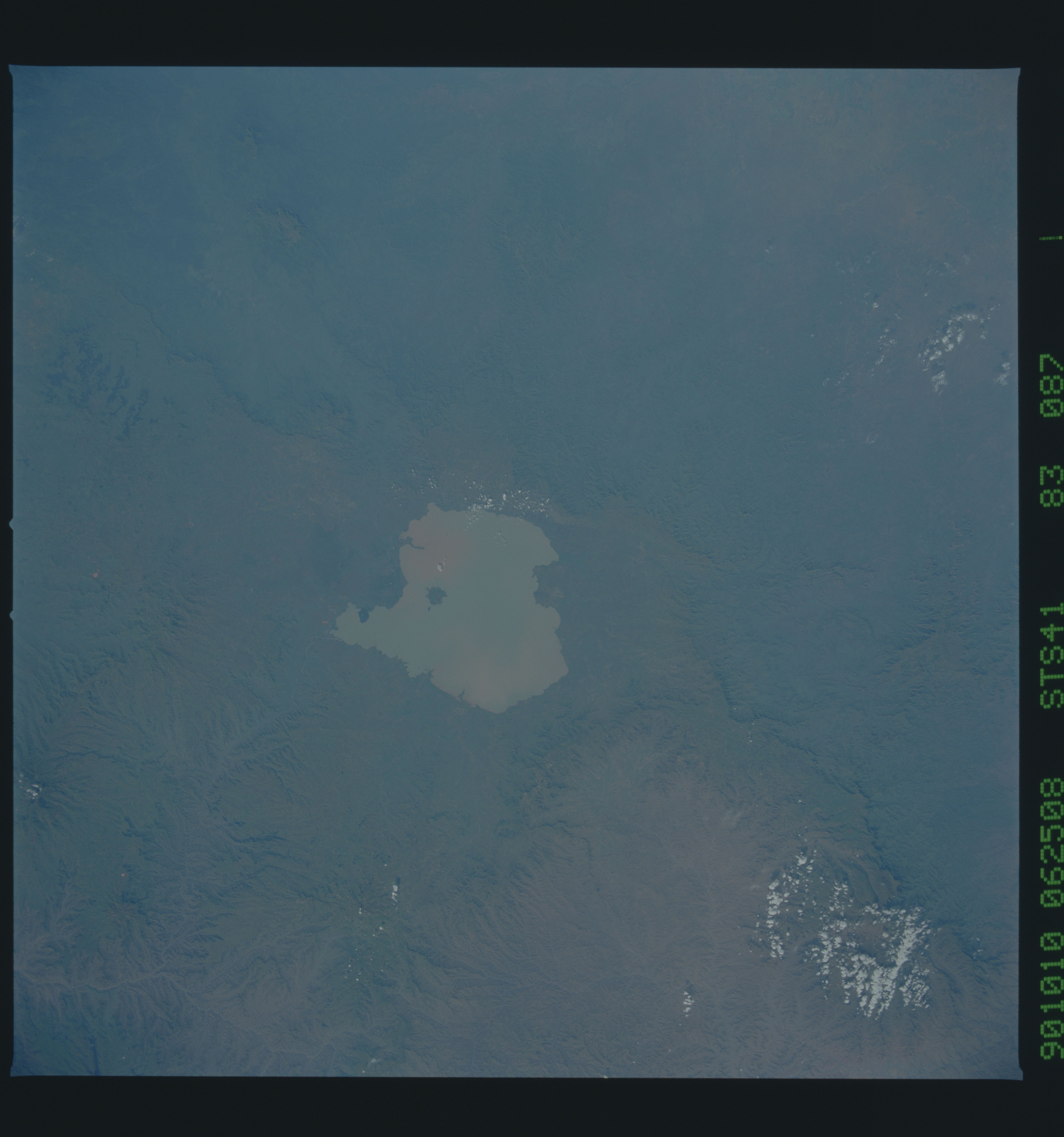
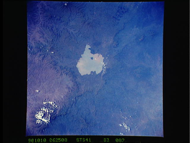
Image Caption: STS041-083-087 Lake Tana, Ethiopia October 1990
Sediment-filled Lake Tana, the largest lake in Ethiopia, is visible in this near-vertical photograph. Located near the center of the high Ethiopian Plateau, Lake Tana covers 1400 square miles (3625 square kilometers). The lake is 47 miles (76 kilometers) long, 44 miles (71 kilometers) wide, and sits at an elevation of 6000 feet (1830 meters) above sea level. One of the many small streams feeding the lake is believed to be the source of the Blue Nile River. Lake Tana drains into the Blue Nile, which shortly thereafter plunges over the high Tisisat Falls (not visible in the photograph) south of the lake and turns southeast into a deep, rugged canyon. Visible are portions of the Choke Mountains south of the lake; the rugged Amhara Plateau west of the lake; and the islands of Dega and Dek, sites of historic monasteries, in the south-central portion of the lake.
Sediment-filled Lake Tana, the largest lake in Ethiopia, is visible in this near-vertical photograph. Located near the center of the high Ethiopian Plateau, Lake Tana covers 1400 square miles (3625 square kilometers). The lake is 47 miles (76 kilometers) long, 44 miles (71 kilometers) wide, and sits at an elevation of 6000 feet (1830 meters) above sea level. One of the many small streams feeding the lake is believed to be the source of the Blue Nile River. Lake Tana drains into the Blue Nile, which shortly thereafter plunges over the high Tisisat Falls (not visible in the photograph) south of the lake and turns southeast into a deep, rugged canyon. Visible are portions of the Choke Mountains south of the lake; the rugged Amhara Plateau west of the lake; and the islands of Dega and Dek, sites of historic monasteries, in the south-central portion of the lake.
