STS041-83-60
| NASA Photo ID | STS041-83-60 |
| Focal Length | 50mm |
| Date taken | 1990.10.09 |
| Time taken | 20:22:21 GMT |
Cloud masks available for this image:
Spacecraft nadir point: 28.5° S, 58.3° W
Photo center point: 28.0° S, 59.0° W
Photo center point by machine learning:
Photo center point: 28.0° S, 59.0° W
Photo center point by machine learning:
Nadir to Photo Center: Northwest
Spacecraft Altitude: 158 nautical miles (293km)
Country or Geographic Name: | ARGENTINA |
Features: | RIO PARANA, FIRES, SMOKE |
| Features Found Using Machine Learning: | |
Cloud Cover Percentage: | 10 (1-10)% |
Sun Elevation Angle: | 20° |
Sun Azimuth: | 273° |
Camera: | Hasselblad |
Focal Length: | 50mm |
Camera Tilt: | 18 degrees |
Format: | 5017: Kodak, natural color positive, Ektachrome, X Professional, ASA 64, standard base |
Film Exposure: | Normal |
| Additional Information | |
| Width | Height | Annotated | Cropped | Purpose | Links |
|---|---|---|---|---|---|
| 5614 pixels | 6000 pixels | No | No | Download Image | |
| 500 pixels | 534 pixels | No | No | Download Image | |
| 640 pixels | 480 pixels | No | No | Download Image |
Download Packaged File
Download a Google Earth KML for this Image
View photo footprint information
Download a GeoTIFF for this photo
Image Caption:
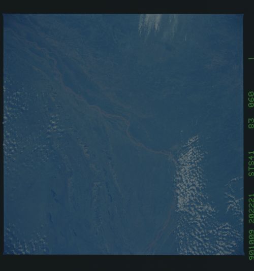
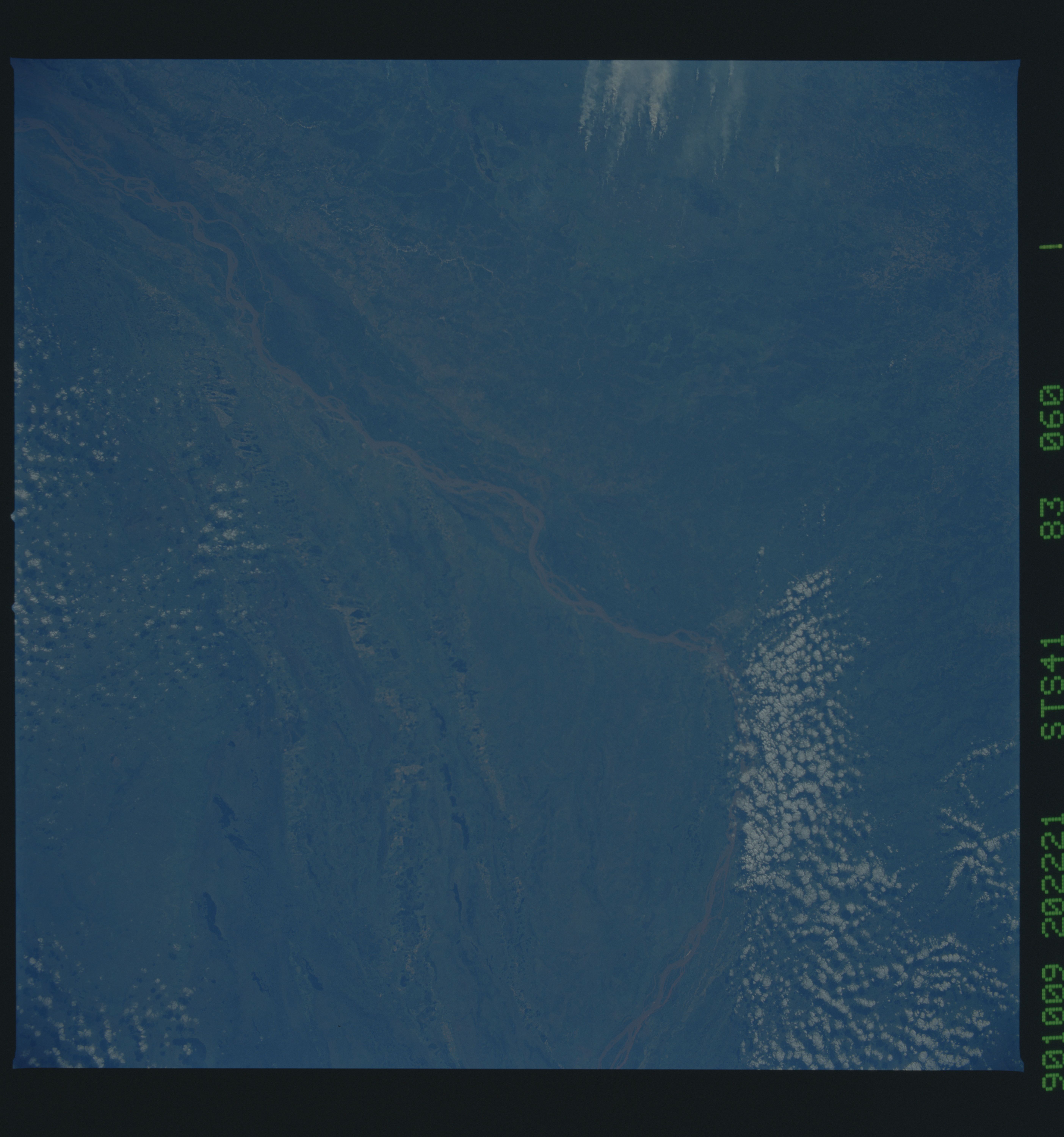
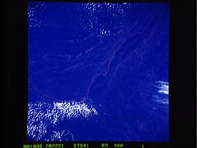
Paran River Basin
These color photographs collected in a near-vertical look angle
using a 250 mm lens shows part of the large floodplain. Large
islands are scattered within the river system at this point near
the city of Posadas just off the center right of the scene. The
brownish, silty appearance of the Rio Paran is visible. New
highway and bridge construction activities can be seen along the
north side of the river. (S41-83-059, 060, & 062)
