STS041-76-10
| NASA Photo ID | STS041-76-10 |
| Focal Length | 250mm |
| Date taken | 1990.10.07 |
| Time taken | 09:19:06 GMT |
Cloud masks available for this image:
Spacecraft nadir point: 6.5° N, 29.2° E
Photo center point: 7.0° N, 31.5° E
Photo center point by machine learning:
Photo center point: 7.0° N, 31.5° E
Photo center point by machine learning:
Nadir to Photo Center: East
Spacecraft Altitude: 161 nautical miles (298km)
Country or Geographic Name: | SUDAN |
Features: | CANAL |
| Features Found Using Machine Learning: | |
Cloud Cover Percentage: | 5 (1-10)% |
Sun Elevation Angle: | 75° |
Sun Azimuth: | 146° |
Camera: | Hasselblad |
Focal Length: | 250mm |
Camera Tilt: | 41 degrees |
Format: | 5017: Kodak, natural color positive, Ektachrome, X Professional, ASA 64, standard base |
Film Exposure: | Normal |
| Additional Information | |
| Width | Height | Annotated | Cropped | Purpose | Links |
|---|---|---|---|---|---|
| 5700 pixels | 5900 pixels | No | No | Download Image | |
| 500 pixels | 518 pixels | No | No | Download Image | |
| 640 pixels | 480 pixels | No | No | Download Image |
Download Packaged File
Download a Google Earth KML for this Image
View photo footprint information
Download a GeoTIFF for this photo
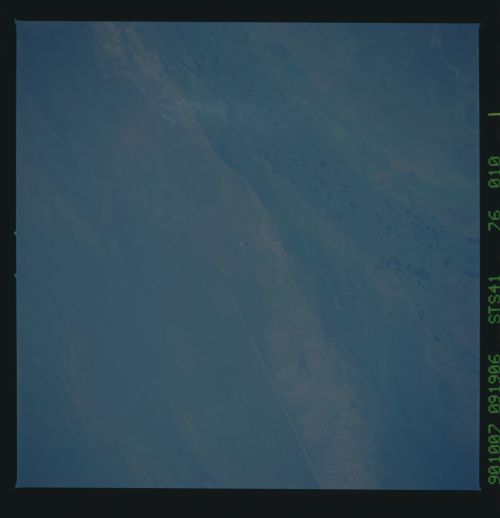
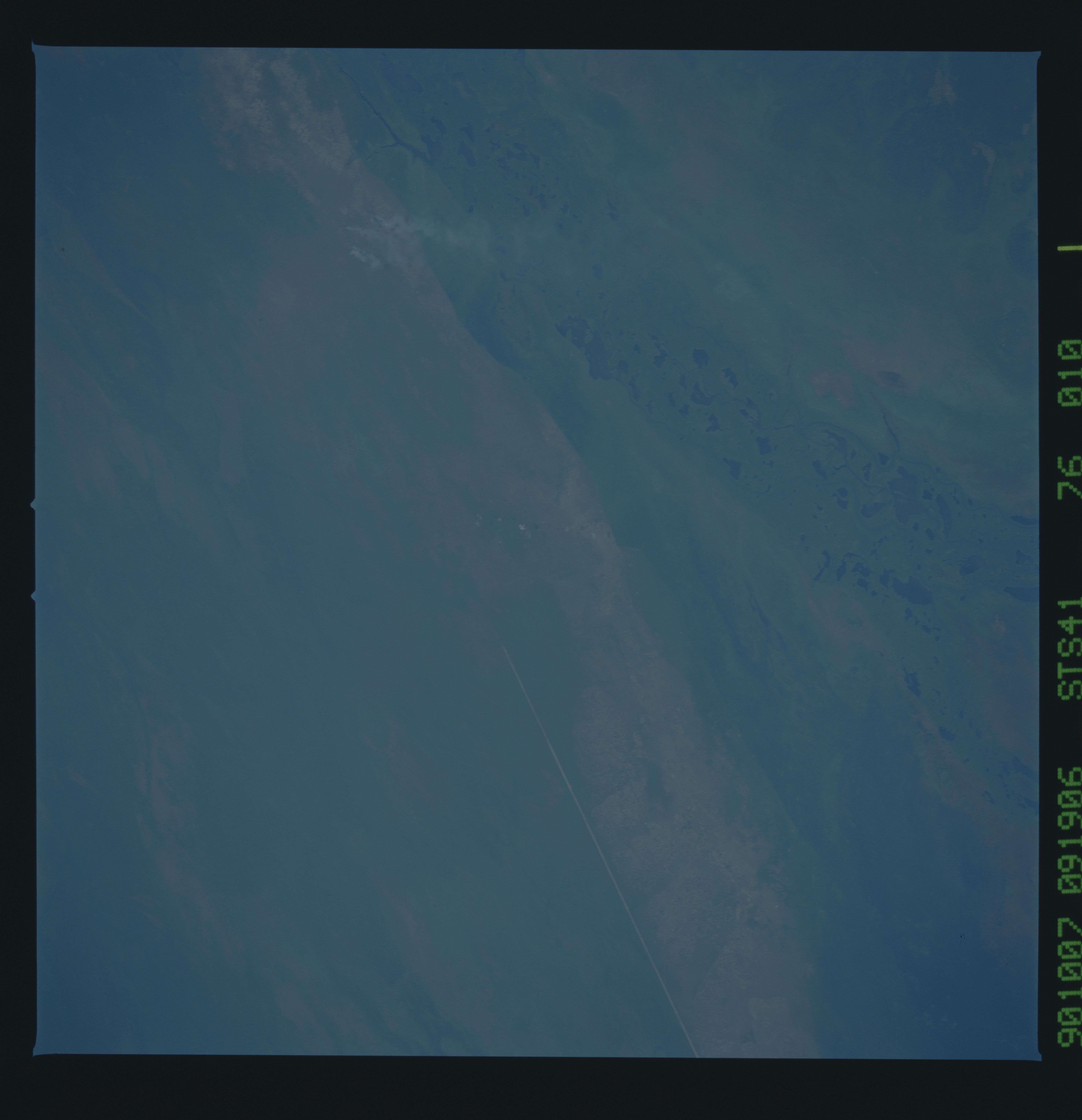
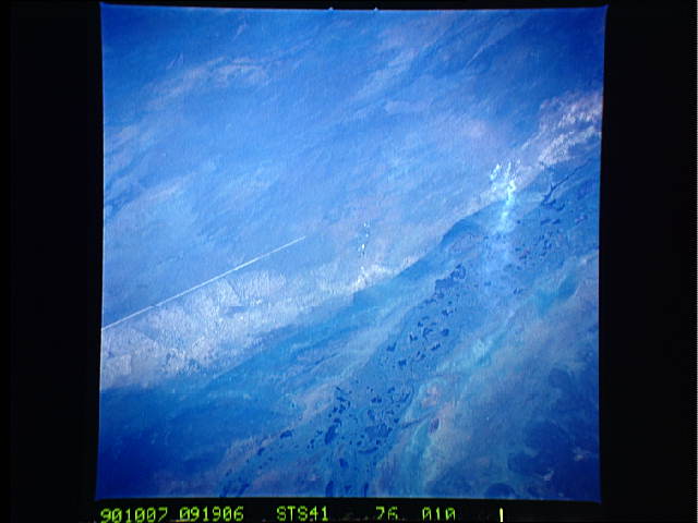
Image Caption: The Sudd Swamp Canal T28
This unique low oblique view, taken in October 1990, shows where
construction of the canal in the Sudd has been halted and where,
when completed, it would connect with the White Nile. The main
floodplain of the White Nile, with its numerous lakes and
meandering channels can be seen at the center right to the bottom
center of the photograph. Completed construction of the canal
has yet to be determined. Civil wars are presently raging
throughout most of the country of Sudan, which is one of the rea-
sons construction was halted. Fires (1) burning some of grassland
(savanah) regions are also visible. (S41-76-010)
