STS040-80-20

| NASA Photo ID | STS040-80-20 |
| Focal Length | 250mm |
| Date taken | 1991.06.10 |
| Time taken | 16:52:33 GMT |
Resolutions offered for this image:
5300 x 5194 pixels 640 x 627 pixels 5700 x 6000 pixels 500 x 526 pixels 640 x 480 pixels 3387 x 3336 pixels
5300 x 5194 pixels 640 x 627 pixels 5700 x 6000 pixels 500 x 526 pixels 640 x 480 pixels 3387 x 3336 pixels

Cloud masks available for this image:
Spacecraft nadir point: 38.7° N, 112.2° W
Photo center point: 38.5° N, 112.5° W
Photo center point by machine learning:
Photo center point: 38.5° N, 112.5° W
Photo center point by machine learning:
Nadir to Photo Center: Southwest
Spacecraft Altitude: 153 nautical miles (283km)
Country or Geographic Name: | USA-UTAH |
Features: | AREA AROUND BEAVER |
| Features Found Using Machine Learning: | |
Cloud Cover Percentage: | 0 (no clouds present) |
Sun Elevation Angle: | 53° |
Sun Azimuth: | 103° |
Camera: | Hasselblad |
Focal Length: | 250mm |
Camera Tilt: | 8 degrees |
Format: | 5017: Kodak, natural color positive, Ektachrome, X Professional, ASA 64, standard base |
Film Exposure: | Normal |
| Additional Information | |
| Width | Height | Annotated | Cropped | Purpose | Links |
|---|---|---|---|---|---|
| 5300 pixels | 5194 pixels | No | No | Earth From Space collection | Download Image |
| 640 pixels | 627 pixels | No | No | Earth From Space collection | Download Image |
| 5700 pixels | 6000 pixels | No | No | Download Image | |
| 500 pixels | 526 pixels | No | No | Download Image | |
| 640 pixels | 480 pixels | No | No | Download Image | |
| 3387 pixels | 3336 pixels | Download Image |
Download Packaged File
Download a Google Earth KML for this Image
View photo footprint information
Download a GeoTIFF for this photo
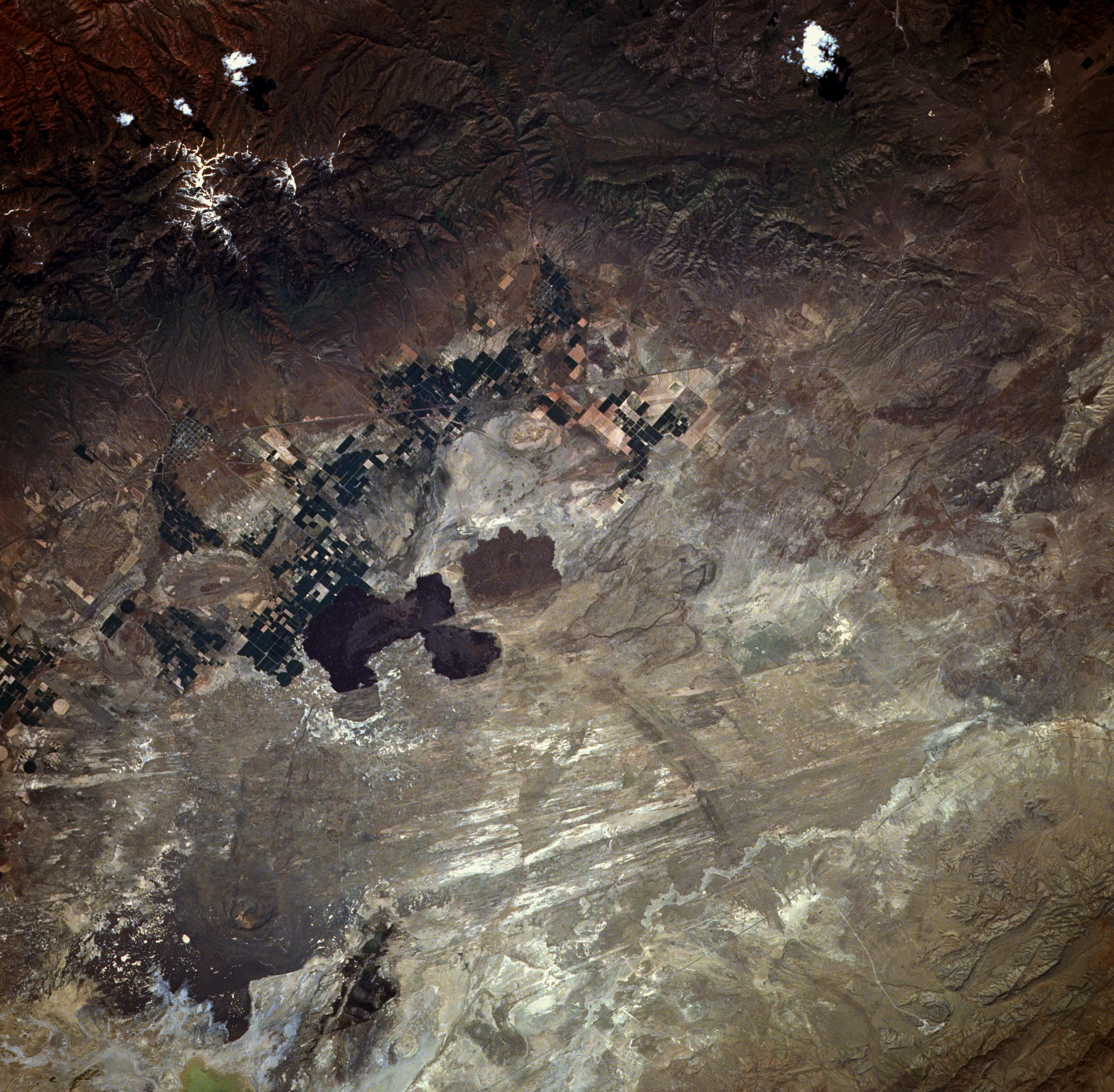
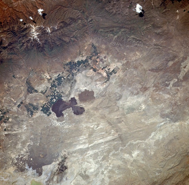
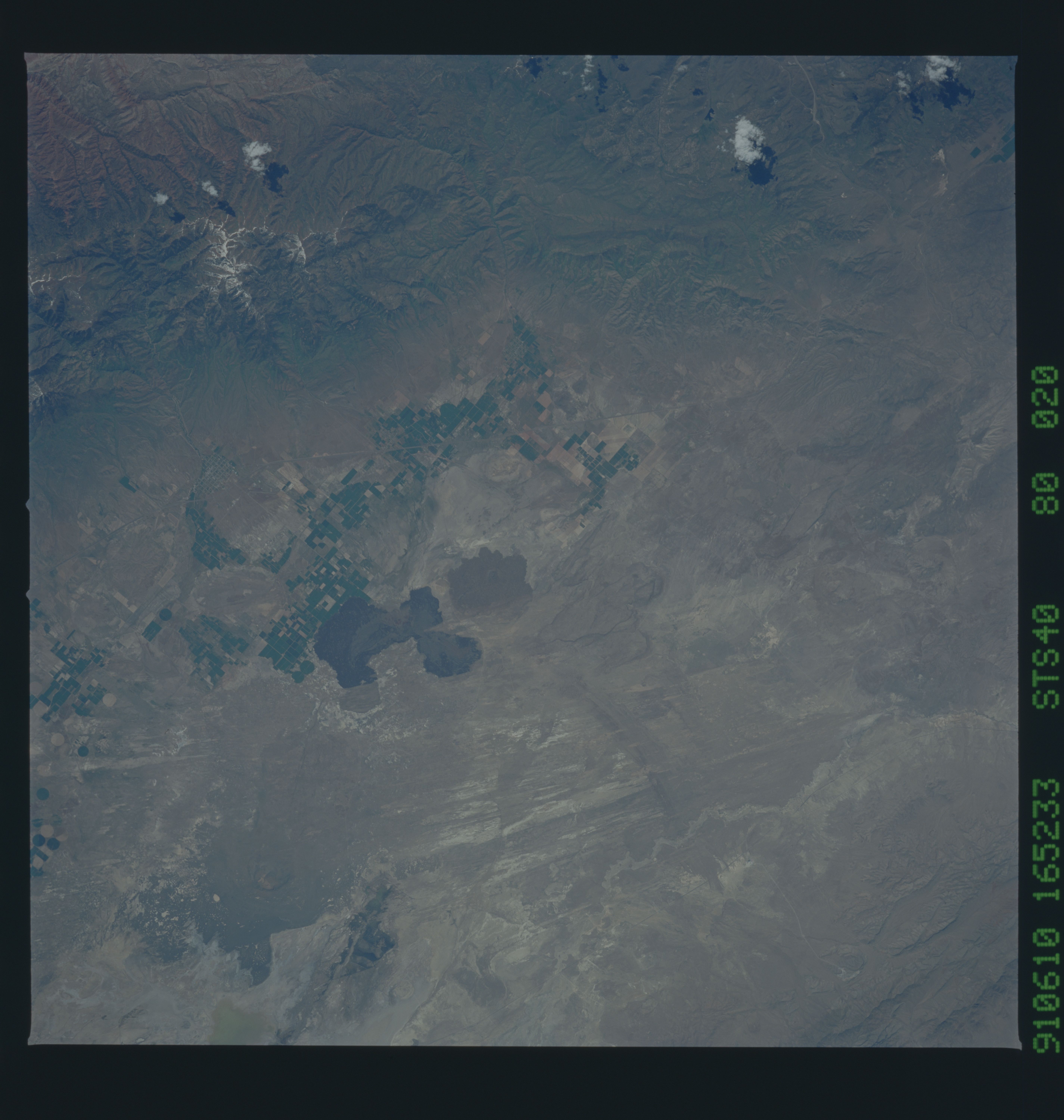
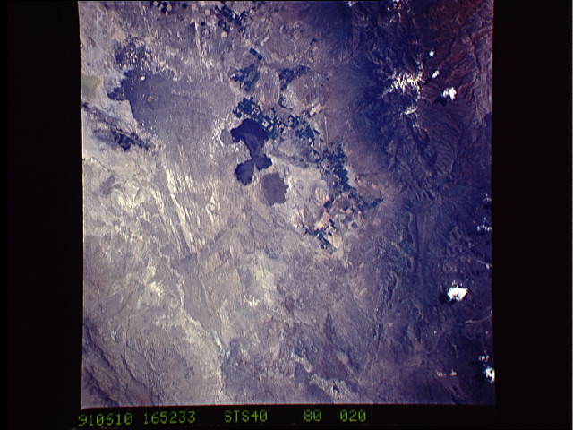
Image Caption: STS040-080-020 Fillmore, Utah, U.S.A. June 1991
The small rural town of Fillmore, Utah (estimated population of 1500), can be identified by the grid street pattern near the northern edge of the photograph. The snowcapped Pavant Mountains (also part of Fish Lake National Forest) are east of Fillmore where Jack's Peak reaches a maximum elevation of just over 10 000 feet (3070 meters) above sea level. Immediately west of Fillmore is the Black Desert, apparently named for the dark lava flows that cover it. Although the area receives an average of less than 10 inches (25 centimeters) of precipitation annually, classifying it as a desert, some irrigated agriculture is carried out, as indicated by the cultivated field patterns west and southwest of Fillmore. The narrow, linear feature that traverses southwest-northeast is Interstate Highway 15, which provides ground linkage between the Provo-Salt Lake City area and Las Vegas, Nevada.
The small rural town of Fillmore, Utah (estimated population of 1500), can be identified by the grid street pattern near the northern edge of the photograph. The snowcapped Pavant Mountains (also part of Fish Lake National Forest) are east of Fillmore where Jack's Peak reaches a maximum elevation of just over 10 000 feet (3070 meters) above sea level. Immediately west of Fillmore is the Black Desert, apparently named for the dark lava flows that cover it. Although the area receives an average of less than 10 inches (25 centimeters) of precipitation annually, classifying it as a desert, some irrigated agriculture is carried out, as indicated by the cultivated field patterns west and southwest of Fillmore. The narrow, linear feature that traverses southwest-northeast is Interstate Highway 15, which provides ground linkage between the Provo-Salt Lake City area and Las Vegas, Nevada.
