STS040-614-39
| NASA Photo ID | STS040-614-39 |
| Focal Length | 250mm |
| Date taken | 1991.06.__ |
| Time taken | GMT |
Resolutions offered for this image:
4030 x 3955 pixels 639 x 628 pixels 5700 x 6000 pixels 500 x 526 pixels 640 x 480 pixels
4030 x 3955 pixels 639 x 628 pixels 5700 x 6000 pixels 500 x 526 pixels 640 x 480 pixels


Cloud masks available for this image:
Spacecraft nadir point:
Photo center point: 34.5° N, 86.5° W
Photo center point by machine learning:
Photo center point: 34.5° N, 86.5° W
Photo center point by machine learning:
Nadir to Photo Center:
Spacecraft Altitude: nautical miles (0km)
Country or Geographic Name: | USA-ALABAMA |
Features: | HUNTSVILLE |
| Features Found Using Machine Learning: | |
Cloud Cover Percentage: | 0 (no clouds present) |
Sun Elevation Angle: | ° |
Sun Azimuth: | ° |
Camera: | Rolleiflex |
Focal Length: | 250mm |
Camera Tilt: | Near Vertical |
Format: | 5017: Kodak, natural color positive, Ektachrome, X Professional, ASA 64, standard base |
Film Exposure: | Normal |
| Additional Information | |
| Width | Height | Annotated | Cropped | Purpose | Links |
|---|---|---|---|---|---|
| 4030 pixels | 3955 pixels | No | No | Earth From Space collection | Download Image |
| 639 pixels | 628 pixels | No | No | Earth From Space collection | Download Image |
| 5700 pixels | 6000 pixels | No | No | Download Image | |
| 500 pixels | 526 pixels | No | No | Download Image | |
| 640 pixels | 480 pixels | No | No | Download Image |
Download Packaged File
Download a Google Earth KML for this Image
View photo footprint information
Download a GeoTIFF for this photo
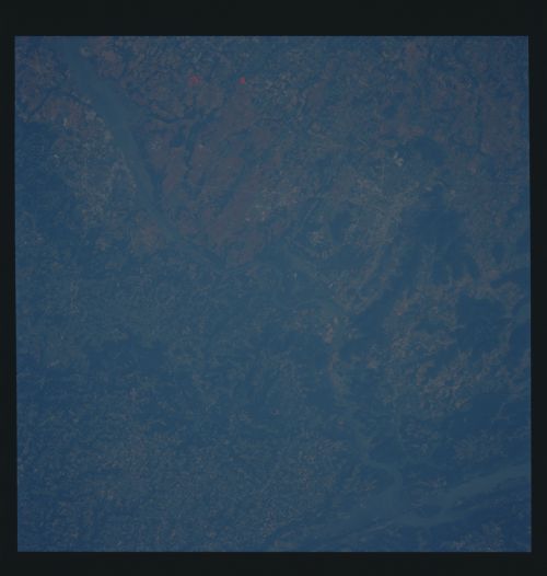
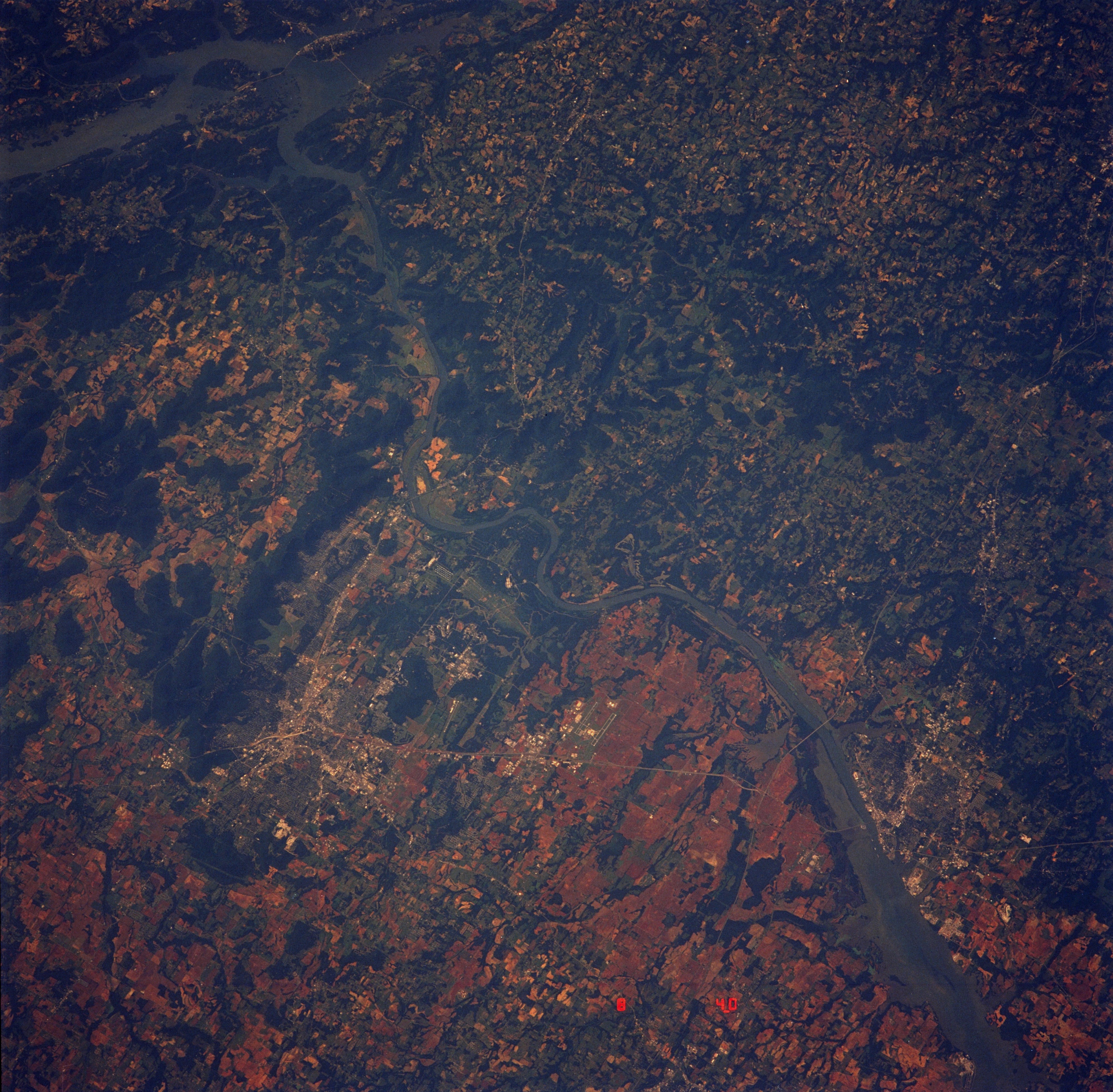
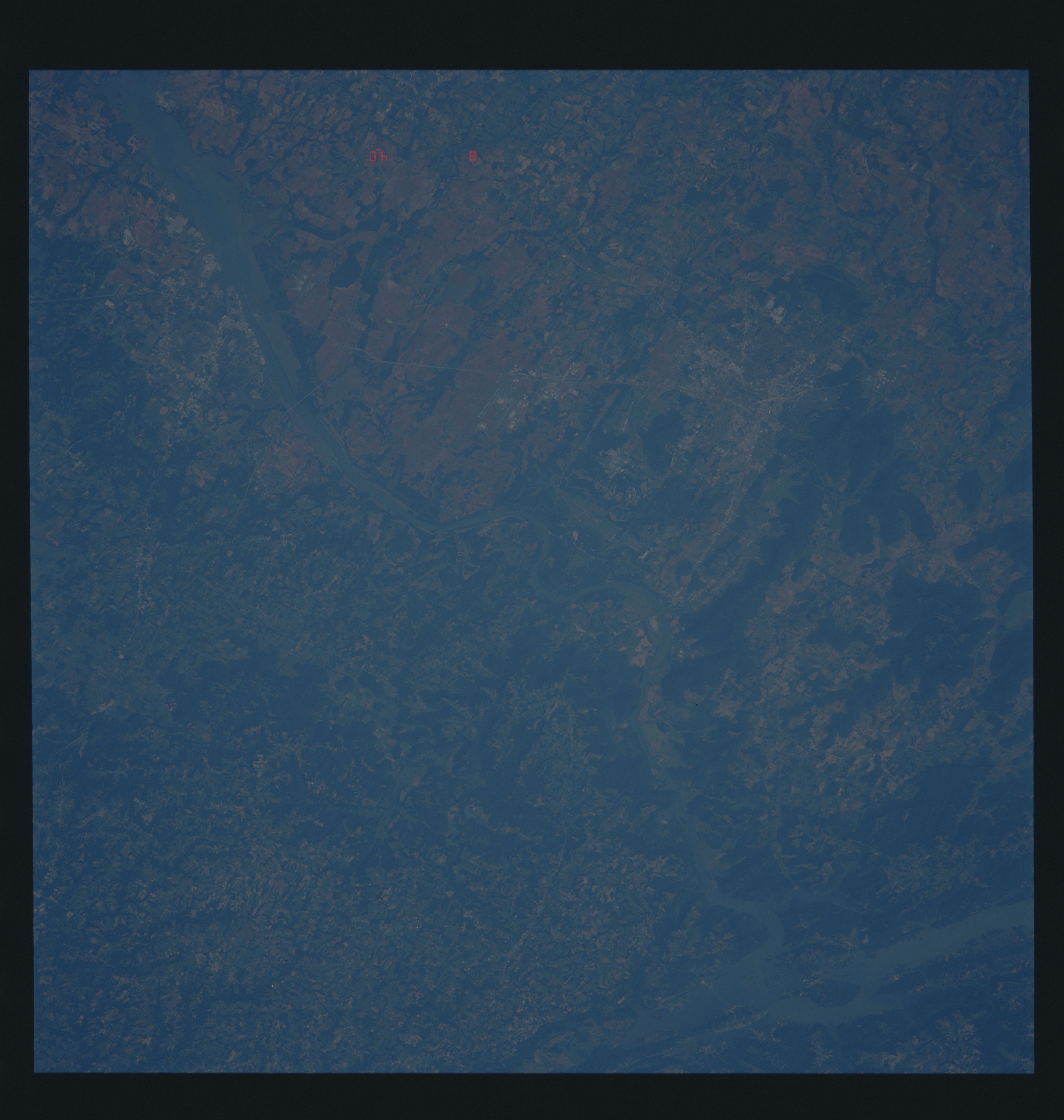
Image Caption: STS040-614-39 Huntsville, Alabama
This near-vertical photograph of north-central Alabama highlights the westward-flowing Tennessee River and reveals diverse land use. Two sizable urban areas are visible--Huntsville, (north of the river, with an estimated population of 150 000) and Decatur (south of the river, with an estimated population of 40 000). U.S. Highway 72 Alternate is the main artery connecting these two northern cities, which are 20 miles (30 kilometers) apart. The parallel runways of the commercial airport serving both cities can be seen just south of U.S. Highway 72 Alternate, almost midway between Huntsville and Decatur. In addition to the manmade infrastructure of Huntsville (highways, commercial patterns), NASA George C. Marshall Space Flight Center and the U.S. Army Redstone Arsenal are discernible southwest of downtown Huntsville, near the Tennessee River. North-south-oriented Interstate Highway 65 crosses the landscape just east of Decatur. Agricultural production throughout the region includes a variety of crops (cotton, soybeans, and corn) and farm animals (poultry, hogs, and cattle).
This near-vertical photograph of north-central Alabama highlights the westward-flowing Tennessee River and reveals diverse land use. Two sizable urban areas are visible--Huntsville, (north of the river, with an estimated population of 150 000) and Decatur (south of the river, with an estimated population of 40 000). U.S. Highway 72 Alternate is the main artery connecting these two northern cities, which are 20 miles (30 kilometers) apart. The parallel runways of the commercial airport serving both cities can be seen just south of U.S. Highway 72 Alternate, almost midway between Huntsville and Decatur. In addition to the manmade infrastructure of Huntsville (highways, commercial patterns), NASA George C. Marshall Space Flight Center and the U.S. Army Redstone Arsenal are discernible southwest of downtown Huntsville, near the Tennessee River. North-south-oriented Interstate Highway 65 crosses the landscape just east of Decatur. Agricultural production throughout the region includes a variety of crops (cotton, soybeans, and corn) and farm animals (poultry, hogs, and cattle).
