STS040-609-40
| NASA Photo ID | STS040-609-40 |
| Focal Length | 100mm |
| Date taken | 1991.06.__ |
| Time taken | GMT |
Resolutions offered for this image:
3904 x 3913 pixels 638 x 639 pixels 5700 x 6000 pixels 500 x 526 pixels 640 x 480 pixels
3904 x 3913 pixels 638 x 639 pixels 5700 x 6000 pixels 500 x 526 pixels 640 x 480 pixels


Cloud masks available for this image:
Spacecraft nadir point:
Photo center point: 39.0° N, 120.0° W
Photo center point by machine learning:
Photo center point: 39.0° N, 120.0° W
Photo center point by machine learning:
Nadir to Photo Center:
Spacecraft Altitude: nautical miles (0km)
Country or Geographic Name: | USA-CALIFORNIA |
Features: | SIERRA NEVADA, TAHOE LK. |
| Features Found Using Machine Learning: | |
Cloud Cover Percentage: | 0 (no clouds present) |
Sun Elevation Angle: | ° |
Sun Azimuth: | ° |
Camera: | Rolleiflex |
Focal Length: | 100mm |
Camera Tilt: | Low Oblique |
Format: | 5017: Kodak, natural color positive, Ektachrome, X Professional, ASA 64, standard base |
Film Exposure: | Normal |
| Additional Information | |
| Width | Height | Annotated | Cropped | Purpose | Links |
|---|---|---|---|---|---|
| 3904 pixels | 3913 pixels | No | No | Earth From Space collection | Download Image |
| 638 pixels | 639 pixels | No | No | Earth From Space collection | Download Image |
| 5700 pixels | 6000 pixels | No | No | Download Image | |
| 500 pixels | 526 pixels | No | No | Download Image | |
| 640 pixels | 480 pixels | No | No | Download Image |
Download Packaged File
Download a Google Earth KML for this Image
View photo footprint information
Download a GeoTIFF for this photo
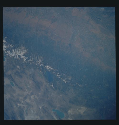
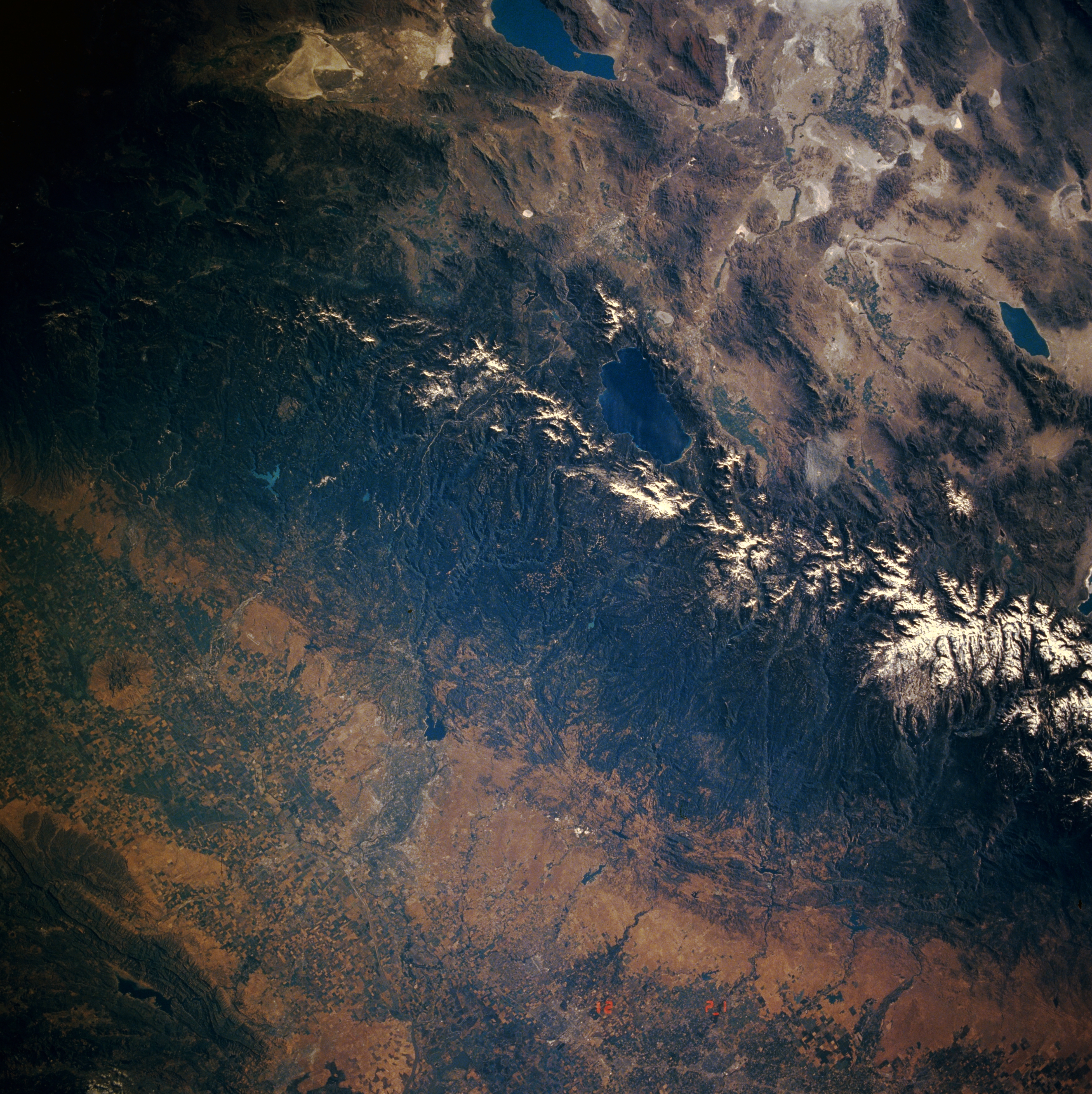
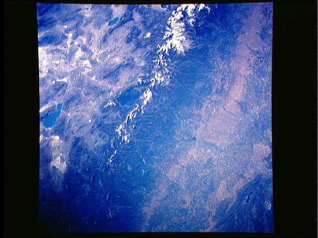
Image Caption: STS040-609-040 Sierra Nevada Mountains and Lake Tahoe, California, U.S.A. June 1991
The Central Valley, the snowcapped Sierra Nevada Range, and Lake Tahoe are visible in this synoptic, low-oblique, east-looking photograph. The Central Valley's numerous agricultural fields trend north-south. Sacramento and Stockton (near the bottom center of the photograph) are visible. The forested Sierra Nevada Mountains trend north-northwest-south-southeast. The forested areas are part of the Tahoe, El Dorado, and Stanislaus National Forests. Centrally located is Lake Tahoe, a large depression-filled lake within the Sierra Nevadas. Viewing clockwise from Pyramid Lake at the top center of the photograph are Walker Lake and part of Mono Lake.
The Central Valley, the snowcapped Sierra Nevada Range, and Lake Tahoe are visible in this synoptic, low-oblique, east-looking photograph. The Central Valley's numerous agricultural fields trend north-south. Sacramento and Stockton (near the bottom center of the photograph) are visible. The forested Sierra Nevada Mountains trend north-northwest-south-southeast. The forested areas are part of the Tahoe, El Dorado, and Stanislaus National Forests. Centrally located is Lake Tahoe, a large depression-filled lake within the Sierra Nevadas. Viewing clockwise from Pyramid Lake at the top center of the photograph are Walker Lake and part of Mono Lake.
