STS040-152-18
| NASA Photo ID | STS040-152-18 |
| Focal Length | 90mm |
| Date taken | 1991.06.11 |
| Time taken | 14:20:53 GMT |
Resolutions offered for this image:
640 x 480 pixels
640 x 480 pixels
Cloud masks available for this image:
Spacecraft nadir point: 15.8° S, 18.9° E
Photo center point: 16.5° S, 18.0° E
Photo center point by machine learning:
Photo center point: 16.5° S, 18.0° E
Photo center point by machine learning:
Nadir to Photo Center: Southwest
Spacecraft Altitude: 158 nautical miles (293km)
Country or Geographic Name: | ANGOLA |
Features: | RIO CUBANGO NR CANDELELA |
| Features Found Using Machine Learning: | |
Cloud Cover Percentage: | 0 (no clouds present) |
Sun Elevation Angle: | 24° |
Sun Azimuth: | 305° |
Camera: | Linhof |
Focal Length: | 90mm |
Camera Tilt: | 23 degrees |
Format: | QX868: Kodak, natural color positive, Ektachrome QX868(5017 emulsion), ASA 64, thin base |
Film Exposure: | Normal |
| Additional Information | |
| Width | Height | Annotated | Cropped | Purpose | Links |
|---|---|---|---|---|---|
| 640 pixels | 480 pixels | No | No | ISD 1 | Download Image |
Download Packaged File
Download a Google Earth KML for this Image
View photo footprint information
Download a GeoTIFF for this photo
Image Caption:
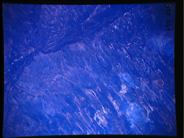
STS040-152-018 Southern Angola, Rice ageS dunes and lakes. Dunes
formed during the windier, drier- than-present times of the last
high-latitude ice age. A subsequent phase, wetter than present,
led to the development of many permanent lakes throughout south
central Africa. Ancient lake shorelines are folded around the
preexisting dunes. The whole semiarid landscape is now covered
by dry savannah without any surface water.
