STS039-96-69
| NASA Photo ID | STS039-96-69 |
| Focal Length | 250mm |
| Date taken | 1991.05.02 |
| Time taken | 20:32:34 GMT |
Resolutions offered for this image:
3904 x 3904 pixels 639 x 639 pixels 5700 x 6000 pixels 500 x 526 pixels 640 x 480 pixels
3904 x 3904 pixels 639 x 639 pixels 5700 x 6000 pixels 500 x 526 pixels 640 x 480 pixels

Cloud masks available for this image:
Spacecraft nadir point: 32.2° N, 103.8° W
Photo center point: 31.8° N, 104.9° W
Photo center point by machine learning:
Photo center point: 31.8° N, 104.9° W
Photo center point by machine learning:
Nadir to Photo Center: West
Spacecraft Altitude: 138 nautical miles (256km)
Country or Geographic Name: | USA-TEXAS |
Features: | GUADALUPE MTNS AREA |
| Features Found Using Machine Learning: | |
Cloud Cover Percentage: | 0 (no clouds present) |
Sun Elevation Angle: | 60° |
Sun Azimuth: | 202° |
Camera: | Hasselblad |
Focal Length: | 250mm |
Camera Tilt: | 27 degrees |
Format: | 5017: Kodak, natural color positive, Ektachrome, X Professional, ASA 64, standard base |
Film Exposure: | Normal |
| Additional Information | |
| Width | Height | Annotated | Cropped | Purpose | Links |
|---|---|---|---|---|---|
| 3904 pixels | 3904 pixels | No | No | Earth From Space collection | Download Image |
| 639 pixels | 639 pixels | No | No | Earth From Space collection | Download Image |
| 5700 pixels | 6000 pixels | No | No | Download Image | |
| 500 pixels | 526 pixels | No | No | Download Image | |
| 640 pixels | 480 pixels | No | No | Download Image |
Download Packaged File
Download a Google Earth KML for this Image
View photo footprint information
Download a GeoTIFF for this photo
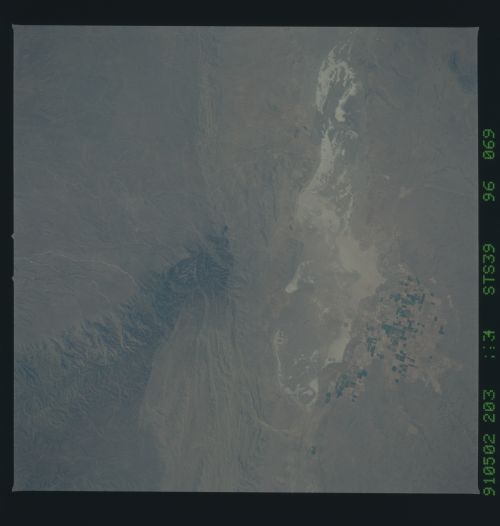
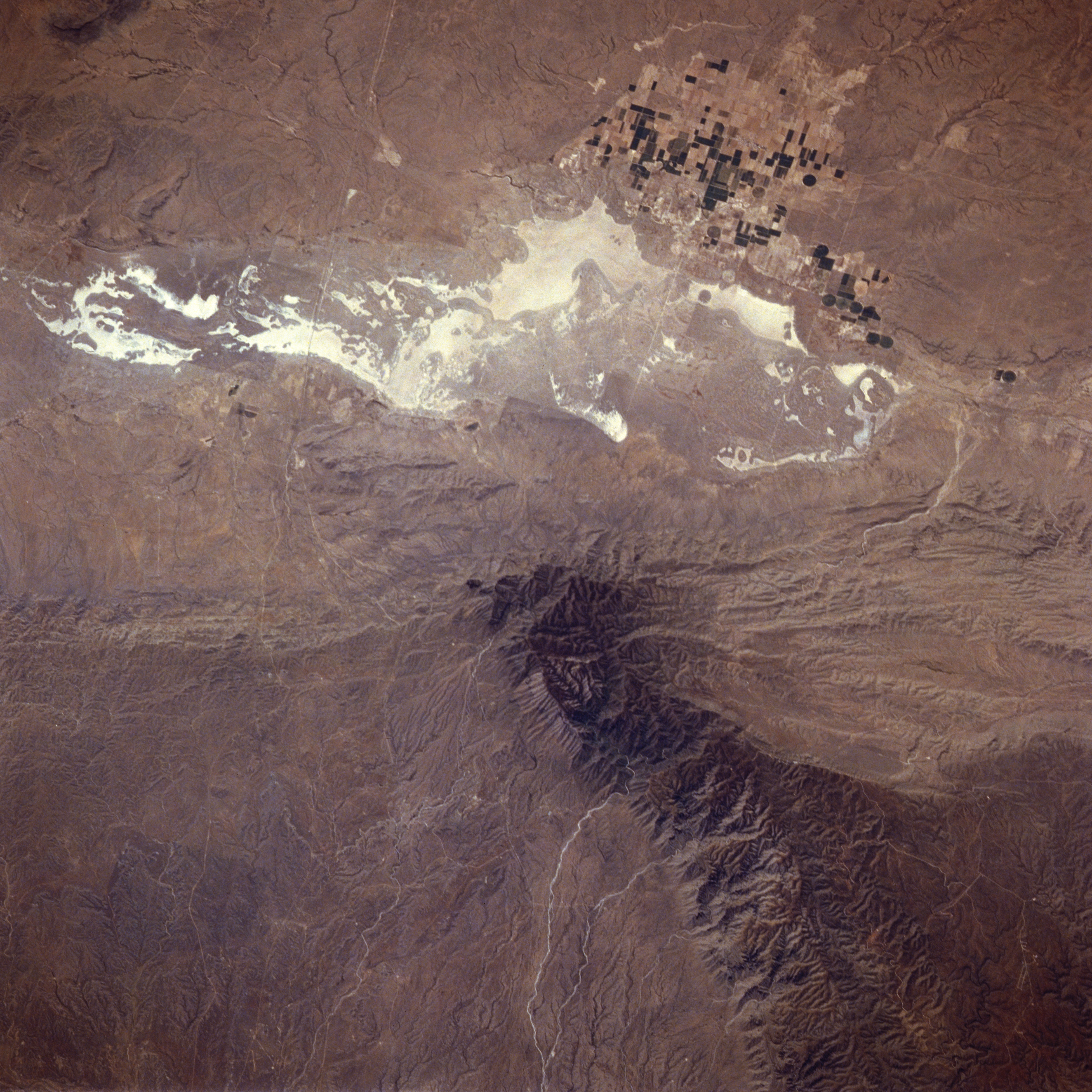
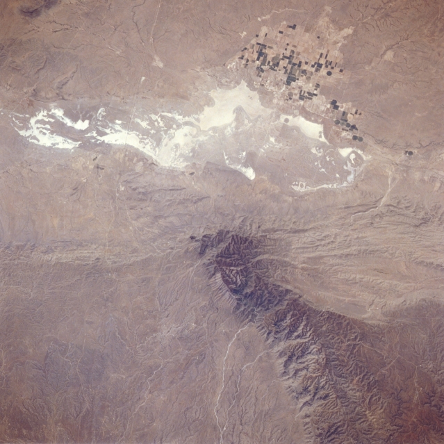
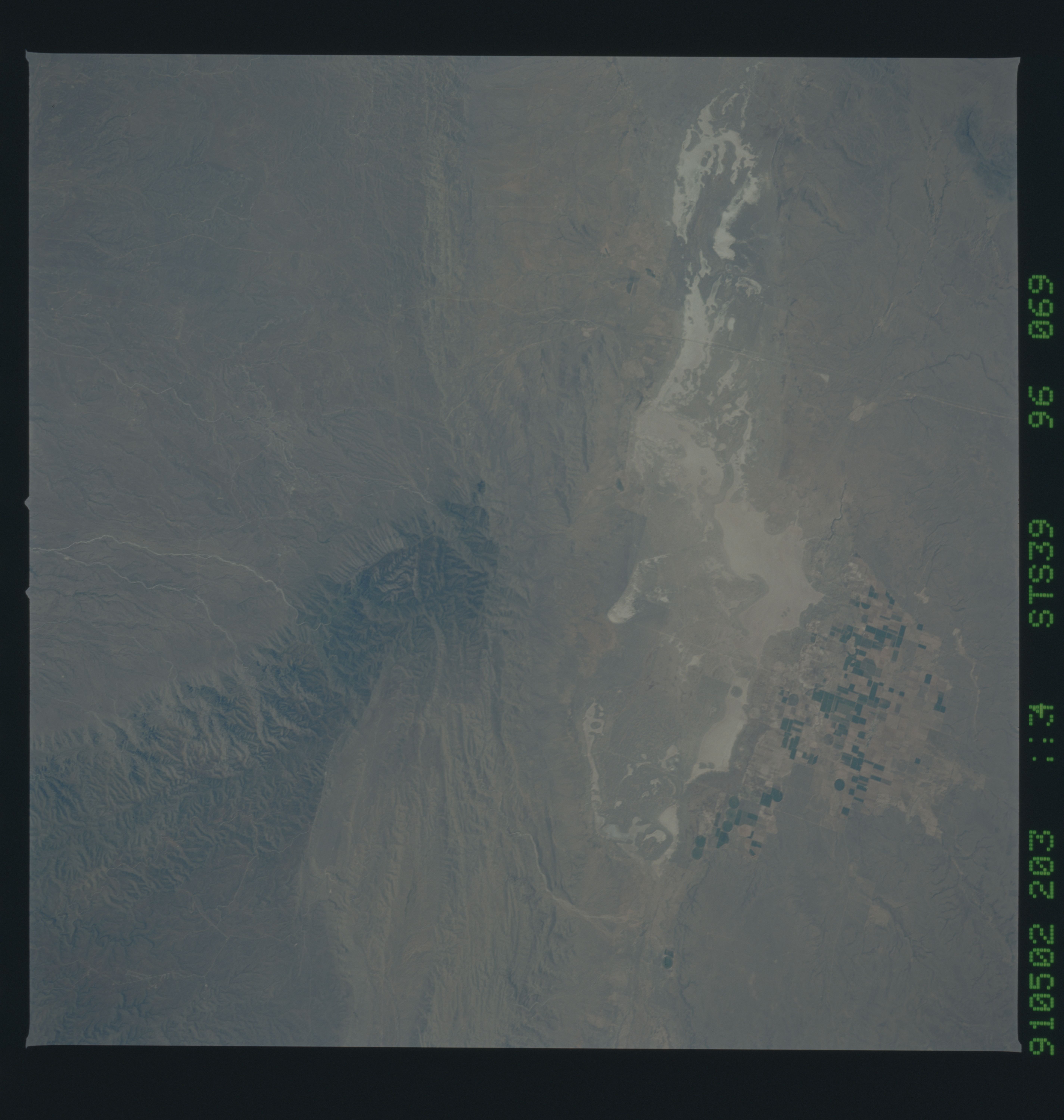
Image Caption: STS039-096-069 Guadalupe Mountains, Texas, U.S.A. May 1991
Featured in this photograph are Salt Basin, a broad, flat valley consisting of windblown sands and white alkali salt flats approximately 70 miles (113 kilometers) due east of El Paso, and the dark, rugged Guadalupe Mountains, the largest fossil reef in the world. El Capitan, an imposing cliff composed of limestone reef rock, and Guadalupe Peak [8749 feet (2667 meters) above sea level], the highest point in Texas, are near the southern end of the Guadalupe Mountains. Combined U.S. Highway 62 and U.S. Highway 180, the linear east-west-trending feature, can be traced across this arid landscape, just south of an agricultural area. Irrigated field patterns west of the salt flats identify the small town of Dell City.
Featured in this photograph are Salt Basin, a broad, flat valley consisting of windblown sands and white alkali salt flats approximately 70 miles (113 kilometers) due east of El Paso, and the dark, rugged Guadalupe Mountains, the largest fossil reef in the world. El Capitan, an imposing cliff composed of limestone reef rock, and Guadalupe Peak [8749 feet (2667 meters) above sea level], the highest point in Texas, are near the southern end of the Guadalupe Mountains. Combined U.S. Highway 62 and U.S. Highway 180, the linear east-west-trending feature, can be traced across this arid landscape, just south of an agricultural area. Irrigated field patterns west of the salt flats identify the small town of Dell City.
