STS039-89-62
| NASA Photo ID | STS039-89-62 |
| Focal Length | 250mm |
| Date taken | 1991.04.29 |
| Time taken | 22:24:13 GMT |
Resolutions offered for this image:
4080 x 4096 pixels 785 x 795 pixels 5303 x 5303 pixels 640 x 640 pixels 5700 x 6000 pixels 4080 x 4096 pixels 500 x 526 pixels 640 x 480 pixels
4080 x 4096 pixels 785 x 795 pixels 5303 x 5303 pixels 640 x 640 pixels 5700 x 6000 pixels 4080 x 4096 pixels 500 x 526 pixels 640 x 480 pixels


Cloud masks available for this image:
Spacecraft nadir point: 36.0° N, 119.0° W
Photo center point: 34.1° N, 118.4° W
Photo center point by machine learning:
Photo center point: 34.1° N, 118.4° W
Photo center point by machine learning:
Nadir to Photo Center: South
Spacecraft Altitude: 141 nautical miles (261km)
Country or Geographic Name: | USA-CALIFORNIA |
Features: | LOS ANGELES AREA |
| Features Found Using Machine Learning: | |
Cloud Cover Percentage: | 0 (no clouds present) |
Sun Elevation Angle: | 50° |
Sun Azimuth: | 246° |
Camera: | Hasselblad |
Focal Length: | 250mm |
Camera Tilt: | 40 degrees |
Format: | 2443: Kodak Aerochrome 2443, color IR, thin base, EA-5 process thru June 1999, E-6 process afterward |
Film Exposure: | Normal |
| Additional Information | |
| Width | Height | Annotated | Cropped | Purpose | Links |
|---|---|---|---|---|---|
| 4080 pixels | 4096 pixels | Cities collection | Download Image | ||
| 785 pixels | 795 pixels | No | No | Cities collection | Download Image |
| 5303 pixels | 5303 pixels | No | No | Earth From Space collection | Download Image |
| 640 pixels | 640 pixels | No | No | Earth From Space collection | Download Image |
| 5700 pixels | 6000 pixels | No | No | Download Image | |
| 4080 pixels | 4096 pixels | No | No | Download Image | |
| 500 pixels | 526 pixels | No | No | Download Image | |
| 640 pixels | 480 pixels | No | No | Download Image |
Download Packaged File
Download a Google Earth KML for this Image
View photo footprint information
Download a GeoTIFF for this photo
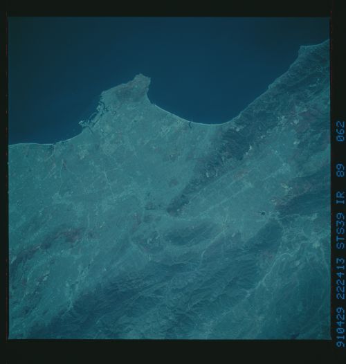
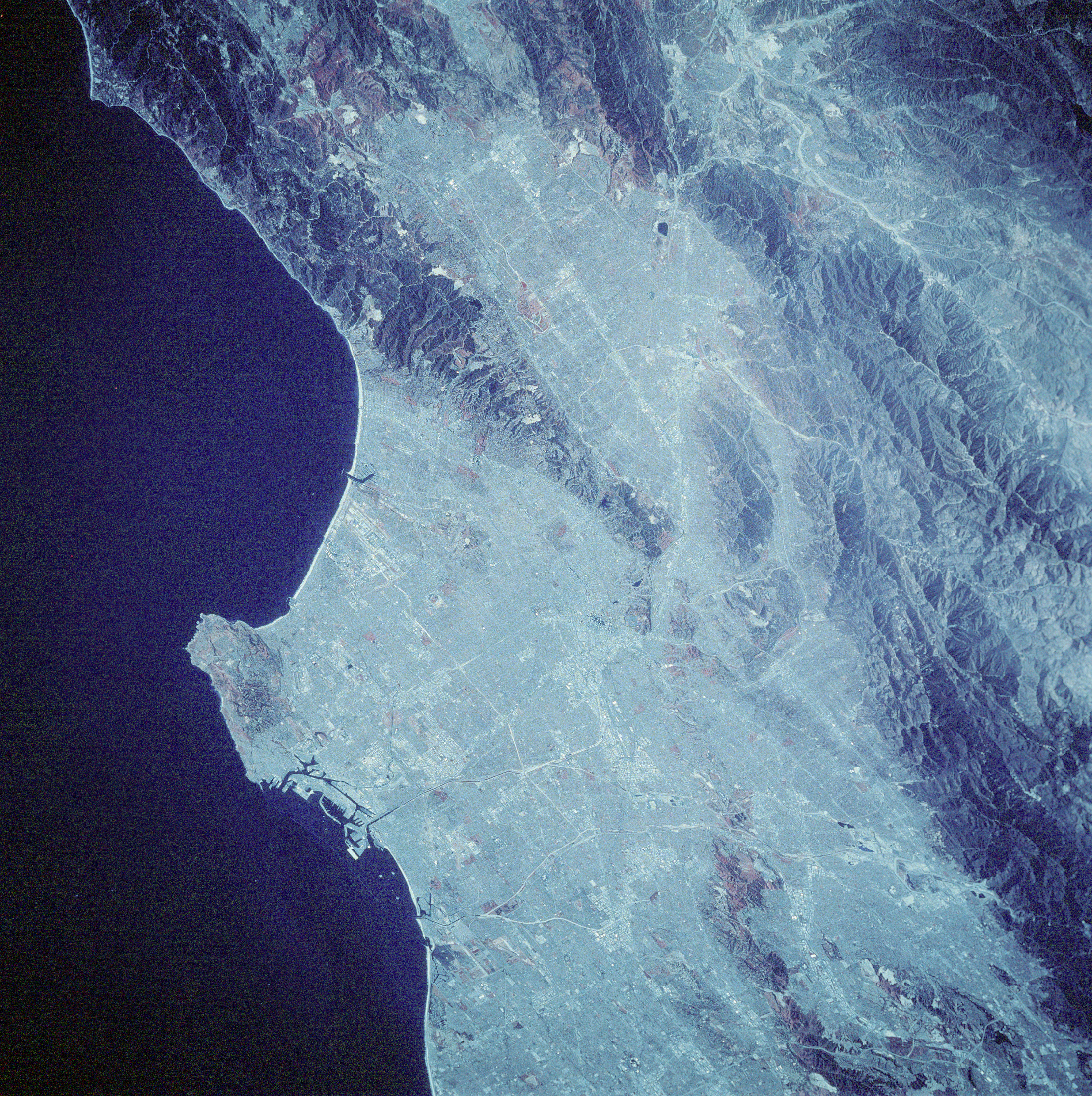
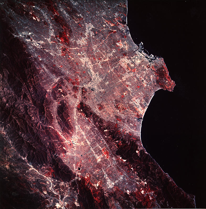
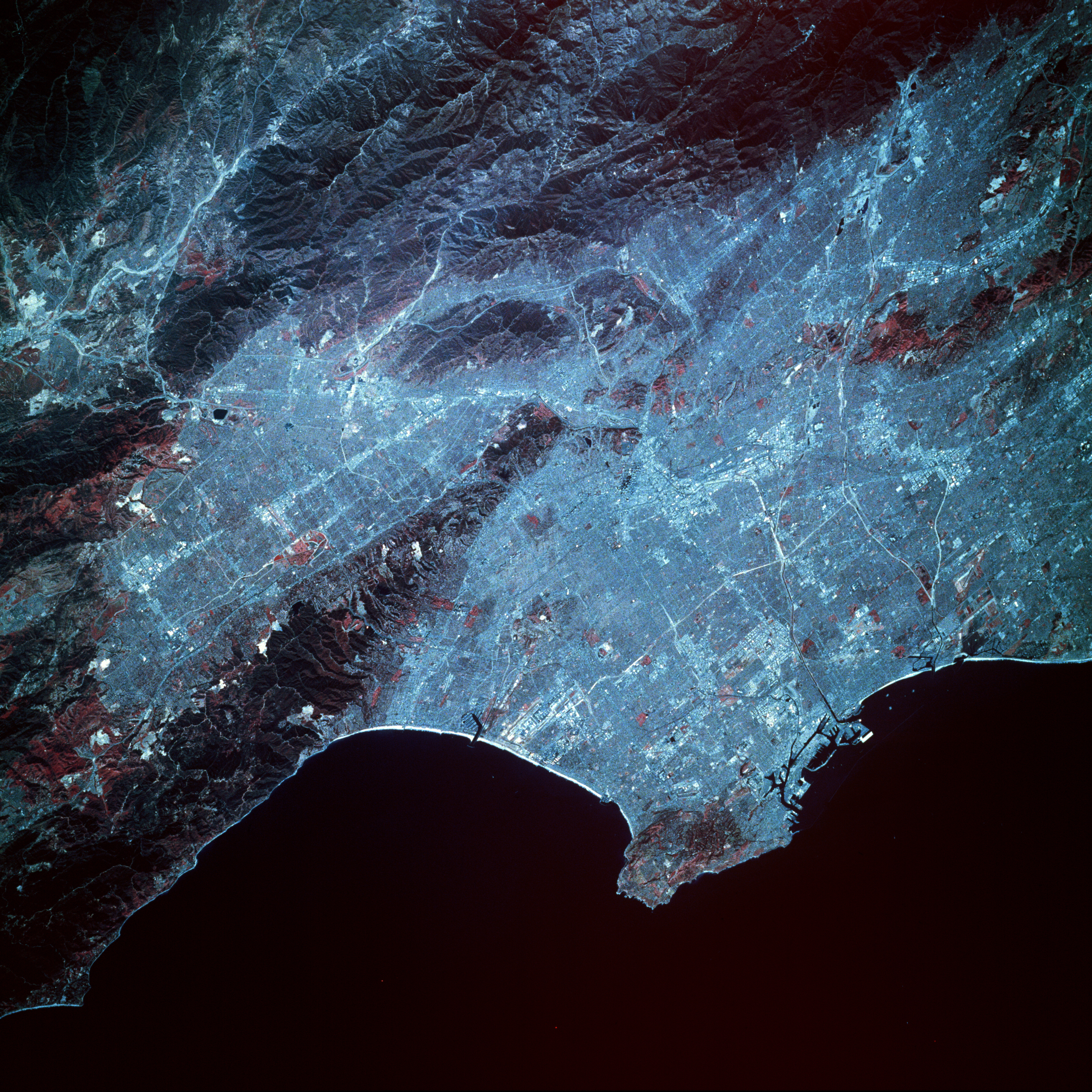
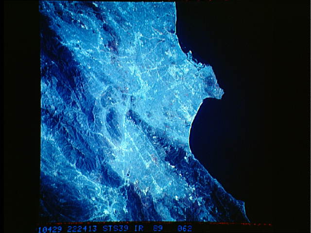
Image Caption: STS039-089-062 Los Angeles Basin, California, U.S.A. May 1991
The Los Angeles metropolitan area includes five counties and covers 34 000 square miles (88 060 square kilometers). Nearly 10 million people live and work in this dynamic region. Los Angeles is important economically because of shipping, industrial facilities, distribution centers, and financial institutions. Several major interstate highways can be identified, and many of the large industrial and commercial areas can be identified by their highly reflective signatures. These clustered areas are usually found alongside major ground transportation routes. Downtown Los Angeles (near the center of photograph) can be seen west of Interstate Highway 5, which traverses southeast-northwest. Since this photograph is made on color infrared film, the reddish signatures represent vegetated areas; usually more intense red is indicative of vibrant vegetation. Not surprisingly, the red areas in this photograph (trees, grasses, and shrubs) are predominantly found on the mountains, hills, and parks that are scattered throughout the region. The two long, parallel runways of Los Angeles International Airport are visible southwest of the center of the photograph, midway between the Santa Monica Mountains to the north and the Palos Verdes Hills to the south. (Refer to STS-039-151-184, a natural color photograph of the same general area that was taken on the same mission. The color infrared film presents a crisper, sharper, and--in general--more detailed photograph than does the natural color film and allows one to identify additional physical features.)
The Los Angeles metropolitan area includes five counties and covers 34 000 square miles (88 060 square kilometers). Nearly 10 million people live and work in this dynamic region. Los Angeles is important economically because of shipping, industrial facilities, distribution centers, and financial institutions. Several major interstate highways can be identified, and many of the large industrial and commercial areas can be identified by their highly reflective signatures. These clustered areas are usually found alongside major ground transportation routes. Downtown Los Angeles (near the center of photograph) can be seen west of Interstate Highway 5, which traverses southeast-northwest. Since this photograph is made on color infrared film, the reddish signatures represent vegetated areas; usually more intense red is indicative of vibrant vegetation. Not surprisingly, the red areas in this photograph (trees, grasses, and shrubs) are predominantly found on the mountains, hills, and parks that are scattered throughout the region. The two long, parallel runways of Los Angeles International Airport are visible southwest of the center of the photograph, midway between the Santa Monica Mountains to the north and the Palos Verdes Hills to the south. (Refer to STS-039-151-184, a natural color photograph of the same general area that was taken on the same mission. The color infrared film presents a crisper, sharper, and--in general--more detailed photograph than does the natural color film and allows one to identify additional physical features.)
