STS039-85-35
| NASA Photo ID | STS039-85-35 |
| Focal Length | 250mm |
| Date taken | 1991.04.30 |
| Time taken | 20:49:10 GMT |
Resolutions offered for this image:
3904 x 3904 pixels 639 x 639 pixels 5700 x 6000 pixels 500 x 526 pixels 640 x 480 pixels
3904 x 3904 pixels 639 x 639 pixels 5700 x 6000 pixels 500 x 526 pixels 640 x 480 pixels


Cloud masks available for this image:
Spacecraft nadir point: 31.2° N, 95.5° W
Photo center point: 30.0° N, 95.4° W
Photo center point by machine learning:
Photo center point: 30.0° N, 95.4° W
Photo center point by machine learning:
Nadir to Photo Center: South
Spacecraft Altitude: 139 nautical miles (257km)
Country or Geographic Name: | USA-TEXAS |
Features: | NO. HOUSTON, INT. AIRPORT |
| Features Found Using Machine Learning: | |
Cloud Cover Percentage: | 20 (11-25)% |
Sun Elevation Angle: | 53° |
Sun Azimuth: | 248° |
Camera: | Hasselblad |
Focal Length: | 250mm |
Camera Tilt: | 27 degrees |
Format: | 5017: Kodak, natural color positive, Ektachrome, X Professional, ASA 64, standard base |
Film Exposure: | Normal |
| Additional Information | |
| Width | Height | Annotated | Cropped | Purpose | Links |
|---|---|---|---|---|---|
| 3904 pixels | 3904 pixels | No | No | Earth From Space collection | Download Image |
| 639 pixels | 639 pixels | No | No | Earth From Space collection | Download Image |
| 5700 pixels | 6000 pixels | No | No | Download Image | |
| 500 pixels | 526 pixels | No | No | Download Image | |
| 640 pixels | 480 pixels | No | No | Download Image |
Download Packaged File
Download a Google Earth KML for this Image
View photo footprint information
Download a GeoTIFF for this photo
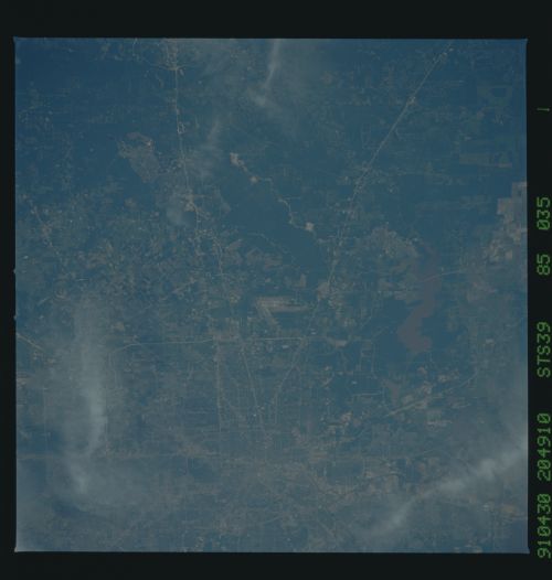
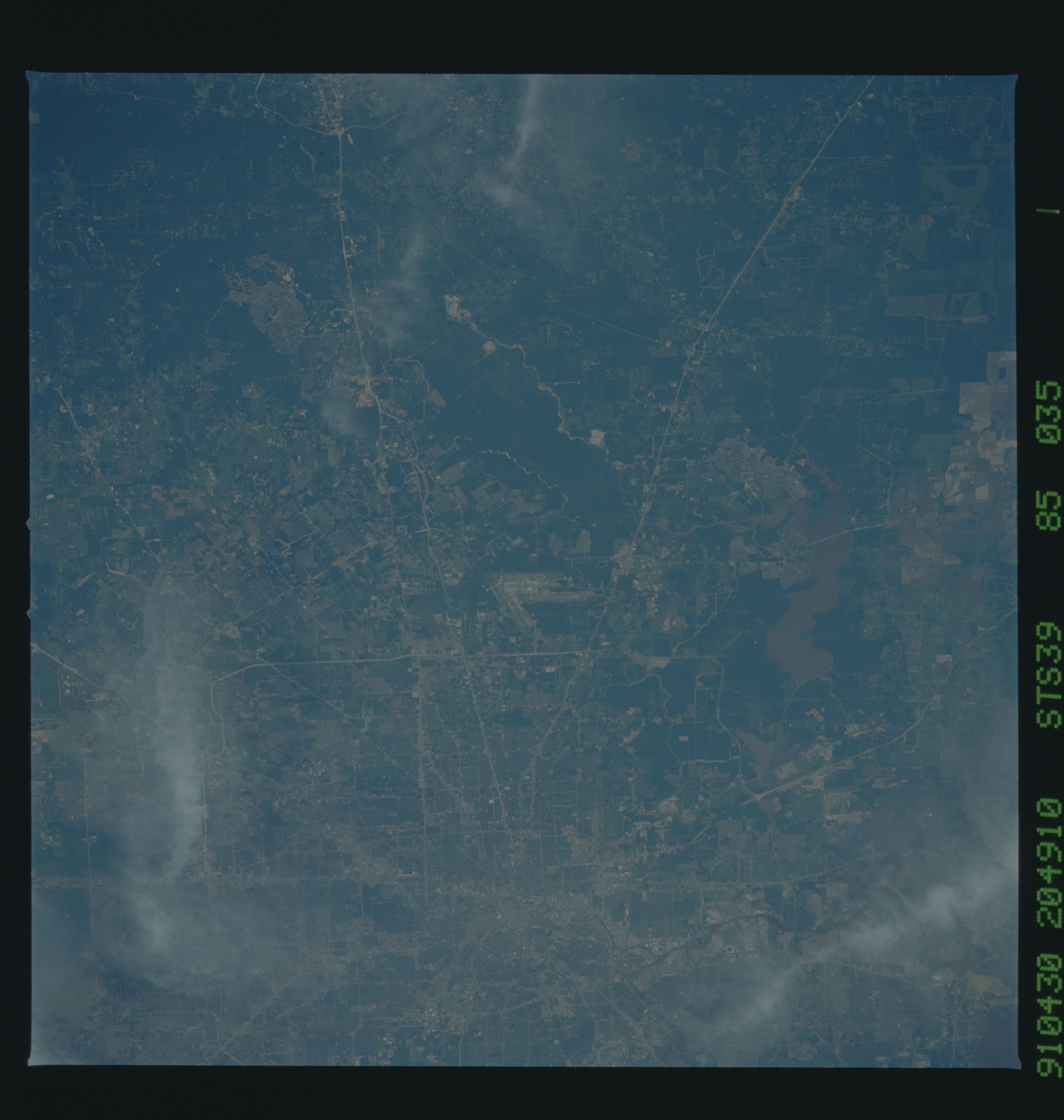
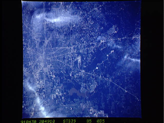
Image Caption: STS039-085-035 North Houston, Texas, U.S.A. May 1991
This synoptic view of Houston extends from the Astrodome (bottom center) to the highway encircling Conroe to the north. Easily identifiable are such major thoroughfares as northeast-southwest-trending U.S. Highway 59 (Eastex Freeway), generally north-south-trending Interstate Highway 45, the outer Sam Houston Tollway (Beltway 8), and north-south-oriented Hardy Toll Road. The central business district is the point of convergence for all the major highways. The highly industrialized Houston Ship Channel, the eastern extension of Buffalo Bayou, winds eastward from downtown toward Galveston Bay. Apparent are George Bush Intercontinental Airport (middle of photograph); muddy Lake Houston to the east; and dark concentrations of lands, forested primarily by pine trees, to the north.
This synoptic view of Houston extends from the Astrodome (bottom center) to the highway encircling Conroe to the north. Easily identifiable are such major thoroughfares as northeast-southwest-trending U.S. Highway 59 (Eastex Freeway), generally north-south-trending Interstate Highway 45, the outer Sam Houston Tollway (Beltway 8), and north-south-oriented Hardy Toll Road. The central business district is the point of convergence for all the major highways. The highly industrialized Houston Ship Channel, the eastern extension of Buffalo Bayou, winds eastward from downtown toward Galveston Bay. Apparent are George Bush Intercontinental Airport (middle of photograph); muddy Lake Houston to the east; and dark concentrations of lands, forested primarily by pine trees, to the north.
