STS039-85-33
| NASA Photo ID | STS039-85-33 |
| Focal Length | 250mm |
| Date taken | 1991.04.30 |
| Time taken | 20:48:42 GMT |
Resolutions offered for this image:
3904 x 3904 pixels 639 x 639 pixels 5700 x 6000 pixels 500 x 526 pixels 640 x 480 pixels
3904 x 3904 pixels 639 x 639 pixels 5700 x 6000 pixels 500 x 526 pixels 640 x 480 pixels
Cloud masks available for this image:
Spacecraft nadir point: 32.6° N, 96.8° W
Photo center point: 33.0° N, 96.7° W
Photo center point by machine learning:
Photo center point: 33.0° N, 96.7° W
Photo center point by machine learning:
Nadir to Photo Center: North
Spacecraft Altitude: 139 nautical miles (257km)
Country or Geographic Name: | USA-TEXAS |
Features: | NO. DALLAS, RESERVOIRS |
| Features Found Using Machine Learning: | |
Cloud Cover Percentage: | 0 (no clouds present) |
Sun Elevation Angle: | 53° |
Sun Azimuth: | 245° |
Camera: | Hasselblad |
Focal Length: | 250mm |
Camera Tilt: | 10 degrees |
Format: | 5017: Kodak, natural color positive, Ektachrome, X Professional, ASA 64, standard base |
Film Exposure: | Normal |
| Additional Information | |
| Width | Height | Annotated | Cropped | Purpose | Links |
|---|---|---|---|---|---|
| 3904 pixels | 3904 pixels | No | No | Earth From Space collection | Download Image |
| 639 pixels | 639 pixels | No | No | Earth From Space collection | Download Image |
| 5700 pixels | 6000 pixels | No | No | Download Image | |
| 500 pixels | 526 pixels | No | No | Download Image | |
| 640 pixels | 480 pixels | No | No | Download Image |
Download Packaged File
Download a Google Earth KML for this Image
View photo footprint information
Download a GeoTIFF for this photo
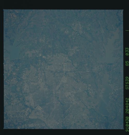
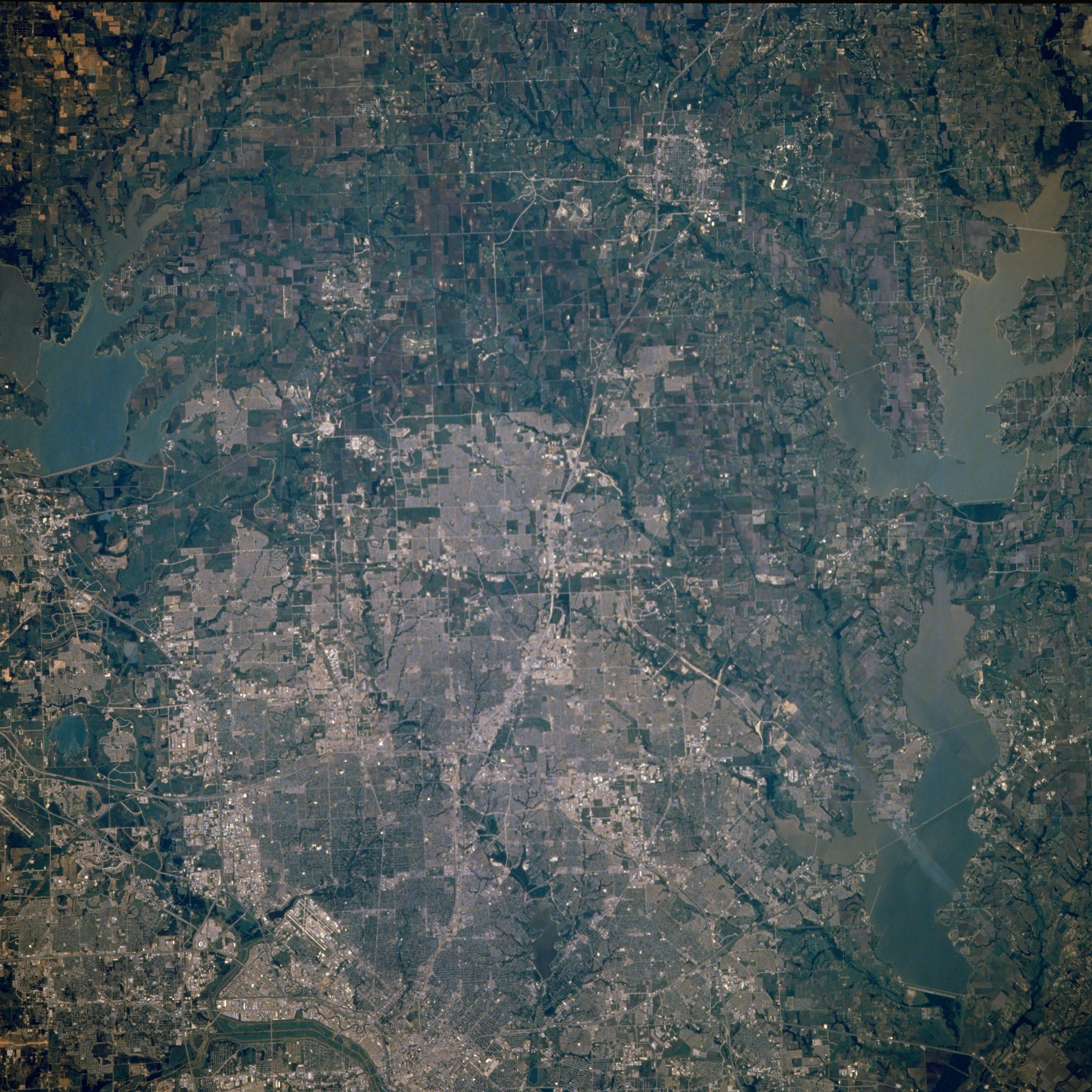
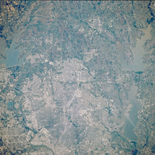
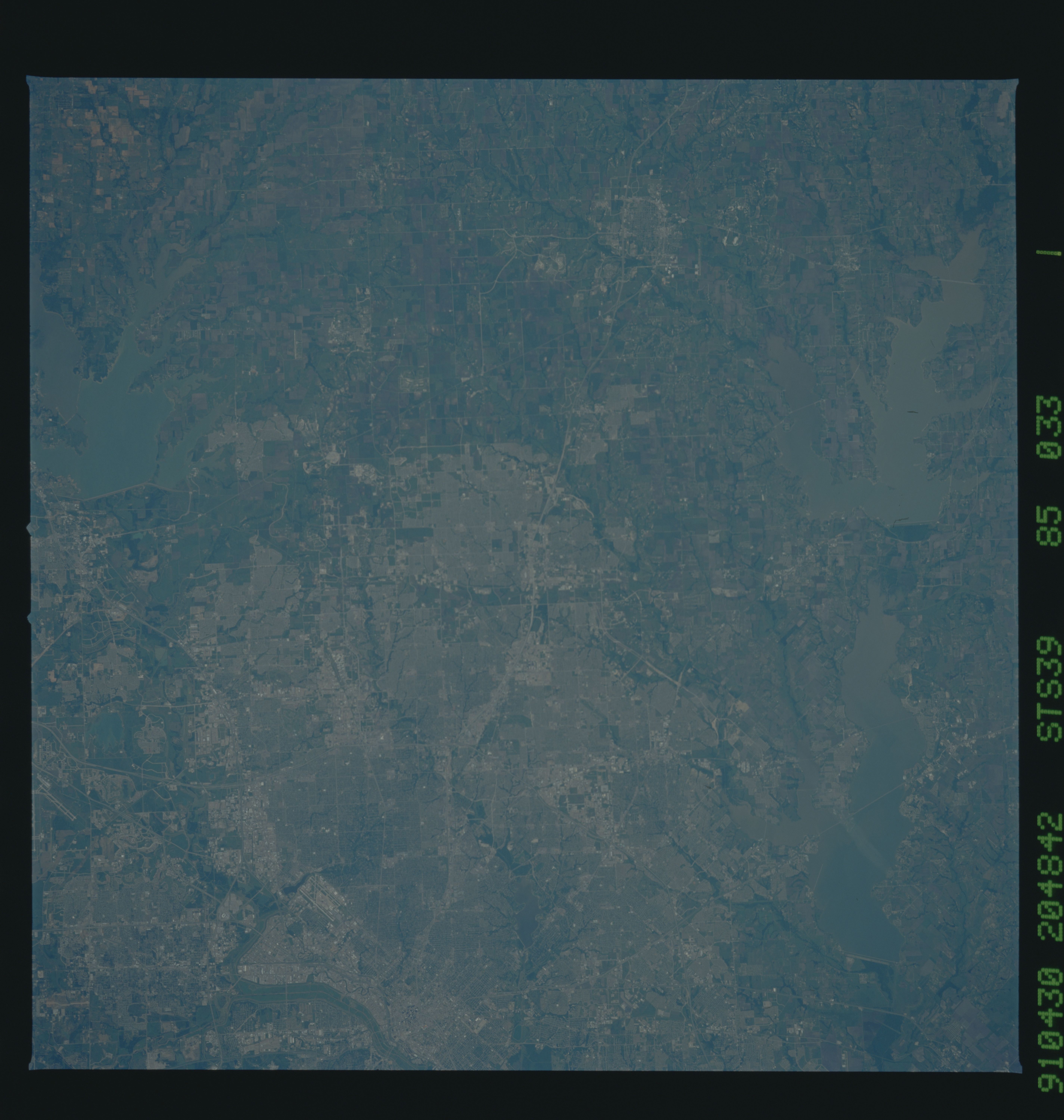
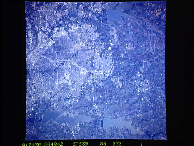
Image Caption: STS039-085-033 North Dallas, Texas, U.S.A. May 1991
The northern two-thirds of Dallas and such peripheral cities as Richardson, Plano, Allen, and McKinney to the north are featured in this near-vertical photograph of a region experiencing tremendous population growth. Visible are the central business district of downtown Dallas (west of center); the runways of Dallas Love Field (northwest of downtown); and north-south U.S. Highway 75, the Central Expressway. Three large reservoirs and their respective dams are apparent--Garza Little Elm Reservoir northwest of Dallas, Lavon Reservoir to the northeast, and Lake Ray Hubbard to the east. Visible are White Rock Creek, a tributary of the Trinity River, meandering southward through central Dallas; the street pattern of most of the surrounding cities; and cultivated (angular) agricultural fields north of the cities.
The northern two-thirds of Dallas and such peripheral cities as Richardson, Plano, Allen, and McKinney to the north are featured in this near-vertical photograph of a region experiencing tremendous population growth. Visible are the central business district of downtown Dallas (west of center); the runways of Dallas Love Field (northwest of downtown); and north-south U.S. Highway 75, the Central Expressway. Three large reservoirs and their respective dams are apparent--Garza Little Elm Reservoir northwest of Dallas, Lavon Reservoir to the northeast, and Lake Ray Hubbard to the east. Visible are White Rock Creek, a tributary of the Trinity River, meandering southward through central Dallas; the street pattern of most of the surrounding cities; and cultivated (angular) agricultural fields north of the cities.
