STS039-83-91

| NASA Photo ID | STS039-83-91 |
| Focal Length | 250mm |
| Date taken | 1991.04.29 |
| Time taken | 19:25:10 GMT |
Resolutions offered for this image:
5158 x 5158 pixels 640 x 640 pixels 5700 x 6000 pixels 500 x 526 pixels 640 x 480 pixels 1442 x 1589 pixels 461 x 453 pixels 651 x 632 pixels
5158 x 5158 pixels 640 x 640 pixels 5700 x 6000 pixels 500 x 526 pixels 640 x 480 pixels 1442 x 1589 pixels 461 x 453 pixels 651 x 632 pixels


Cloud masks available for this image:
Spacecraft nadir point: 35.9° N, 73.3° W
Photo center point: 35.0° N, 75.5° W
Photo center point by machine learning:
Photo center point: 35.0° N, 75.5° W
Photo center point by machine learning:
Nadir to Photo Center: West
Spacecraft Altitude: 141 nautical miles (261km)
Country or Geographic Name: | USA-NORTH CAROLINA |
Features: | CURRENT BOUNDRY, CAPE HATTERAS |
| Features Found Using Machine Learning: | |
Cloud Cover Percentage: | 5 (1-10)% |
Sun Elevation Angle: | 49° |
Sun Azimuth: | 248° |
Camera: | Hasselblad |
Focal Length: | 250mm |
Camera Tilt: | 45 degrees |
Format: | 5017: Kodak, natural color positive, Ektachrome, X Professional, ASA 64, standard base |
Film Exposure: | Normal |
| Additional Information | |
| Width | Height | Annotated | Cropped | Purpose | Links |
|---|---|---|---|---|---|
| 5158 pixels | 5158 pixels | No | No | Earth From Space collection | Download Image |
| 640 pixels | 640 pixels | No | No | Earth From Space collection | Download Image |
| 5700 pixels | 6000 pixels | No | No | Download Image | |
| 500 pixels | 526 pixels | No | No | Download Image | |
| 640 pixels | 480 pixels | No | No | Download Image | |
| 1442 pixels | 1589 pixels | No | No | Download Image | |
| 461 pixels | 453 pixels | Yes | No | Download Image | |
| 651 pixels | 632 pixels | Download Image |
Download Packaged File
Download a Google Earth KML for this Image
View photo footprint information
Download a GeoTIFF for this photo
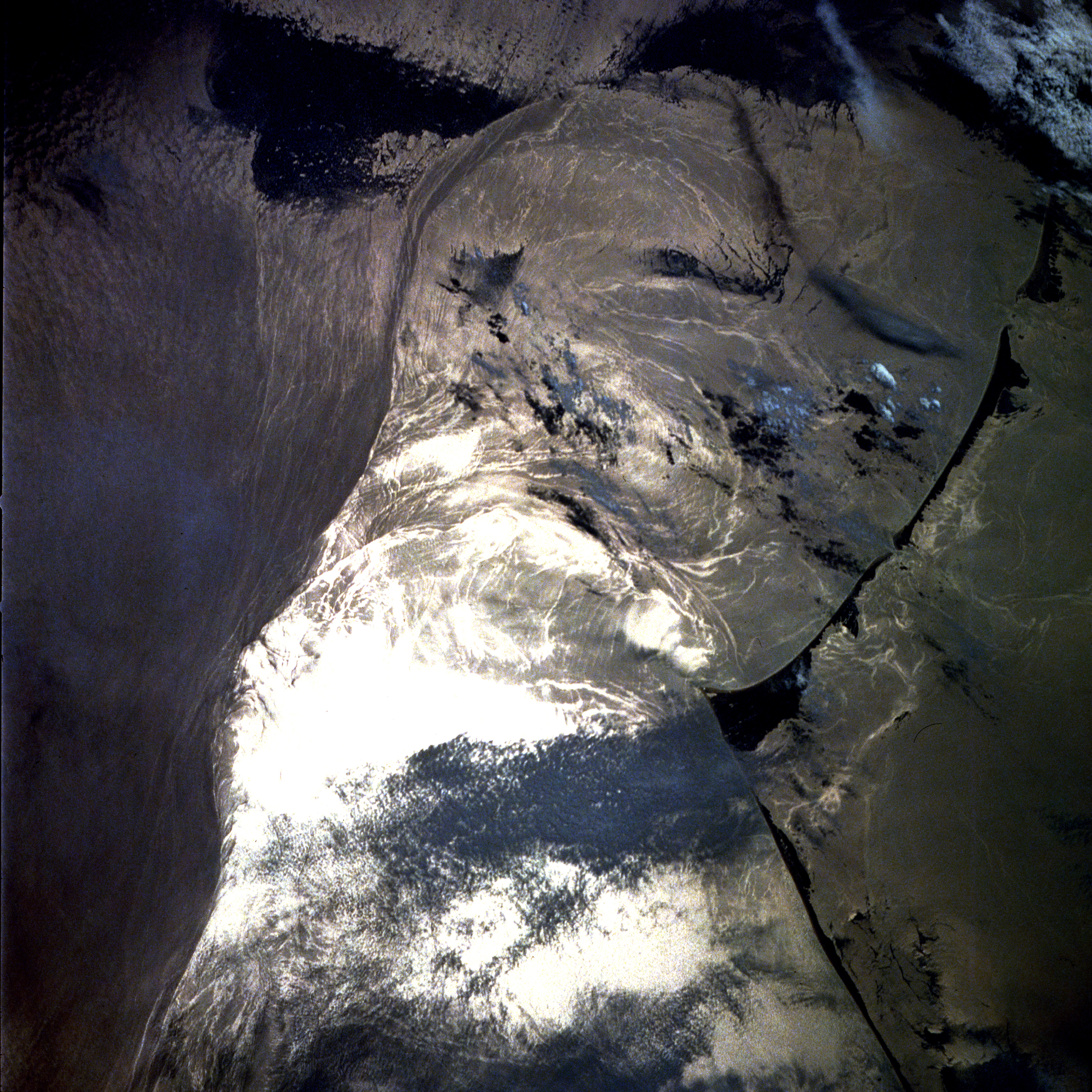
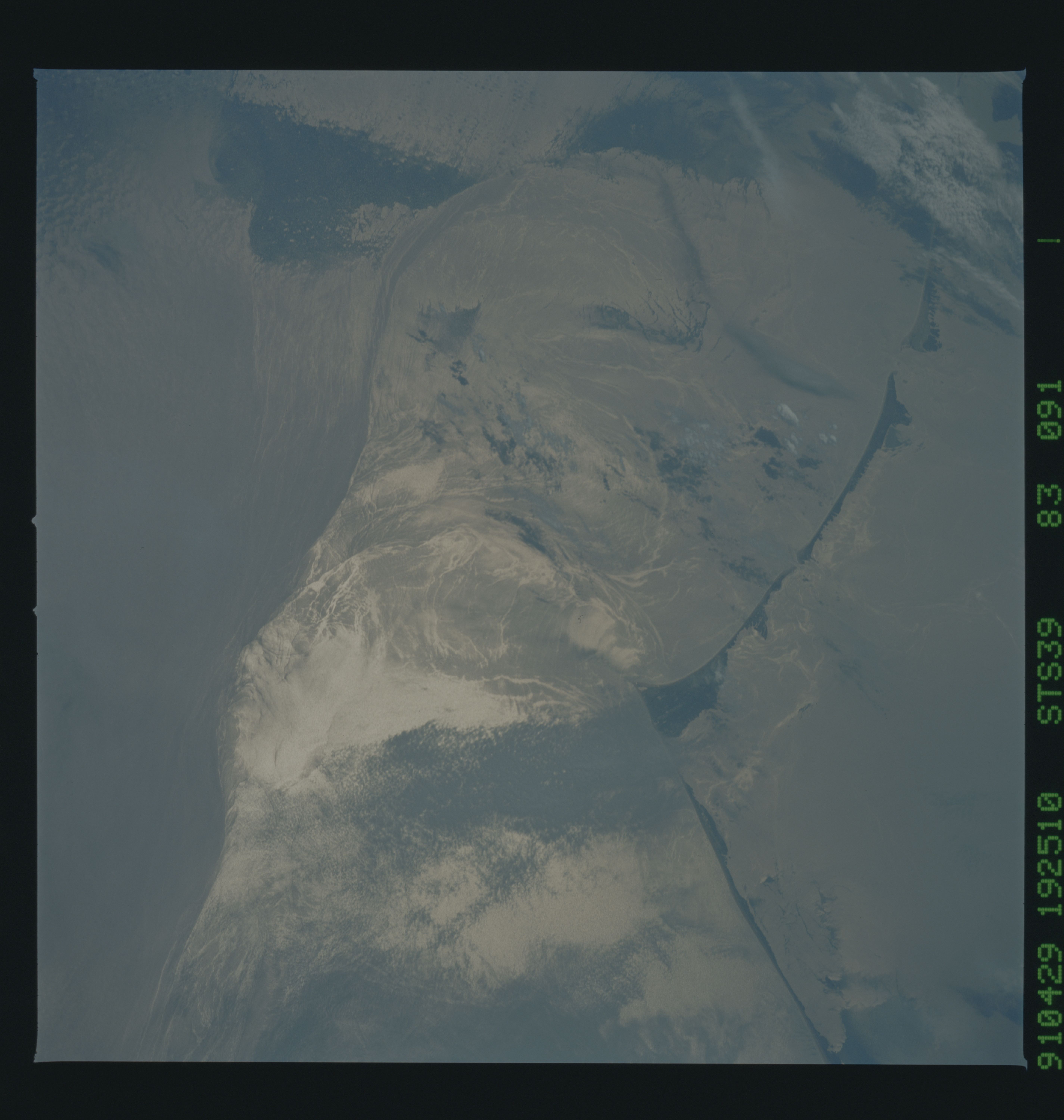
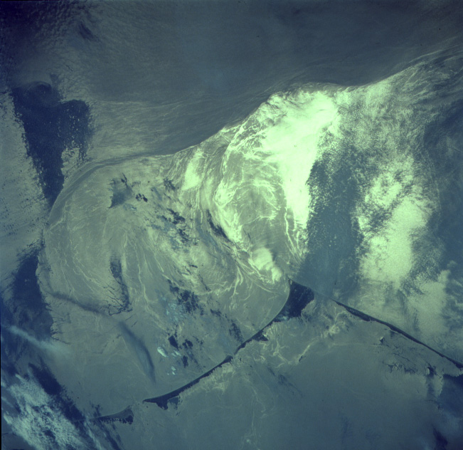
Image Caption: STS039-083-091 Gulf Stream Near Cape Hatteras, North Carolina May 1991
The western boundary (left on image) of the north flowing Gulf Stream is visible in this image. North is towards the bottom. The bright white area seen in the image is the reflection of the sun off the water or sunglint. The waters of Pamlico Sound are visible along the right side of the image. Cape Hatteras and the accompanying Barrier Sand Islands can be seen to the east of the waters of Pamilco Sound. The Gulf Stream Ocean current flows north in the western Atlantic Ocean 10 to 500 miles (16 to 800 km) east of the coast of the United States. The Gulf Stream is not a "river of hot water", but is instead a narrow (60 miles--100 km) high velocity flow of water that separates the cold, dense water to the west near the coast of the eastern United States, from the warm waters of Sargasso Sea to the Gulf Stream's east. The current extends from near the Straits of Florida to an area off of the Grand Banks near 40 degrees north latitude, 50 degrees west longitude. Near Cape Hatteras, the Gulf Stream widens as it begins to flow over the continental rise. The current also begins to grow deeper reaching down to depths of 13000 to 16000 feet (4000 to 5000 meters). Water temperatures in the Sargasso Sea range from near 68 to 75 degrees F (20 to 24 degrees C). Coastal waters near the eastern United States range from 54 to 68 degrees F (12-20 degrees C). At the Grand Banks, the Gulf Stream turns to the east and becomes the North Atlantic Current.
In this view of Cape Hatteras, NC (35.0N, 75.5W) the barrier islands appear off the coast in sunglint. Sun light reflected from the water's surface makes patterns that indicate the surface condition. Smooth water has a high reflectance and is seen as a bright area. Rough water on the other hand, disperses the light and appears dark. Ocean currents in this region are very dynamic because of the Gulf Stream interacting with ocean currents.
