STS039-609-46

| NASA Photo ID | STS039-609-46 |
| Focal Length | 250mm |
| Date taken | 1991.05.05 |
| Time taken | 09:36:00 GMT |
Resolutions offered for this image:
4096 x 4096 pixels 640 x 640 pixels 5700 x 6000 pixels 500 x 526 pixels 640 x 480 pixels
4096 x 4096 pixels 640 x 640 pixels 5700 x 6000 pixels 500 x 526 pixels 640 x 480 pixels
Cloud masks available for this image:
Spacecraft nadir point: 56.8° N, 10.7° W
Photo center point: 55.5° N, 5.5° W
Photo center point by machine learning:
Photo center point: 55.5° N, 5.5° W
Photo center point by machine learning:
Nadir to Photo Center: East
Spacecraft Altitude: 141 nautical miles (261km)
Country or Geographic Name: | UK-SCOTLAND |
Features: | KILBRANNIAN SOUND |
| Features Found Using Machine Learning: | |
Cloud Cover Percentage: | 0 (no clouds present) |
Sun Elevation Angle: | 37° |
Sun Azimuth: | 120° |
Camera: | Rolleiflex |
Focal Length: | 250mm |
Camera Tilt: | Near Vertical |
Format: | 5017: Kodak, natural color positive, Ektachrome, X Professional, ASA 64, standard base |
Film Exposure: | Normal |
| Additional Information | |
| Width | Height | Annotated | Cropped | Purpose | Links |
|---|---|---|---|---|---|
| 4096 pixels | 4096 pixels | No | No | Earth From Space collection | Download Image |
| 640 pixels | 640 pixels | No | No | Earth From Space collection | Download Image |
| 5700 pixels | 6000 pixels | No | No | Download Image | |
| 500 pixels | 526 pixels | No | No | Download Image | |
| 640 pixels | 480 pixels | No | No | Download Image |
Download Packaged File
Download a Google Earth KML for this Image
View photo footprint information
Download a GeoTIFF for this photo
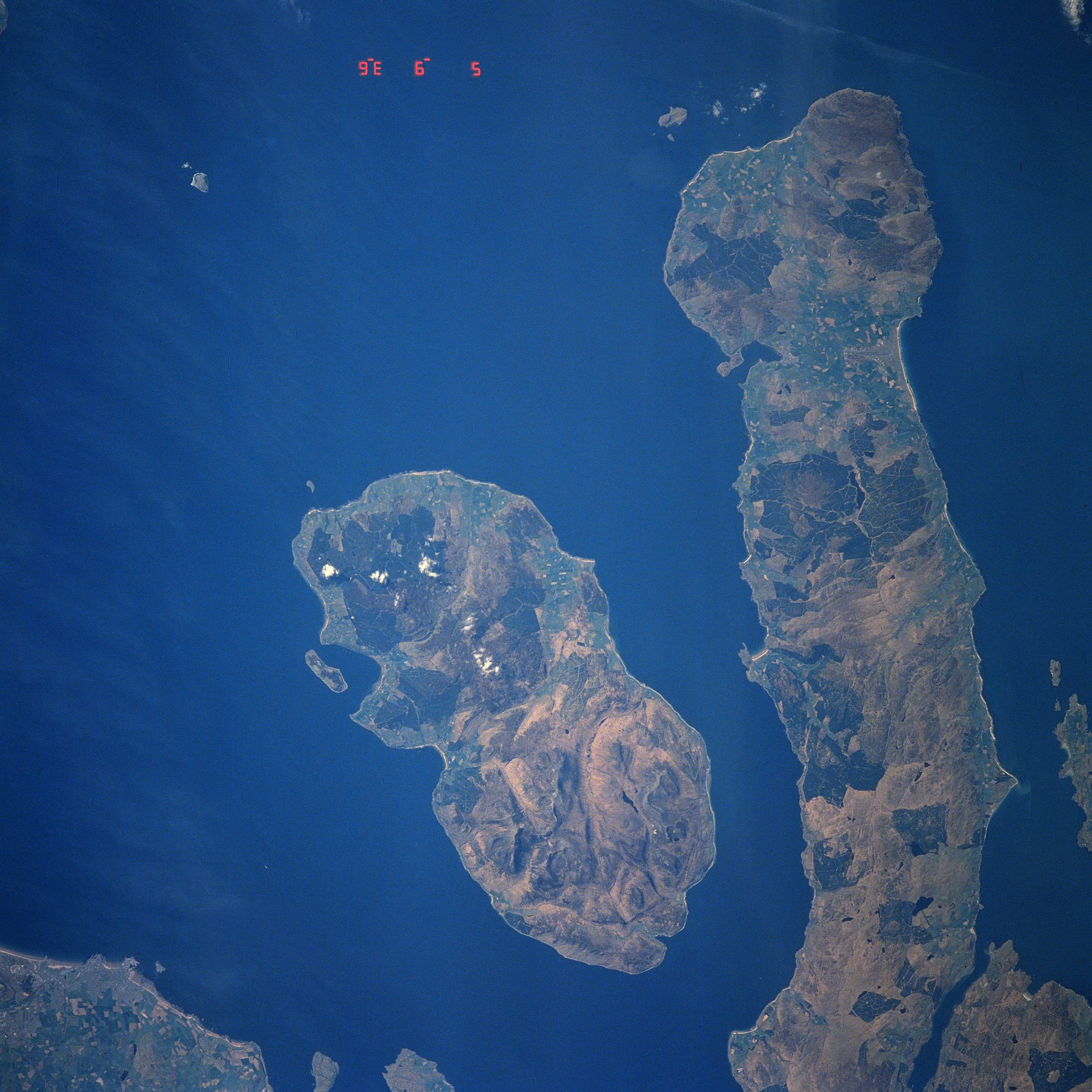
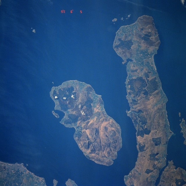
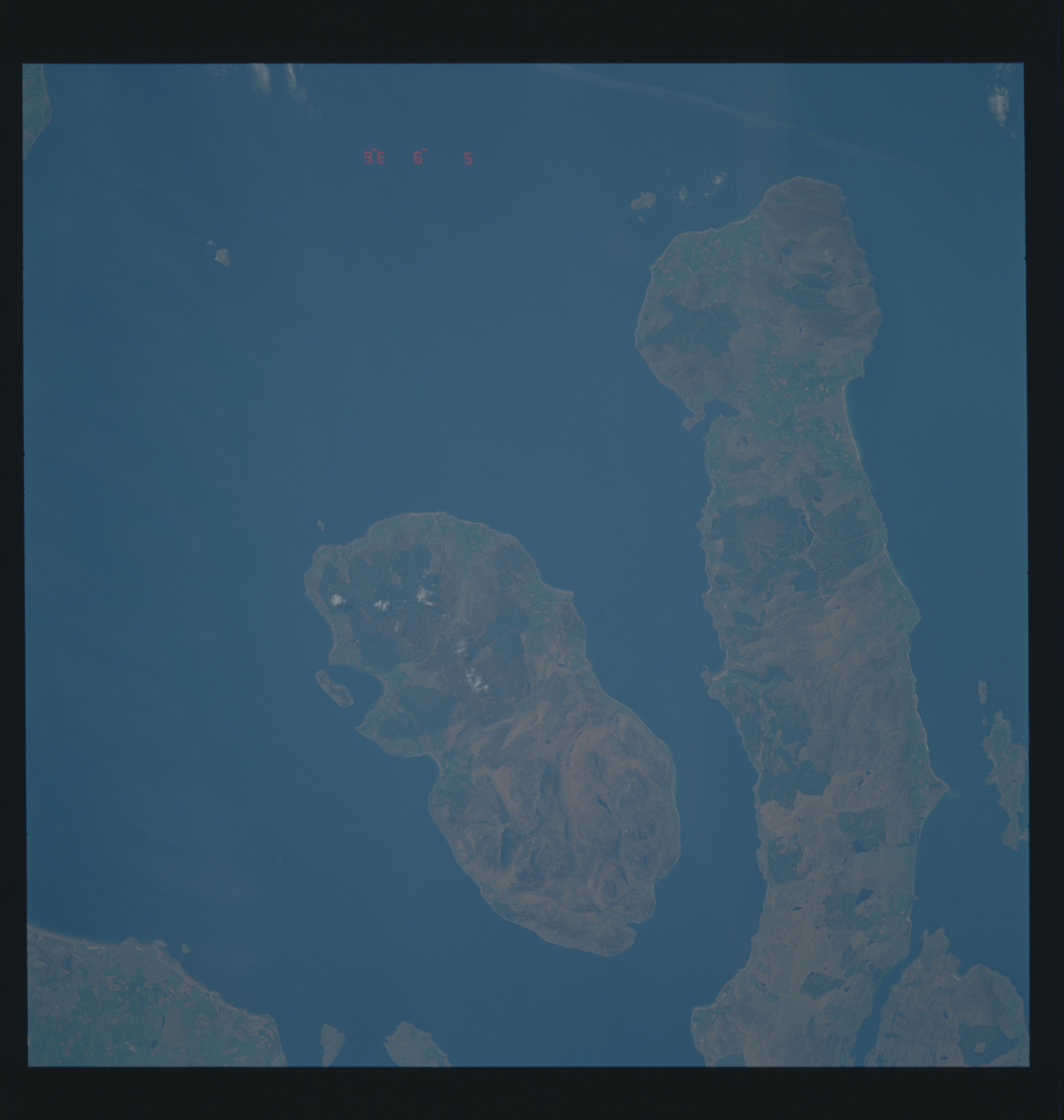
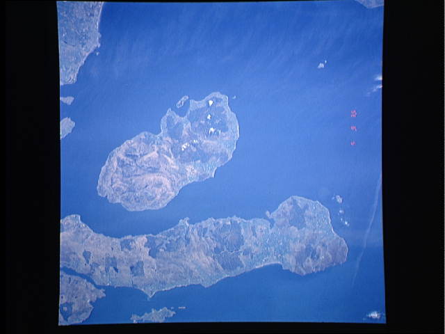
Image Caption: STS039-609-046 Arran Island, Kintyre Peninsula, Great Britain May 1991
Located southwest of Glasgow, Scotland (not in the image), Arran Island and the Kintyre Peninsula are visible in this near-nadir view. Kintyre Peninsula (right portion of the image) extends south (top of the image) from the Scottish Mainland and is 42 miles (68 km) long and 10 miles (16 km) wide. The terrain of the peninsula is hilly and uncultivated. To the left (east) of the Kintyre Peninsula is Kilbrannan Sound. This channel is 14 miles (23 km) long and 4 miles (6 km) wide and is part of the Firth of Clyde. To the left (east) of Kilbrannan Sound is Arran Island. Arran Island covers an area of 165 sq. miles (427 sq. km). The island is largely granitic and sparsely populated with its highest elevation at Goat Fell Mountain near the Island's northeast coast (bottom center) at 2863 feet (873 meters). Arran Island's scenery and its hunting and fishing have made the island a popular vacation area.
Located southwest of Glasgow, Scotland (not in the image), Arran Island and the Kintyre Peninsula are visible in this near-nadir view. Kintyre Peninsula (right portion of the image) extends south (top of the image) from the Scottish Mainland and is 42 miles (68 km) long and 10 miles (16 km) wide. The terrain of the peninsula is hilly and uncultivated. To the left (east) of the Kintyre Peninsula is Kilbrannan Sound. This channel is 14 miles (23 km) long and 4 miles (6 km) wide and is part of the Firth of Clyde. To the left (east) of Kilbrannan Sound is Arran Island. Arran Island covers an area of 165 sq. miles (427 sq. km). The island is largely granitic and sparsely populated with its highest elevation at Goat Fell Mountain near the Island's northeast coast (bottom center) at 2863 feet (873 meters). Arran Island's scenery and its hunting and fishing have made the island a popular vacation area.
