STS038-84-72
| NASA Photo ID | STS038-84-72 |
| Focal Length | 100mm |
| Date taken | 1990.11.19 |
| Time taken | 04:43:34 GMT |
Resolutions offered for this image:
5142 x 5142 pixels 640 x 640 pixels 5700 x 6000 pixels 500 x 526 pixels 640 x 480 pixels
5142 x 5142 pixels 640 x 640 pixels 5700 x 6000 pixels 500 x 526 pixels 640 x 480 pixels


Cloud masks available for this image:
Spacecraft nadir point: 25.9° S, 27.7° E
Photo center point: 25.5° S, 27.0° E
Photo center point by machine learning:
Photo center point: 25.5° S, 27.0° E
Photo center point by machine learning:
Nadir to Photo Center: Northwest
Spacecraft Altitude: 140 nautical miles (259km)
Country or Geographic Name: | REPUBLIC SOUTH AFRICA |
Features: | ELANDSRIVER |
| Features Found Using Machine Learning: | |
Cloud Cover Percentage: | 0 (no clouds present) |
Sun Elevation Angle: | 19° |
Sun Azimuth: | 103° |
Camera: | Hasselblad |
Focal Length: | 100mm |
Camera Tilt: | 19 degrees |
Format: | 5017: Kodak, natural color positive, Ektachrome, X Professional, ASA 64, standard base |
Film Exposure: | Normal |
| Additional Information | |
| Width | Height | Annotated | Cropped | Purpose | Links |
|---|---|---|---|---|---|
| 5142 pixels | 5142 pixels | No | No | Earth From Space collection | Download Image |
| 640 pixels | 640 pixels | No | No | Earth From Space collection | Download Image |
| 5700 pixels | 6000 pixels | No | No | Download Image | |
| 500 pixels | 526 pixels | No | No | Download Image | |
| 640 pixels | 480 pixels | No | No | Download Image |
Download Packaged File
Download a Google Earth KML for this Image
View photo footprint information
Download a GeoTIFF for this photo
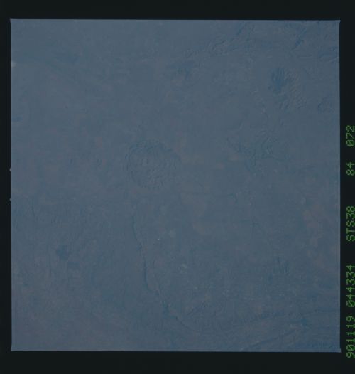
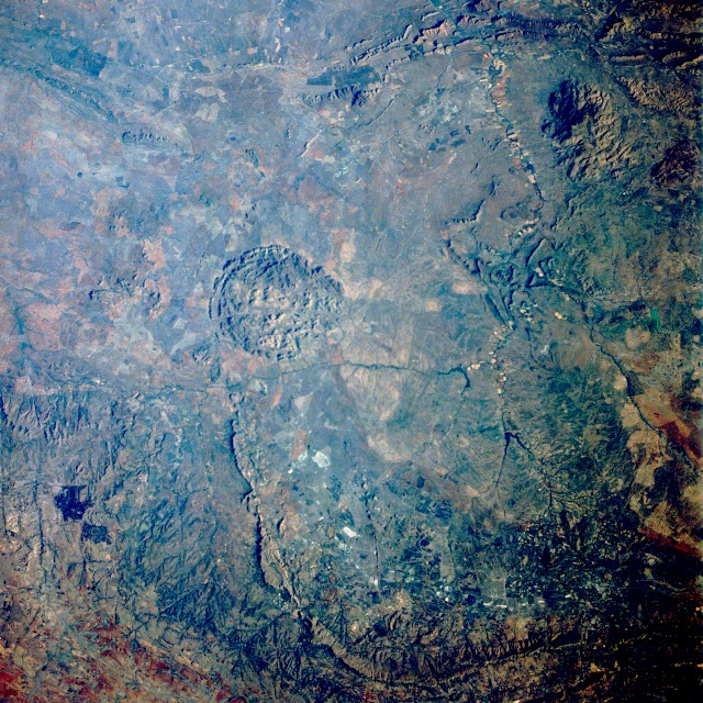
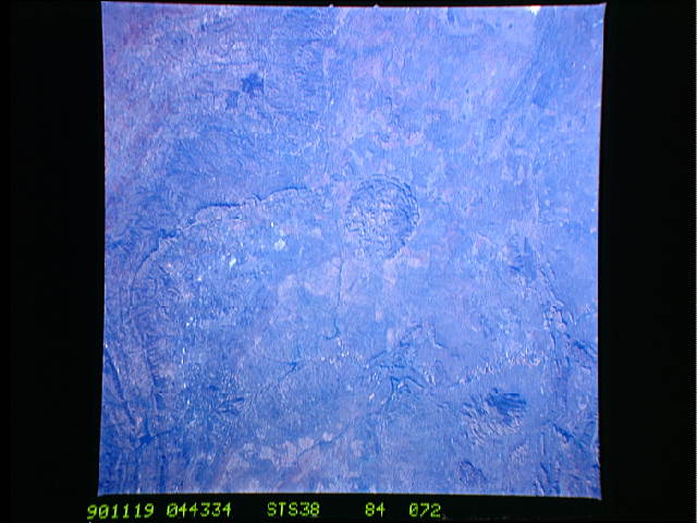
Image Caption: STS038-084-072 Pilanesberg Mountains, South Africa November 1990
This near-vertical photograph has a prominent circular physiographic feature near its center--the Pilanesberg Mountains. With a maximum elevation of 5535 feet (1685 meters) above sea level, these mountains are located approximately 75 miles (120 kilometers) northwest of Pretoria in northeastern South Africa. Other physiographic features are elevated roughly 2000 feet (610 meters) above the surrounding terrain. The mountains are part of a highly mineralized region where diamonds, platinum, chrome, uranium, and tin are mined. The small rural town of Rustenburg, with an estimated population 30 000, is barely visible south of the Pilanesberg Mountains and east of the linear mountains that are also south of the Pilanesbergs. The eastward-flowing Elands River can be seen immediately south of the Pilanesbergs. In addition to the mining activity, this region produces such crops as fruits, tobacco, and cotton. Most climatologists place this region in a semiarid, steppe classification, where rainfall amounts generally do not exceed 20 inches (50 centimeters) annually.
This near-vertical photograph has a prominent circular physiographic feature near its center--the Pilanesberg Mountains. With a maximum elevation of 5535 feet (1685 meters) above sea level, these mountains are located approximately 75 miles (120 kilometers) northwest of Pretoria in northeastern South Africa. Other physiographic features are elevated roughly 2000 feet (610 meters) above the surrounding terrain. The mountains are part of a highly mineralized region where diamonds, platinum, chrome, uranium, and tin are mined. The small rural town of Rustenburg, with an estimated population 30 000, is barely visible south of the Pilanesberg Mountains and east of the linear mountains that are also south of the Pilanesbergs. The eastward-flowing Elands River can be seen immediately south of the Pilanesbergs. In addition to the mining activity, this region produces such crops as fruits, tobacco, and cotton. Most climatologists place this region in a semiarid, steppe classification, where rainfall amounts generally do not exceed 20 inches (50 centimeters) annually.
