STS038-82-21
| NASA Photo ID | STS038-82-21 |
| Focal Length | 250mm |
| Date taken | 1990.11.18 |
| Time taken | 08:25:55 GMT |
Resolutions offered for this image:
5208 x 5208 pixels 639 x 639 pixels 5700 x 6000 pixels 500 x 526 pixels 640 x 480 pixels
5208 x 5208 pixels 639 x 639 pixels 5700 x 6000 pixels 500 x 526 pixels 640 x 480 pixels

Cloud masks available for this image:
Spacecraft nadir point: 24.0° N, 97.0° E
Photo center point: 28.0° N, 96.0° E
Photo center point by machine learning:
Photo center point: 28.0° N, 96.0° E
Photo center point by machine learning:
Nadir to Photo Center: North
Spacecraft Altitude: 117 nautical miles (217km)
Country or Geographic Name: | INDIA |
Features: | BRAHMAPUTRA RIVER BASIN |
| Features Found Using Machine Learning: | |
Cloud Cover Percentage: | 0 (no clouds present) |
Sun Elevation Angle: | 27° |
Sun Azimuth: | 231° |
Camera: | Hasselblad |
Focal Length: | 250mm |
Camera Tilt: | Low Oblique |
Format: | 5017: Kodak, natural color positive, Ektachrome, X Professional, ASA 64, standard base |
Film Exposure: | Normal |
| Additional Information | |
| Width | Height | Annotated | Cropped | Purpose | Links |
|---|---|---|---|---|---|
| 5208 pixels | 5208 pixels | No | No | Earth From Space collection | Download Image |
| 639 pixels | 639 pixels | No | No | Earth From Space collection | Download Image |
| 5700 pixels | 6000 pixels | No | No | Download Image | |
| 500 pixels | 526 pixels | No | No | Download Image | |
| 640 pixels | 480 pixels | No | No | Download Image |
Download Packaged File
Download a Google Earth KML for this Image
View photo footprint information
Download a GeoTIFF for this photo
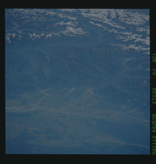
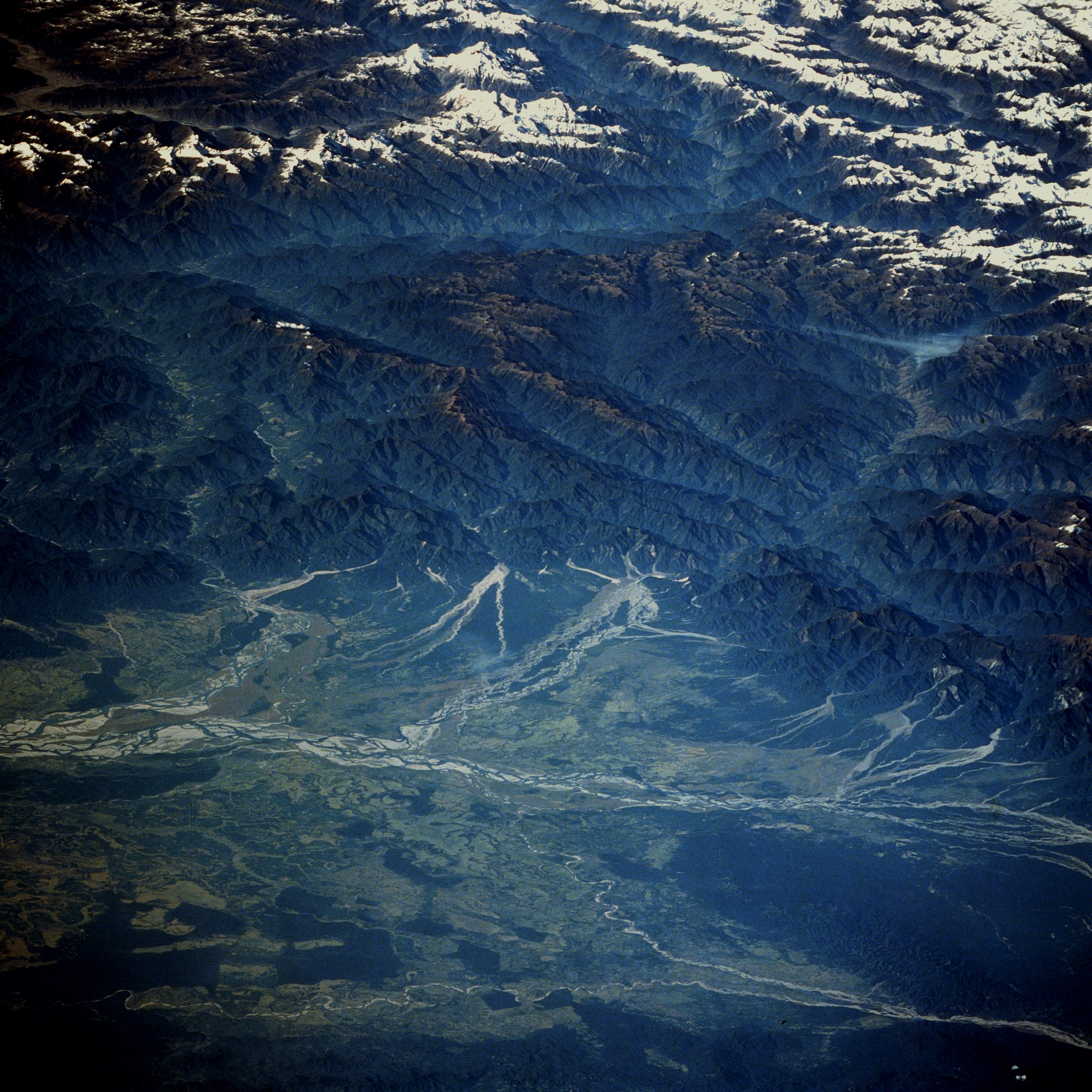
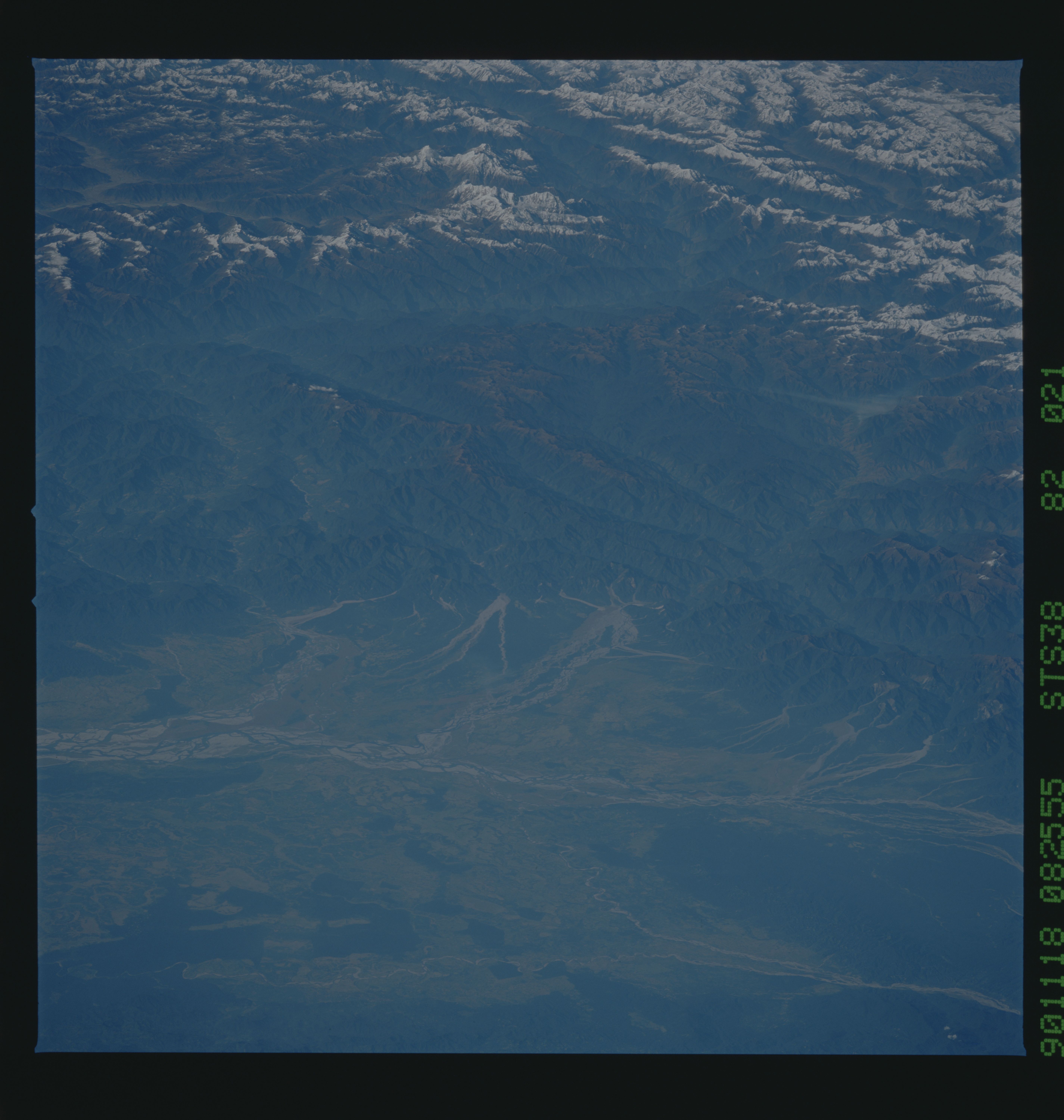
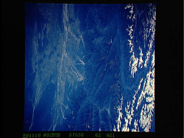
Image Caption: STS038-082-021 Brahmaputra River, Northeast India November 1990
Although there is a slight haze in the atmosphere captured in this low-oblique photograph of the Brahmaputra River in extreme northeastern India, the dramatic, almost 3-dimensional perspective shows the physiographic relationship of the eastern Himalaya Mountains to one of the wettest river basins on Earth. Known as the Dihang River where it cuts through the eastern Himalayas, creating great gorges, numerous tributary streams, and alluvial fans, the deeply incised Brahmaputra River is highlighted as these channels break through the geologically young, uplifted folds of the Himalayas just north of Sadiya, India. The summer monsoons that India and Bangladesh depend on for most of their annual precipitation largely determines the quantity of water that will be transported through the Assam Valley of northeastern India, which receives rainfall amounts in excess of 200 inches (500 centimeters) annually. The forested, green slopes of the Himalayas in this area usually consist of deciduous trees at the lower elevations and conifers at the higher elevations. The snowcapped peaks and ridge lines usually appear at elevations of more than 13 000 feet (3960 meters) above sea level; only a few appear above 20 000 feet (6095 meters). Visible are the Brahmaputra River Valley's broad floodplain with heavily silted, meandering, multibraided channels and the dark green, forested foothills of the Patkai Mountain (southern edge of the photograph).
Although there is a slight haze in the atmosphere captured in this low-oblique photograph of the Brahmaputra River in extreme northeastern India, the dramatic, almost 3-dimensional perspective shows the physiographic relationship of the eastern Himalaya Mountains to one of the wettest river basins on Earth. Known as the Dihang River where it cuts through the eastern Himalayas, creating great gorges, numerous tributary streams, and alluvial fans, the deeply incised Brahmaputra River is highlighted as these channels break through the geologically young, uplifted folds of the Himalayas just north of Sadiya, India. The summer monsoons that India and Bangladesh depend on for most of their annual precipitation largely determines the quantity of water that will be transported through the Assam Valley of northeastern India, which receives rainfall amounts in excess of 200 inches (500 centimeters) annually. The forested, green slopes of the Himalayas in this area usually consist of deciduous trees at the lower elevations and conifers at the higher elevations. The snowcapped peaks and ridge lines usually appear at elevations of more than 13 000 feet (3960 meters) above sea level; only a few appear above 20 000 feet (6095 meters). Visible are the Brahmaputra River Valley's broad floodplain with heavily silted, meandering, multibraided channels and the dark green, forested foothills of the Patkai Mountain (southern edge of the photograph).
