STS038-74-87

| NASA Photo ID | STS038-74-87 |
| Focal Length | 250mm |
| Date taken | 1990.11.16 |
| Time taken | 21:40:22 GMT |
Resolutions offered for this image:
4085 x 4079 pixels 640 x 639 pixels 5700 x 6000 pixels 500 x 526 pixels 640 x 480 pixels 2513 x 2539 pixels 2637 x 2607 pixels 651 x 650 pixels
4085 x 4079 pixels 640 x 639 pixels 5700 x 6000 pixels 500 x 526 pixels 640 x 480 pixels 2513 x 2539 pixels 2637 x 2607 pixels 651 x 650 pixels


Cloud masks available for this image:
Spacecraft nadir point: 21.9° S, 168.6° E
Photo center point: 20.9° S, 167.2° E
Photo center point by machine learning:
Photo center point: 20.9° S, 167.2° E
Photo center point by machine learning:
Nadir to Photo Center: Northwest
Spacecraft Altitude: 142 nautical miles (263km)
Country or Geographic Name: | LOYALTY ISLANDS |
Features: | LIFOU ISLAND, WE, AFLD |
| Features Found Using Machine Learning: | |
Cloud Cover Percentage: | 0 (no clouds present) |
Sun Elevation Angle: | 50° |
Sun Azimuth: | 94° |
Camera: | Hasselblad |
Focal Length: | 250mm |
Camera Tilt: | 36 degrees |
Format: | 5017: Kodak, natural color positive, Ektachrome, X Professional, ASA 64, standard base |
Film Exposure: | Normal |
| Additional Information | |
| Width | Height | Annotated | Cropped | Purpose | Links |
|---|---|---|---|---|---|
| 4085 pixels | 4079 pixels | No | No | Earth From Space collection | Download Image |
| 640 pixels | 639 pixels | No | No | Earth From Space collection | Download Image |
| 5700 pixels | 6000 pixels | No | No | Download Image | |
| 500 pixels | 526 pixels | No | No | Download Image | |
| 640 pixels | 480 pixels | No | No | Download Image | |
| 2513 pixels | 2539 pixels | No | Yes | ReefBase 1 | Download Image |
| 2637 pixels | 2607 pixels | No | No | ReefBase 1 | Download Image |
| 651 pixels | 650 pixels | No | No | Download Image |
Download Packaged File
Download a Google Earth KML for this Image
View photo footprint information
Download a GeoTIFF for this photo
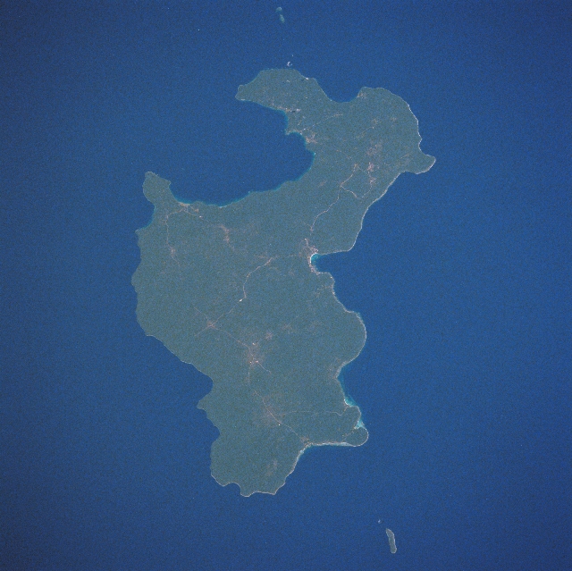
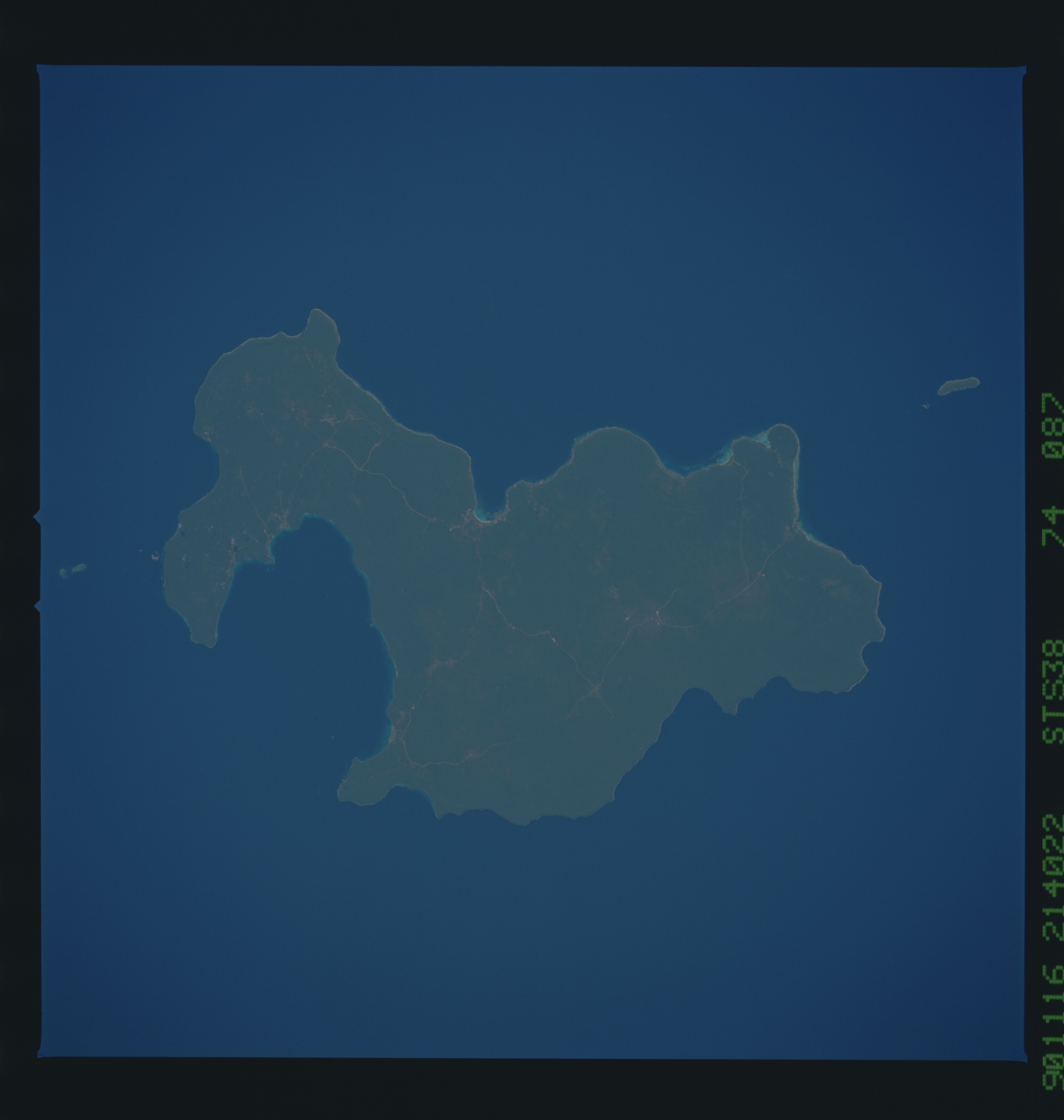
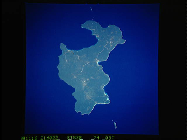
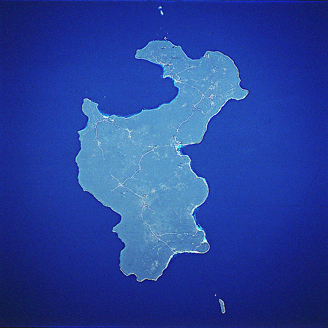
Image Caption: STS038-074-087 Lifou Island, Loyality Islands November 1990
The largest and most important island of the Loyality Islands, Lifou, can be seen in this northwest-looking view. Irregular in shape, Lifou Island is 50 miles (81 km) long and 10 to 15 miles (16 to 24 km) wide. The island is flat with no hills or rivers, but has abundant vegetation, fertile soils, and terraced cliffs. Lifou Island is a former coral atoll that was part of a submerged volcano. Nearly 2 million years ago, the island was uplifted to its present shape and elevation. Tourism is a major industry on the island. Chief exports include copra, rubber, and sugarcane. The water, since there are no rivers on Lifou, comes from rain that seeps through the calcareous soil and forms freshwater ponds. The major city on Lifou is We, which is located near the center of the image.
The largest and most important island of the Loyality Islands, Lifou, can be seen in this northwest-looking view. Irregular in shape, Lifou Island is 50 miles (81 km) long and 10 to 15 miles (16 to 24 km) wide. The island is flat with no hills or rivers, but has abundant vegetation, fertile soils, and terraced cliffs. Lifou Island is a former coral atoll that was part of a submerged volcano. Nearly 2 million years ago, the island was uplifted to its present shape and elevation. Tourism is a major industry on the island. Chief exports include copra, rubber, and sugarcane. The water, since there are no rivers on Lifou, comes from rain that seeps through the calcareous soil and forms freshwater ponds. The major city on Lifou is We, which is located near the center of the image.
