STS037-84-21

| NASA Photo ID | STS037-84-21 |
| Focal Length | 250mm |
| Date taken | 1991.04.__ |
| Time taken | GMT |
Resolutions offered for this image:
1536 x 1536 pixels 639 x 639 pixels 5700 x 6000 pixels 500 x 526 pixels 640 x 480 pixels
1536 x 1536 pixels 639 x 639 pixels 5700 x 6000 pixels 500 x 526 pixels 640 x 480 pixels


Cloud masks available for this image:
Spacecraft nadir point:
Photo center point: 20.5° N, 13.0° W
Photo center point by machine learning:
Photo center point: 20.5° N, 13.0° W
Photo center point by machine learning:
Nadir to Photo Center:
Spacecraft Altitude: nautical miles (0km)
Country or Geographic Name: | MAURITANIA |
Features: | NEAR VILLAGE OF ATAR |
| Features Found Using Machine Learning: | |
Cloud Cover Percentage: | 0 (no clouds present) |
Sun Elevation Angle: | ° |
Sun Azimuth: | ° |
Camera: | Hasselblad |
Focal Length: | 250mm |
Camera Tilt: | Low Oblique |
Format: | 5017: Kodak, natural color positive, Ektachrome, X Professional, ASA 64, standard base |
Film Exposure: | Under Exposed |
| Additional Information | |
| Width | Height | Annotated | Cropped | Purpose | Links |
|---|---|---|---|---|---|
| 1536 pixels | 1536 pixels | No | No | Earth From Space collection | Download Image |
| 639 pixels | 639 pixels | No | No | Earth From Space collection | Download Image |
| 5700 pixels | 6000 pixels | No | No | Download Image | |
| 500 pixels | 526 pixels | No | No | Download Image | |
| 640 pixels | 480 pixels | No | No | Download Image |
Download Packaged File
Download a Google Earth KML for this Image
View photo footprint information
Download a GeoTIFF for this photo
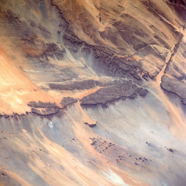
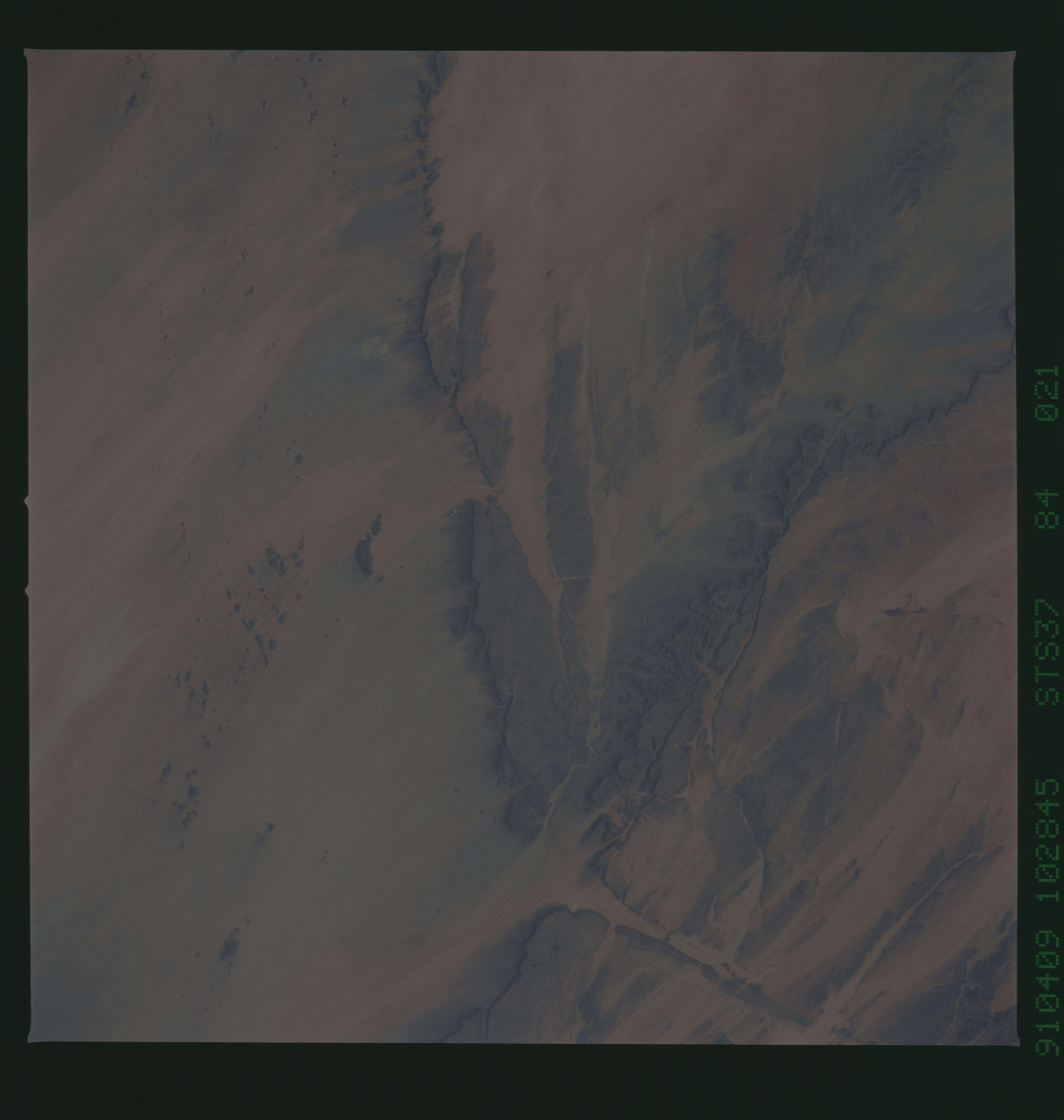
Image Caption: STS037-084-021 Amojjar Pass, Mauritania April 1991
Millions of years ago most of this very arid region in northwest Mauritania was made up of large sandstone plateaus that looked like the brownish sandstone tabletop terrain that exists in the area today. This entire region has undergone a dramatic climatic change. It is apparent when looking at the existing landscape that substantial rainfall altered the former landscape into one of broad canyons bounded by craggy, vertical cliffs. The area now averages approximately 4 inches (10 centimeters) of rainfall annually, sometimes decreasing to as little as 1 inch (25 centimeters). The base of these cliffs is hidden by numerous talus slopes visible even at this small scale. The Amojjar Pass, near the town of Atar, is in the canyon just east of the large flat-topped plateau (center of the photograph). The pass is an important ground transportation link because it provides a somewhat protected roadway connecting the two Mauritania cities of Fdérik and Nouakchott, the capital. The effects of wind erosion on the landscape are evidenced by the northeast-southwest orientation of the sand streaks.
Millions of years ago most of this very arid region in northwest Mauritania was made up of large sandstone plateaus that looked like the brownish sandstone tabletop terrain that exists in the area today. This entire region has undergone a dramatic climatic change. It is apparent when looking at the existing landscape that substantial rainfall altered the former landscape into one of broad canyons bounded by craggy, vertical cliffs. The area now averages approximately 4 inches (10 centimeters) of rainfall annually, sometimes decreasing to as little as 1 inch (25 centimeters). The base of these cliffs is hidden by numerous talus slopes visible even at this small scale. The Amojjar Pass, near the town of Atar, is in the canyon just east of the large flat-topped plateau (center of the photograph). The pass is an important ground transportation link because it provides a somewhat protected roadway connecting the two Mauritania cities of Fdérik and Nouakchott, the capital. The effects of wind erosion on the landscape are evidenced by the northeast-southwest orientation of the sand streaks.
