STS036-90-19
| NASA Photo ID | STS036-90-19 |
| Focal Length | 250mm |
| Date taken | 1990.03.02 |
| Time taken | 15:23:49 GMT |
Cloud masks available for this image:
Spacecraft nadir point: 43.0° N, 70.6° W
Photo center point: 42.0° N, 71.0° W
Photo center point by machine learning:
Photo center point: 42.0° N, 71.0° W
Photo center point by machine learning:
Nadir to Photo Center: South
Spacecraft Altitude: 125 nautical miles (231km)
Camera: | Hasselblad |
Focal Length: | 250mm |
Camera Tilt: | 27 degrees |
Format: | 5036: Kodak, natural color positive, Ektachrome 5036,200 Professional, ASA 200, stand |
Film Exposure: | Out of Focus |
| Additional Information | |
| Width | Height | Annotated | Cropped | Purpose | Links |
|---|---|---|---|---|---|
| 5700 pixels | 5900 pixels | No | No | Download Image | |
| 500 pixels | 518 pixels | No | No | Download Image | |
| 640 pixels | 480 pixels | No | No | Download Image |
Download Packaged File
Download a Google Earth KML for this Image
View photo footprint information
Download a GeoTIFF for this photo
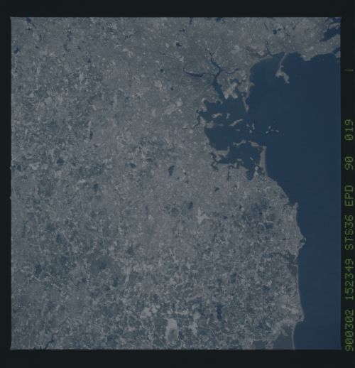
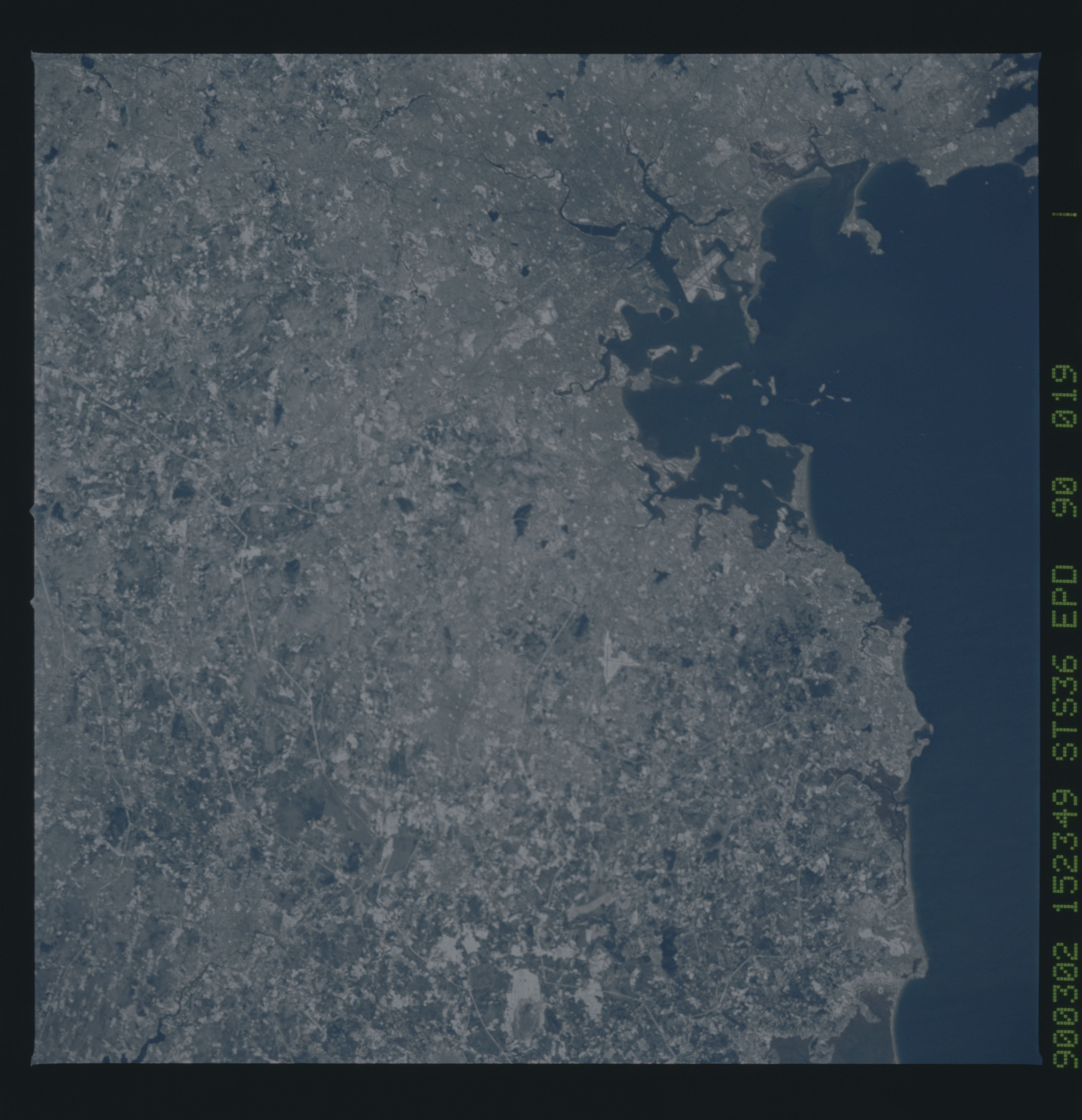
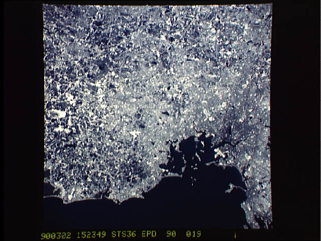
Image Caption: Under a light dusting of snow, the Boston, Massachusetts, USA (42.0N, 71.0W) area can be seen in great detail. Originally, the town site of Boston was on one of several islands offshore for defensive purposes. Over the years, however, ambitious public works projects have filled in between many of the islands to create a single municipality. This area is rich in early American history and much of it can be traced in this detailed overhead view.
