STS036-79-40
| NASA Photo ID | STS036-79-40 |
| Focal Length | 100mm |
| Date taken | 1990.03.02 |
| Time taken | 07:56:05 GMT |

Cloud masks available for this image:
Spacecraft nadir point: 47.0° N, 38.0° E
Photo center point: 48.0° N, 36.0° E
Photo center point by machine learning:
Photo center point: 48.0° N, 36.0° E
Photo center point by machine learning:
Nadir to Photo Center: Northwest
Spacecraft Altitude: 126 nautical miles (233km)
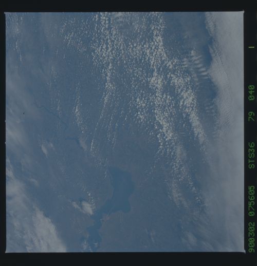
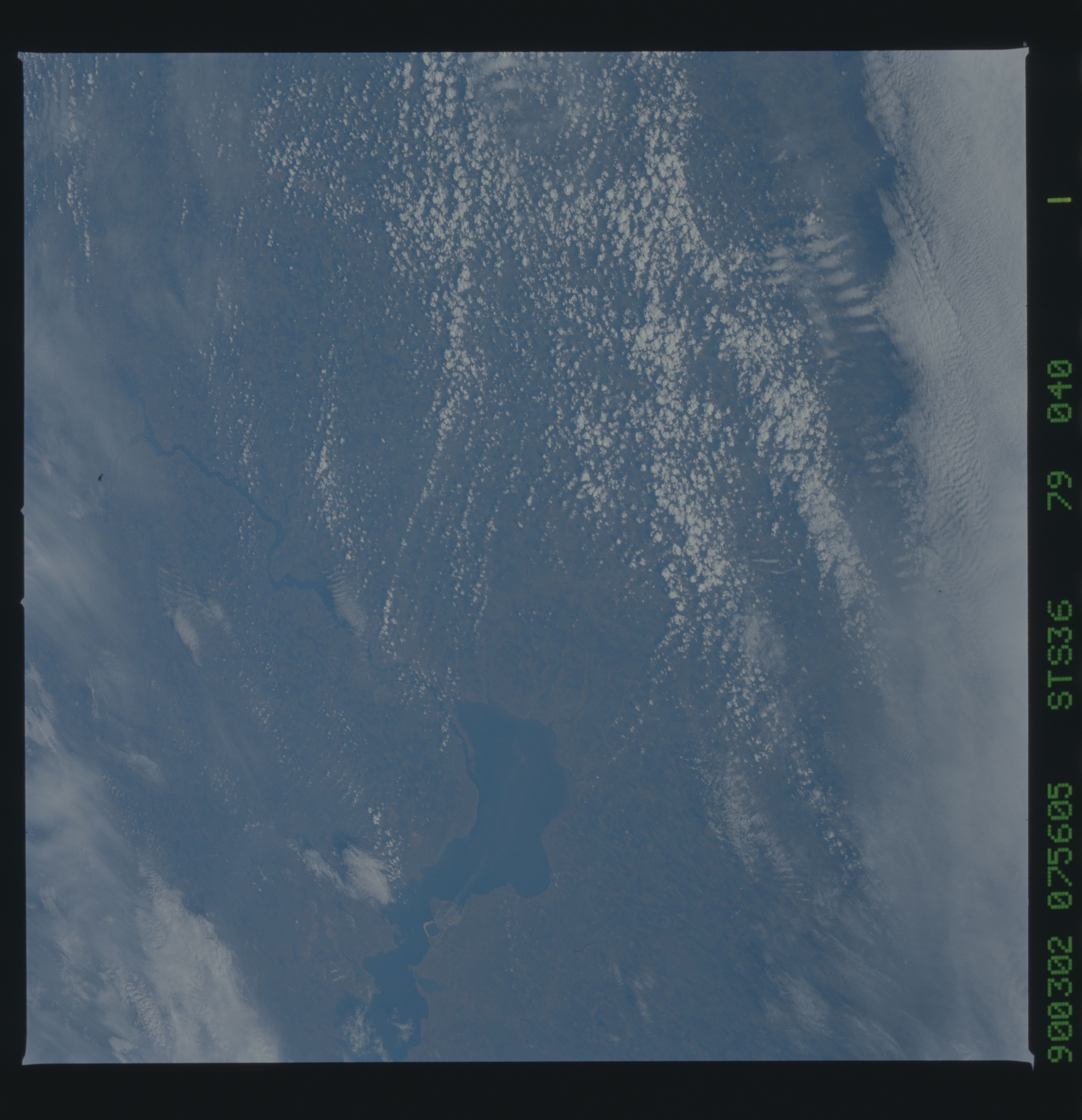
Country or Geographic Name: | UKRAINE |
Features: | DNIEPER RIVER |
| Features Found Using Machine Learning: | |
Cloud Cover Percentage: | 60 (51-75)% |
Sun Elevation Angle: | 31° |
Sun Azimuth: | 149° |
Camera: | Hasselblad |
Focal Length: | 100mm |
Camera Tilt: | 47 degrees |
Format: | 5017: Kodak, natural color positive, Ektachrome, X Professional, ASA 64, standard base |
Film Exposure: | Normal |
| Additional Information | |
| Width | Height | Annotated | Cropped | Purpose | Links |
|---|---|---|---|---|---|
| 5700 pixels | 5900 pixels | No | No | Download Image | |
| 500 pixels | 518 pixels | No | No | Download Image | |
| 640 pixels | 480 pixels | No | No | Download Image |
Download Packaged File
Download a Google Earth KML for this Image
View photo footprint information
Download a GeoTIFF for this photo
Image Caption: This cloudy view of the southern Ukraine offers a view of the Dneper River and Kakhovskoye Reservoir, Ukraine, CIS (48.0N, 36.0E). Extensive and intensive agriculture can be seen throughout this region, long regarded as the breadbasket of the CIS, the Ukraine is one of the most agriculturely productive regions in the world. Intensive agriculture requires extensive water resources so reservoirs have been built along the region's many rivers.
