STS036-152-165
| NASA Photo ID | STS036-152-165 |
| Focal Length | 250mm |
| Date taken | 1990.03.03 |
| Time taken | 18:32:24 GMT |
Resolutions offered for this image:
640 x 480 pixels
640 x 480 pixels
Cloud masks available for this image:
Spacecraft nadir point: 36.2° S, 71.2° W
Photo center point: 36.0° S, 71.0° W
Photo center point by machine learning:
Photo center point: 36.0° S, 71.0° W
Photo center point by machine learning:
Nadir to Photo Center: Northeast
Spacecraft Altitude: 123 nautical miles (228km)
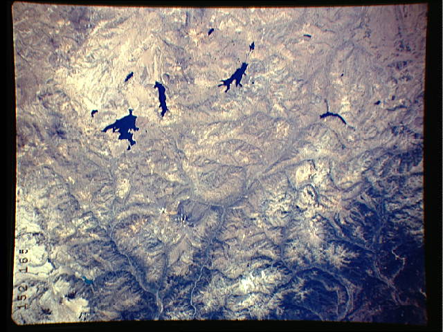
Country or Geographic Name: | CHILE |
Features: | ANDES MTNS, LAG. MAULE |
| Features Found Using Machine Learning: | |
Cloud Cover Percentage: | 0 (no clouds present) |
Sun Elevation Angle: | 53° |
Sun Azimuth: | 318° |
Camera: | Linhof |
Focal Length: | 250mm |
Camera Tilt: | 8 degrees |
Format: | QX868: Kodak, natural color positive, Ektachrome QX868(5017 emulsion), ASA 64, thin base |
Film Exposure: | Normal |
| Additional Information | |
| Width | Height | Annotated | Cropped | Purpose | Links |
|---|---|---|---|---|---|
| 640 pixels | 480 pixels | No | No | ISD 1 | Download Image |
Download Packaged File
Download a Google Earth KML for this Image
View photo footprint information
Download a GeoTIFF for this photo
Image Caption:
S36-152-165: Isabela, Galpagos Of note in this photo are the
slopes of the volcanoes. This region is much greener than previ-
ous shots, even one taken even one year ago on STS-27. The vege-
tation is becoming established on older volcanic flows . . . it
is somewhat flow-specific. Younger, dark flows are still free of
plant life.
