STS035-606-55
| NASA Photo ID | STS035-606-55 |
| Focal Length | 250mm |
| Date taken | 1990.12.10 |
| Time taken | 07:13:00 GMT |
Cloud masks available for this image:
Spacecraft nadir point: 14.5° N, 5.4° W
Photo center point: 16.5° N, 4.0° W
Photo center point by machine learning:
Photo center point: 16.5° N, 4.0° W
Photo center point by machine learning:
Nadir to Photo Center: Northeast
Spacecraft Altitude: nautical miles (0km)
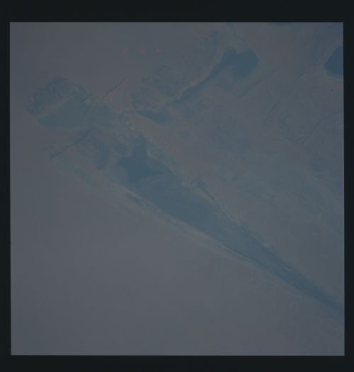
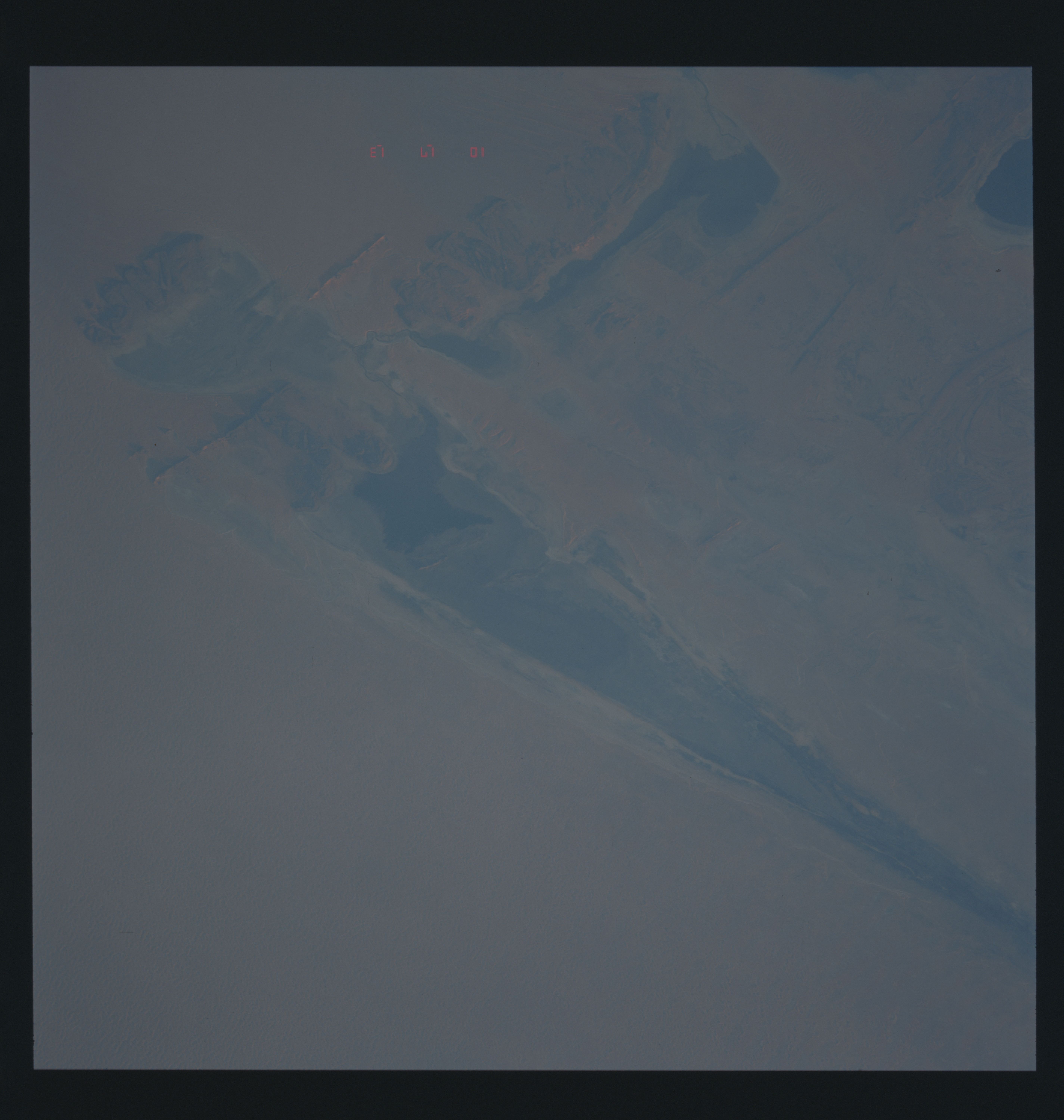
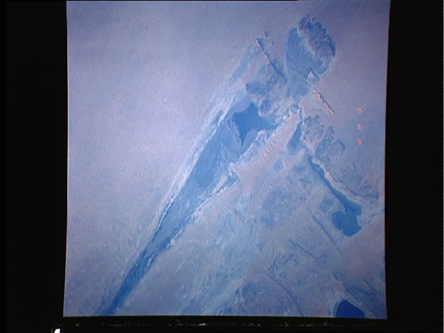
Country or Geographic Name: | MALI |
Features: | LAKE FAGUIBINE |
| Features Found Using Machine Learning: | |
Cloud Cover Percentage: | 0 (no clouds present) |
Sun Elevation Angle: | ° |
Sun Azimuth: | ° |
Camera: | Rolleiflex |
Focal Length: | 250mm |
Camera Tilt: | Low Oblique |
Format: | 5017: Kodak, natural color positive, Ektachrome, X Professional, ASA 64, standard base |
Film Exposure: | Normal |
| Additional Information | |
| Width | Height | Annotated | Cropped | Purpose | Links |
|---|---|---|---|---|---|
| 5700 pixels | 6000 pixels | No | No | Download Image | |
| 500 pixels | 526 pixels | No | No | Download Image | |
| 640 pixels | 480 pixels | No | No | Download Image |
Download Packaged File
Download a Google Earth KML for this Image
View photo footprint information
Download a GeoTIFF for this photo
Image Caption: In the harsh environment of North Africa's Sahara Desert, native peoples have developed unique strategies of survival. Looking like a giant spear point on the ground, Lake Fatuibine, Mali, Africa (16.5N, 4.0W) is a natural catch basin or inland delta near Timbuktu along the course of the Niger River. During the wet season, floodwaters are diverted into this natural reservoir and used to sustain the local population through the long hot dry season.
