STS034-84-54
| NASA Photo ID | STS034-84-54 |
| Focal Length | 100mm |
| Date taken | 1989.10.22 |
| Time taken | 02:39:33 GMT |
Resolutions offered for this image:
4000 x 4000 pixels 790 x 788 pixels 5700 x 5900 pixels 4000 x 4000 pixels 500 x 518 pixels 640 x 480 pixels
4000 x 4000 pixels 790 x 788 pixels 5700 x 5900 pixels 4000 x 4000 pixels 500 x 518 pixels 640 x 480 pixels

Cloud masks available for this image:
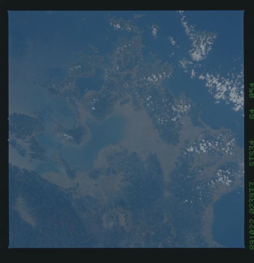
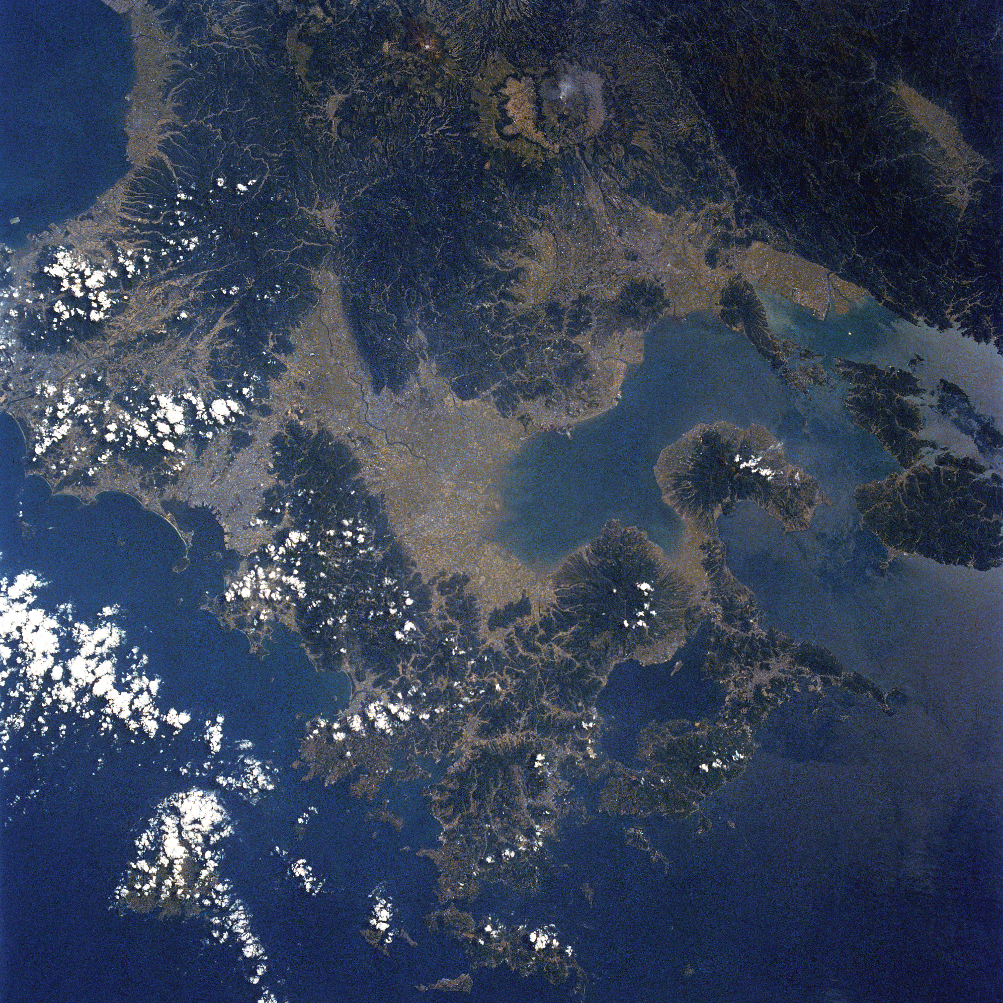
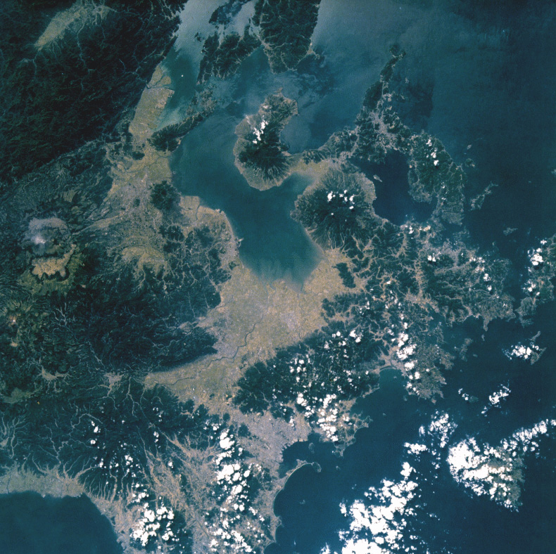
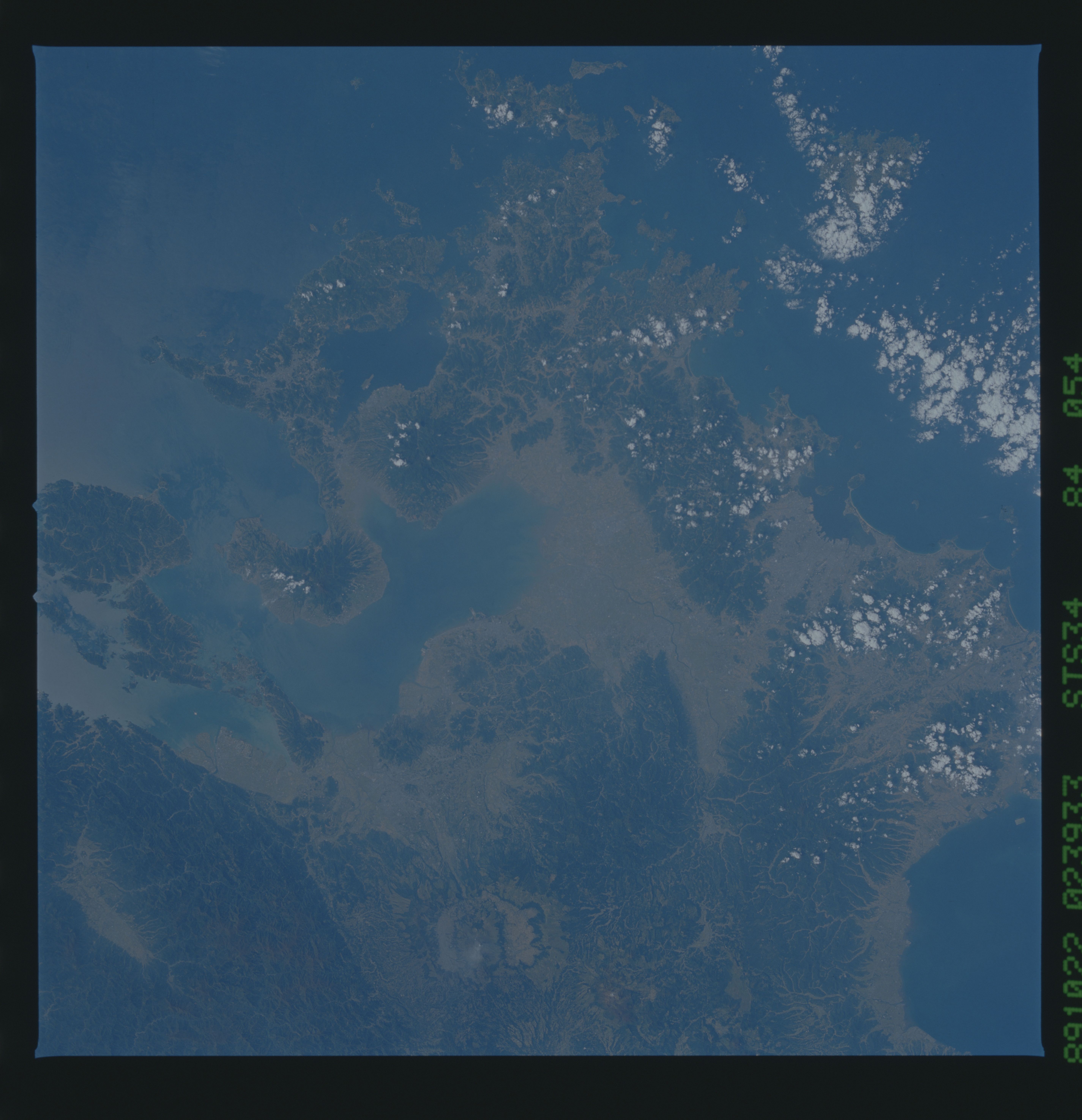
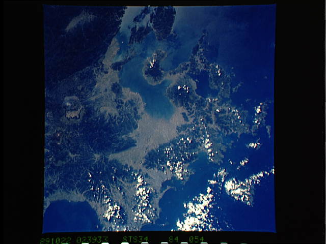
Spacecraft nadir point: 33.5° N, 129.8° E
Photo center point: 33.0° N, 130.5° E
Photo center point by machine learning:
Photo center point: 33.0° N, 130.5° E
Photo center point by machine learning:
Nadir to Photo Center: Southeast
Spacecraft Altitude: 179 nautical miles (332km)
Country or Geographic Name: | JAPAN |
Features: | KYUSHU |
| Features Found Using Machine Learning: | |
Cloud Cover Percentage: | 10 (1-10)% |
Sun Elevation Angle: | 45° |
Sun Azimuth: | 171° |
Camera: | Hasselblad |
Focal Length: | 100mm |
Camera Tilt: | 16 degrees |
Format: | 5017: Kodak, natural color positive, Ektachrome, X Professional, ASA 64, standard base |
Film Exposure: | Normal |
| Additional Information | |
| Width | Height | Annotated | Cropped | Purpose | Links |
|---|---|---|---|---|---|
| 4000 pixels | 4000 pixels | Cities collection | Download Image | ||
| 790 pixels | 788 pixels | No | No | Cities collection | Download Image |
| 5700 pixels | 5900 pixels | No | No | Download Image | |
| 4000 pixels | 4000 pixels | No | No | Download Image | |
| 500 pixels | 518 pixels | No | No | Download Image | |
| 640 pixels | 480 pixels | No | No | Download Image |
Download Packaged File
Download a Google Earth KML for this Image
View photo footprint information
Download a GeoTIFF for this photo
Image Caption: none
