STS033-92-111
| NASA Photo ID | STS033-92-111 |
| Focal Length | 250mm |
| Date taken | 1989.11.26 |
| Time taken | 08:09:23 GMT |

Cloud masks available for this image:
Spacecraft nadir point: 23.7° N, 101.9° E
Photo center point: 24.5° N, 101.5° E
Photo center point by machine learning:
Photo center point: 24.5° N, 101.5° E
Photo center point by machine learning:
Nadir to Photo Center: North
Spacecraft Altitude: 134 nautical miles (248km)
Country or Geographic Name: | CHINA |
Features: | RED RIVER, AILAO MTNS |
| Features Found Using Machine Learning: | |
Cloud Cover Percentage: | 35 (26-50)% |
Sun Elevation Angle: | 26° |
Sun Azimuth: | 230° |
Camera: | Hasselblad |
Focal Length: | 250mm |
Camera Tilt: | 22 degrees |
Format: | 2443: Kodak Aerochrome 2443, color IR, thin base, EA-5 process thru June 1999, E-6 process afterward |
Film Exposure: | Normal |
| Additional Information | |
| Width | Height | Annotated | Cropped | Purpose | Links |
|---|---|---|---|---|---|
| 5700 pixels | 5900 pixels | No | No | Download Image | |
| 500 pixels | 518 pixels | No | No | Download Image | |
| 640 pixels | 480 pixels | No | No | Download Image |
Download Packaged File
Download a Google Earth KML for this Image
View photo footprint information
Download a GeoTIFF for this photo
Image Caption:
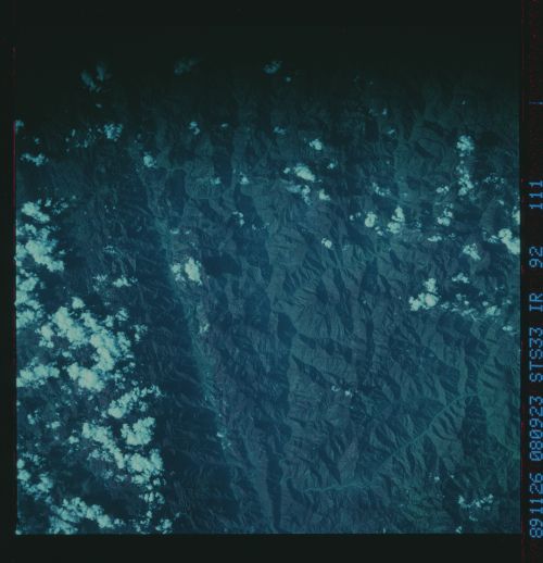
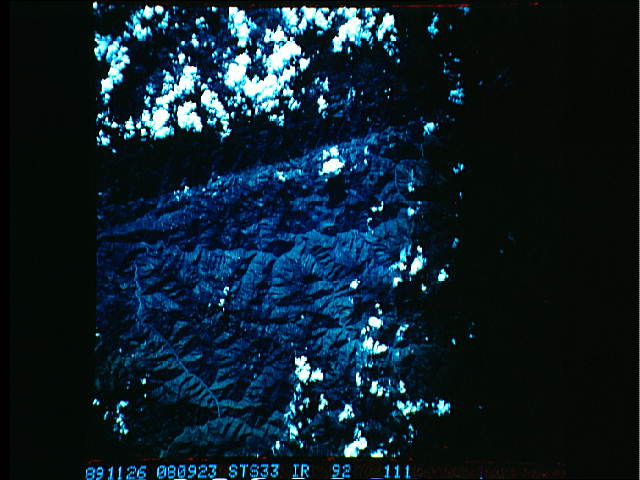
Red River Fault System
This scene includes the northwestern part of the Red River fault
system at the southeastern part of the site. The Red River fault
is one of the major strike slip faults and structural boundaries
of the region; it is thought to be related to the collision of
India with Eurasia to the west. The continental collision folded
and deformed the surrounding region, pushing out the northern re-
gions to the east. Part of this movement occurred along the Red
River fault, which now confines the Red River. (S33-92-108, 109,
110, 111)
