STS033-82-21
| NASA Photo ID | STS033-82-21 |
| Focal Length | 250mm |
| Date taken | 1989.11.25 |
| Time taken | 00:57:35 GMT |
Resolutions offered for this image:
5321 x 5321 pixels 639 x 639 pixels 5700 x 5900 pixels 500 x 518 pixels 640 x 480 pixels
5321 x 5321 pixels 639 x 639 pixels 5700 x 5900 pixels 500 x 518 pixels 640 x 480 pixels

Cloud masks available for this image:
Spacecraft nadir point: 18.5° S, 129.1° E
Photo center point: 17.5° S, 129.0° E
Photo center point by machine learning:
Photo center point: 17.5° S, 129.0° E
Photo center point by machine learning:
Nadir to Photo Center: North
Spacecraft Altitude: 241 nautical miles (446km)
Country or Geographic Name: | AUSTRALIA-WA |
Features: | LAKE ARGYLE |
| Features Found Using Machine Learning: | |
Cloud Cover Percentage: | 0 (no clouds present) |
Sun Elevation Angle: | 59° |
Sun Azimuth: | 100° |
Camera: | Hasselblad |
Focal Length: | 250mm |
Camera Tilt: | 14 degrees |
Format: | 5017: Kodak, natural color positive, Ektachrome, X Professional, ASA 64, standard base |
Film Exposure: | Normal |
| Additional Information | |
| Width | Height | Annotated | Cropped | Purpose | Links |
|---|---|---|---|---|---|
| 5321 pixels | 5321 pixels | No | No | Earth From Space collection | Download Image |
| 639 pixels | 639 pixels | No | No | Earth From Space collection | Download Image |
| 5700 pixels | 5900 pixels | No | No | Download Image | |
| 500 pixels | 518 pixels | No | No | Download Image | |
| 640 pixels | 480 pixels | No | No | Download Image |
Download Packaged File
Download a Google Earth KML for this Image
View photo footprint information
Download a GeoTIFF for this photo
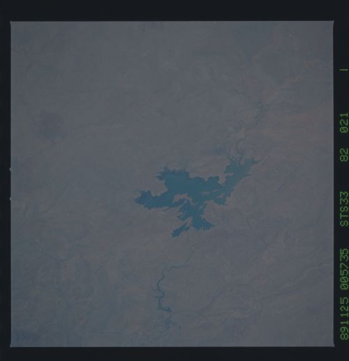
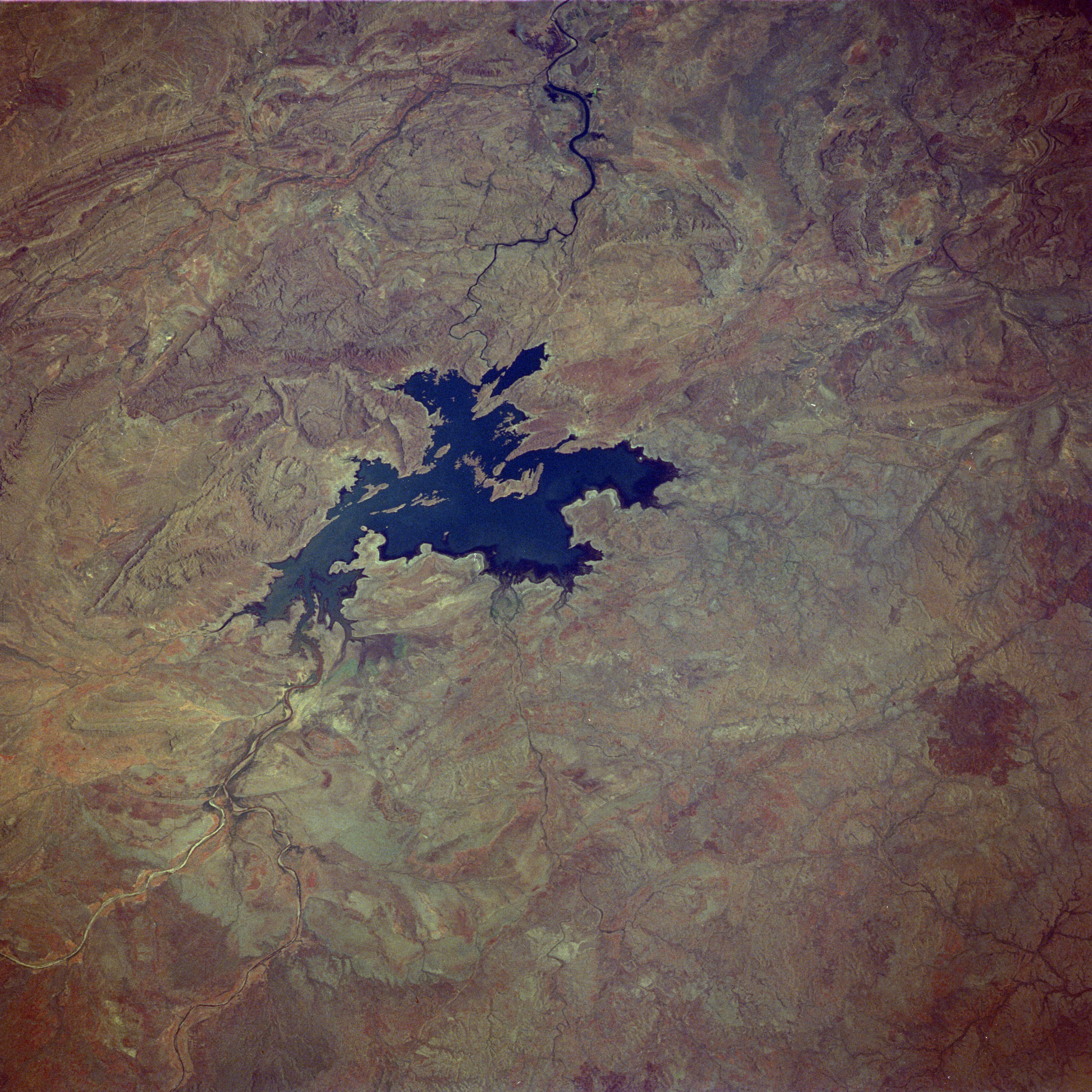
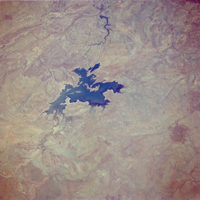
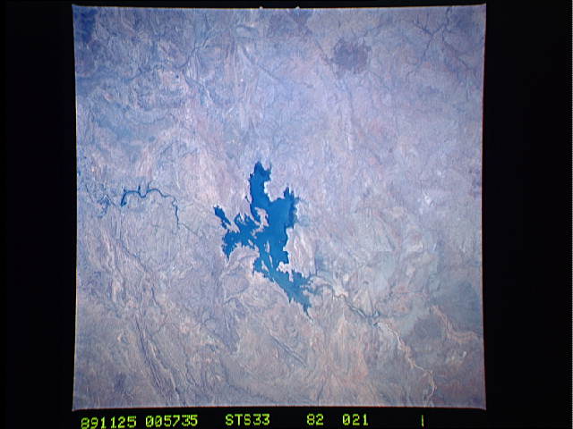
Image Caption: STS033-082-021 Ord River and Lake Argyle, Western Australia November 1989
Lake Argyle and the rugged eastern portion of the Kimberley Plateau are visible in this low-oblique, north-northwest-looking photograph. Lake Argyle is part of the Ord River irrigation scheme, which provides a consistent supply of water for agriculture in this region. Because of the monsoonal climate, the region receives rainfall approximately 4 months of the year. The Ord River rises in the high Kimberley Plateau near the Durack Range (not visible in the photograph) and flows generally northward 200 miles (320 kilometers) before emptying into the Joseph Bonaparte Gulf near the city of Wyndham (not visible in the photograph). The Kimberley Plateau, once a limestone and coral bank larger than the present Great Barrier Reef, comprises a number of varied ranges, most of which are composed of rugged sandstone dissected by deep gorges. The aborigine word for the Kimberley is Wandjima, "the land of the wind and the water." Population is sparse, and transportation routes are almost nonexistent in this hot, desolate wilderness.
Lake Argyle and the rugged eastern portion of the Kimberley Plateau are visible in this low-oblique, north-northwest-looking photograph. Lake Argyle is part of the Ord River irrigation scheme, which provides a consistent supply of water for agriculture in this region. Because of the monsoonal climate, the region receives rainfall approximately 4 months of the year. The Ord River rises in the high Kimberley Plateau near the Durack Range (not visible in the photograph) and flows generally northward 200 miles (320 kilometers) before emptying into the Joseph Bonaparte Gulf near the city of Wyndham (not visible in the photograph). The Kimberley Plateau, once a limestone and coral bank larger than the present Great Barrier Reef, comprises a number of varied ranges, most of which are composed of rugged sandstone dissected by deep gorges. The aborigine word for the Kimberley is Wandjima, "the land of the wind and the water." Population is sparse, and transportation routes are almost nonexistent in this hot, desolate wilderness.
