STS033-79-33
| NASA Photo ID | STS033-79-33 |
| Focal Length | 250mm |
| Date taken | 1989.11.24 |
| Time taken | 01:53:54 GMT |
Resolutions offered for this image:
3904 x 3869 pixels 639 x 634 pixels 5700 x 5900 pixels 500 x 518 pixels 640 x 480 pixels
3904 x 3869 pixels 639 x 634 pixels 5700 x 5900 pixels 500 x 518 pixels 640 x 480 pixels
Cloud masks available for this image:
Spacecraft nadir point: 16.8° S, 127.1° E
Photo center point: 14.0° S, 126.5° E
Photo center point by machine learning:
Photo center point: 14.0° S, 126.5° E
Photo center point by machine learning:
Nadir to Photo Center: North
Spacecraft Altitude: 216 nautical miles (400km)
Country or Geographic Name: | AUSTRALIA-WA |
Features: | NAPIER BROOME BAY |
| Features Found Using Machine Learning: | |
Cloud Cover Percentage: | 10 (1-10)% |
Sun Elevation Angle: | 70° |
Sun Azimuth: | 104° |
Camera: | Hasselblad |
Focal Length: | 250mm |
Camera Tilt: | 38 degrees |
Format: | 5017: Kodak, natural color positive, Ektachrome, X Professional, ASA 64, standard base |
Film Exposure: | Normal |
| Additional Information | |
| Width | Height | Annotated | Cropped | Purpose | Links |
|---|---|---|---|---|---|
| 3904 pixels | 3869 pixels | No | No | Earth From Space collection | Download Image |
| 639 pixels | 634 pixels | No | No | Earth From Space collection | Download Image |
| 5700 pixels | 5900 pixels | No | No | Download Image | |
| 500 pixels | 518 pixels | No | No | Download Image | |
| 640 pixels | 480 pixels | No | No | Download Image |
Download Packaged File
Download a Google Earth KML for this Image
View photo footprint information
Download a GeoTIFF for this photo
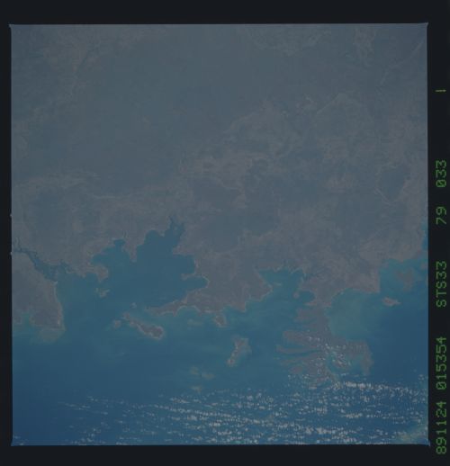
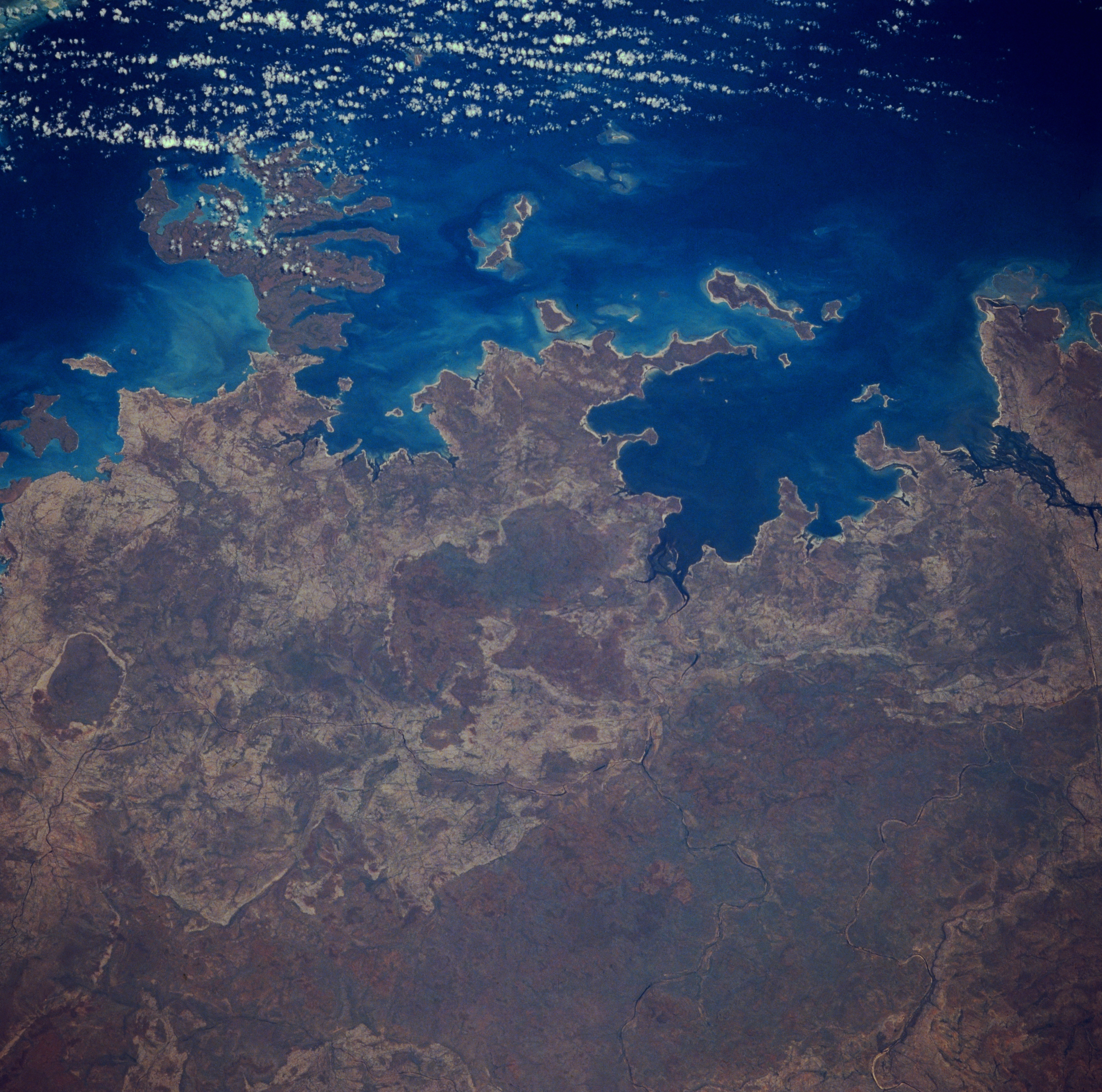
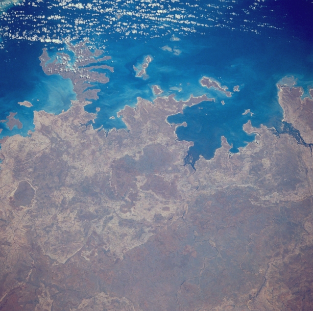
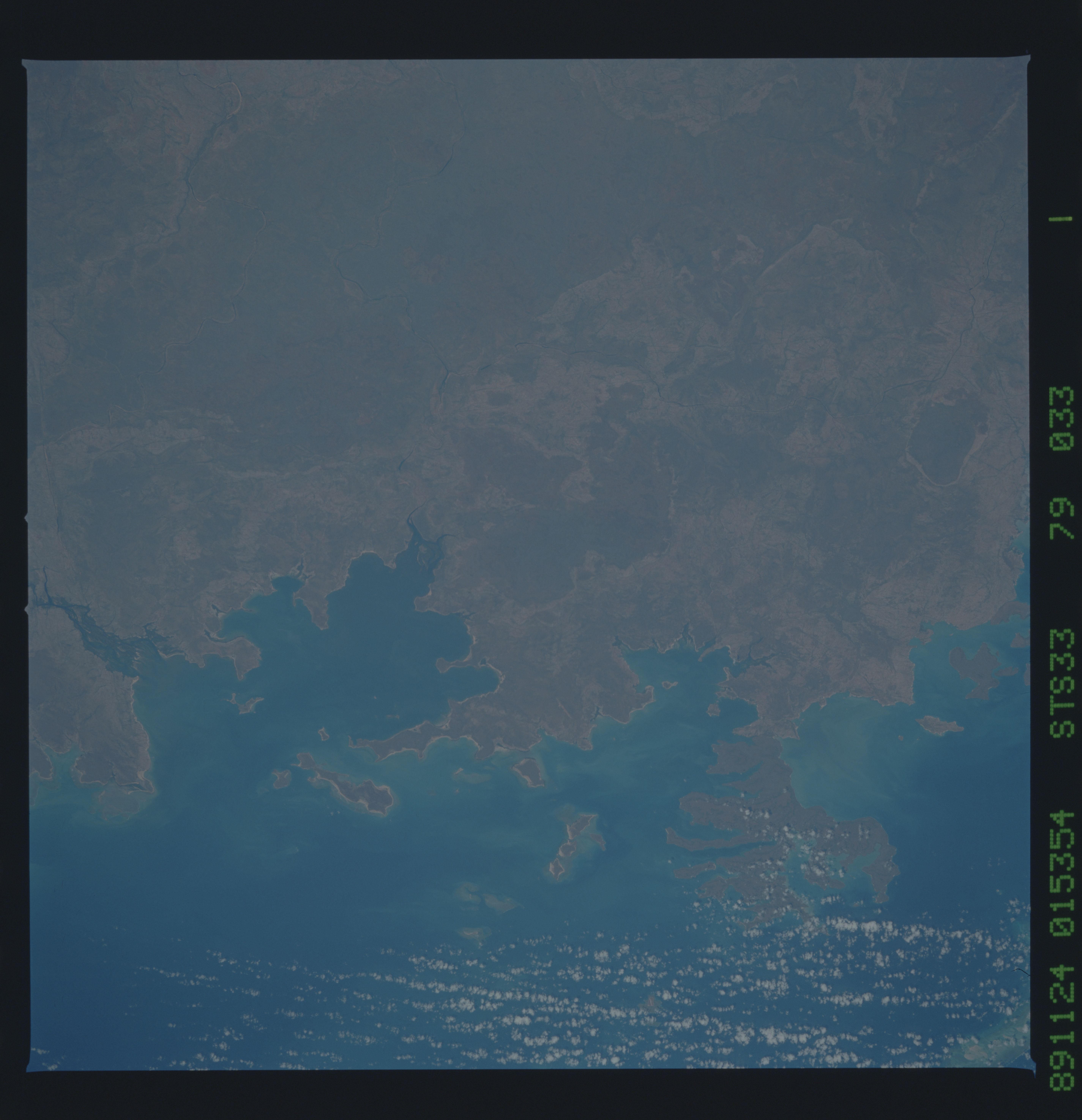
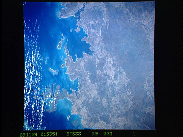
Image Caption: STS033-079-033 Napier Broome Bay, Western Australia, Australia November 1989
This part of the northern coast of Western Australia includes the northern extent of the Kimberley Plateau (darker, more uniform looking features). The plateau consists of a number of low mountains, mostly composed of sandstone rocks. Although the elevations above sea level are not high (some peaks reach 3000 feet --900 meters) the general terrain is dramatically rugged and dissected by deep gorges. The peninsulas that jut northward into the Indian Ocean form three distinct bays: west to east they are Admiralty Gulf; Vansittart Bay; and Napier Broome Bay.
This part of the northern coast of Western Australia includes the northern extent of the Kimberley Plateau (darker, more uniform looking features). The plateau consists of a number of low mountains, mostly composed of sandstone rocks. Although the elevations above sea level are not high (some peaks reach 3000 feet --900 meters) the general terrain is dramatically rugged and dissected by deep gorges. The peninsulas that jut northward into the Indian Ocean form three distinct bays: west to east they are Admiralty Gulf; Vansittart Bay; and Napier Broome Bay.
