STS033-79-31
| NASA Photo ID | STS033-79-31 |
| Focal Length | 250mm |
| Date taken | 1989.11.24 |
| Time taken | 01:53:20 GMT |
Resolutions offered for this image:
3872 x 3865 pixels 639 x 638 pixels 5700 x 5900 pixels 500 x 518 pixels 640 x 480 pixels
3872 x 3865 pixels 639 x 638 pixels 5700 x 5900 pixels 500 x 518 pixels 640 x 480 pixels

Cloud masks available for this image:
Spacecraft nadir point: 17.6° S, 125.1° E
Photo center point: 15.5° S, 125.0° E
Photo center point by machine learning:
Photo center point: 15.5° S, 125.0° E
Photo center point by machine learning:
Nadir to Photo Center: North
Spacecraft Altitude: 220 nautical miles (407km)
Country or Geographic Name: | AUSTRALIA-WA |
Features: | SAINT GEORGE BASIN |
| Features Found Using Machine Learning: | |
Cloud Cover Percentage: | 5 (1-10)% |
Sun Elevation Angle: | 68° |
Sun Azimuth: | 101° |
Camera: | Hasselblad |
Focal Length: | 250mm |
Camera Tilt: | 30 degrees |
Format: | 5017: Kodak, natural color positive, Ektachrome, X Professional, ASA 64, standard base |
Film Exposure: | Normal |
| Additional Information | |
| Width | Height | Annotated | Cropped | Purpose | Links |
|---|---|---|---|---|---|
| 3872 pixels | 3865 pixels | No | No | Earth From Space collection | Download Image |
| 639 pixels | 638 pixels | No | No | Earth From Space collection | Download Image |
| 5700 pixels | 5900 pixels | No | No | Download Image | |
| 500 pixels | 518 pixels | No | No | Download Image | |
| 640 pixels | 480 pixels | No | No | Download Image |
Download Packaged File
Download a Google Earth KML for this Image
View photo footprint information
Download a GeoTIFF for this photo
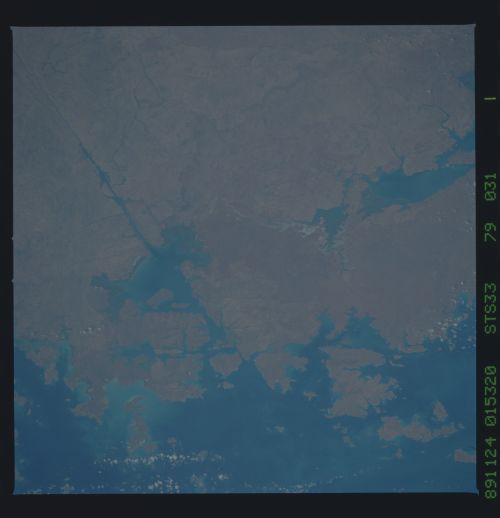
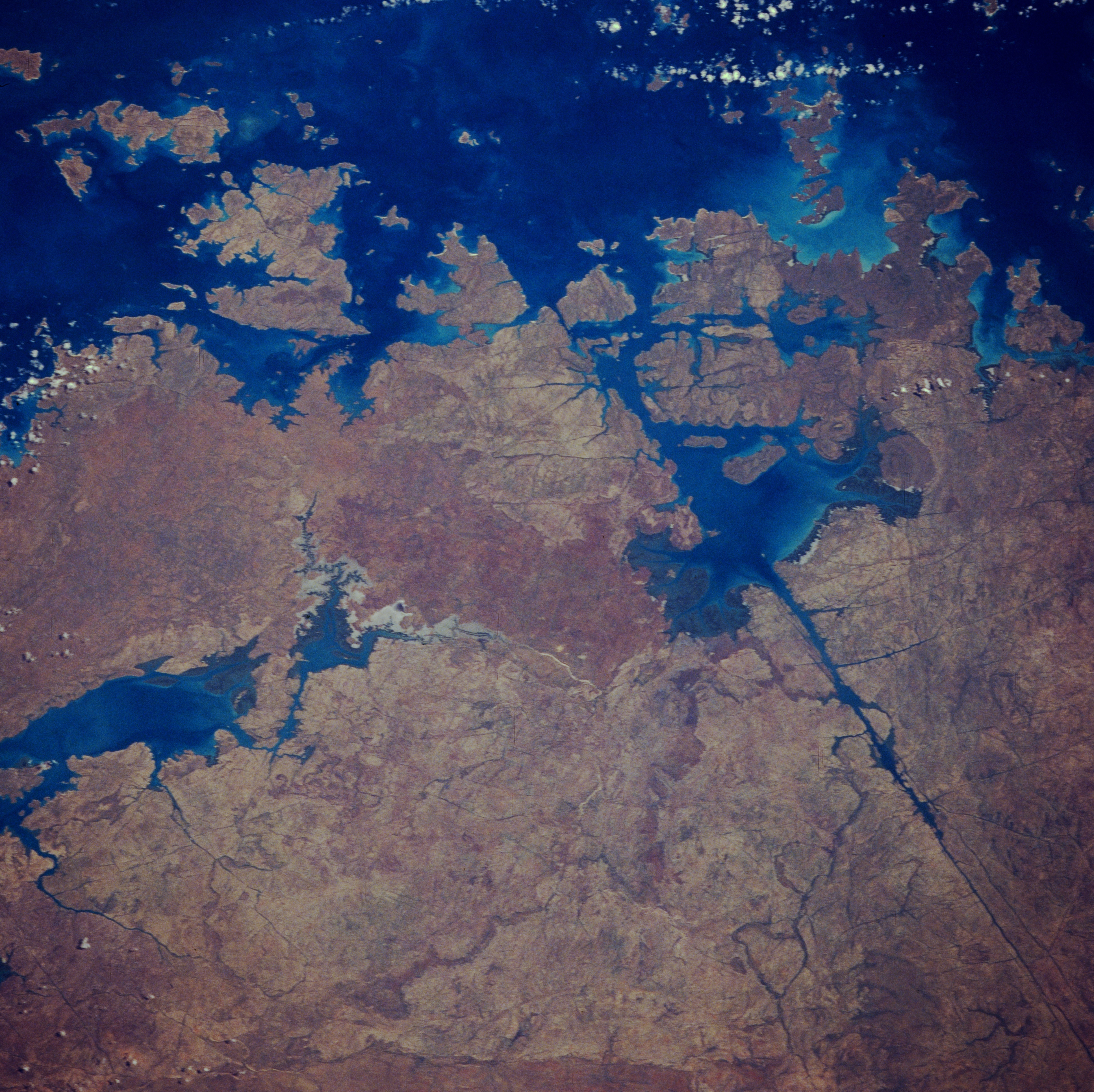
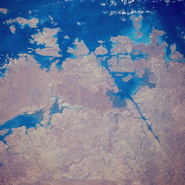
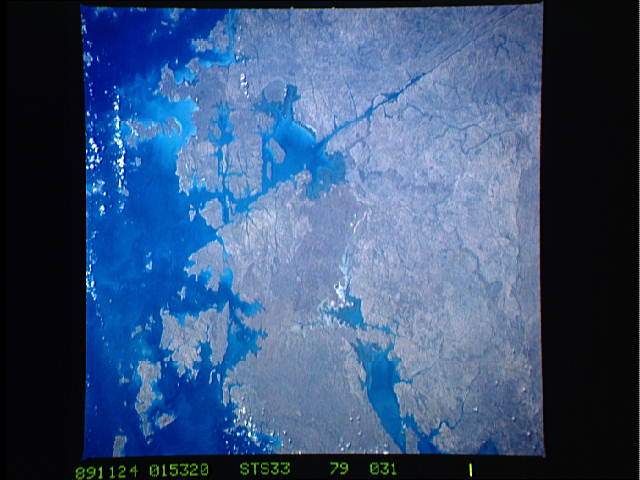
Image Caption: STS033-079-031 Saint George Basin, Western Australia, Australia November 1989
Several of the islands that make up the Bonaparte Archipelago are visible in this view of the rugged north coast of Western Australia. Prince Regent River, the exceptionally straight dark feature (lower right quadrant) that is oriented southeast-northwest, flows into St. George Basin, the body of water which lies upper right of center almost surrounded by land. The river's linearity indicates that it is located along a major fault that extends into the Indian Ocean at Brunswick Bay (top) The body of water along the lower left side of the picture is an inlet of Doubtful Bay.
Several of the islands that make up the Bonaparte Archipelago are visible in this view of the rugged north coast of Western Australia. Prince Regent River, the exceptionally straight dark feature (lower right quadrant) that is oriented southeast-northwest, flows into St. George Basin, the body of water which lies upper right of center almost surrounded by land. The river's linearity indicates that it is located along a major fault that extends into the Indian Ocean at Brunswick Bay (top) The body of water along the lower left side of the picture is an inlet of Doubtful Bay.
