STS033-75-92
| NASA Photo ID | STS033-75-92 |
| Focal Length | 250mm |
| Date taken | 1989.11.25 |
| Time taken | 05:35:29 GMT |
Resolutions offered for this image:
5700 x 5900 pixels 500 x 518 pixels 640 x 480 pixels 1836 x 1937 pixels 2616 x 2598 pixels 909 x 1181 pixels 4096 x 4096 pixels 540 x 702 pixels
5700 x 5900 pixels 500 x 518 pixels 640 x 480 pixels 1836 x 1937 pixels 2616 x 2598 pixels 909 x 1181 pixels 4096 x 4096 pixels 540 x 702 pixels


Cloud masks available for this image:
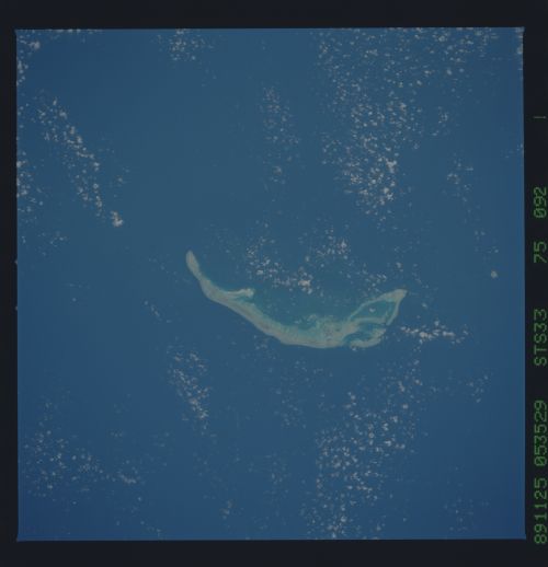
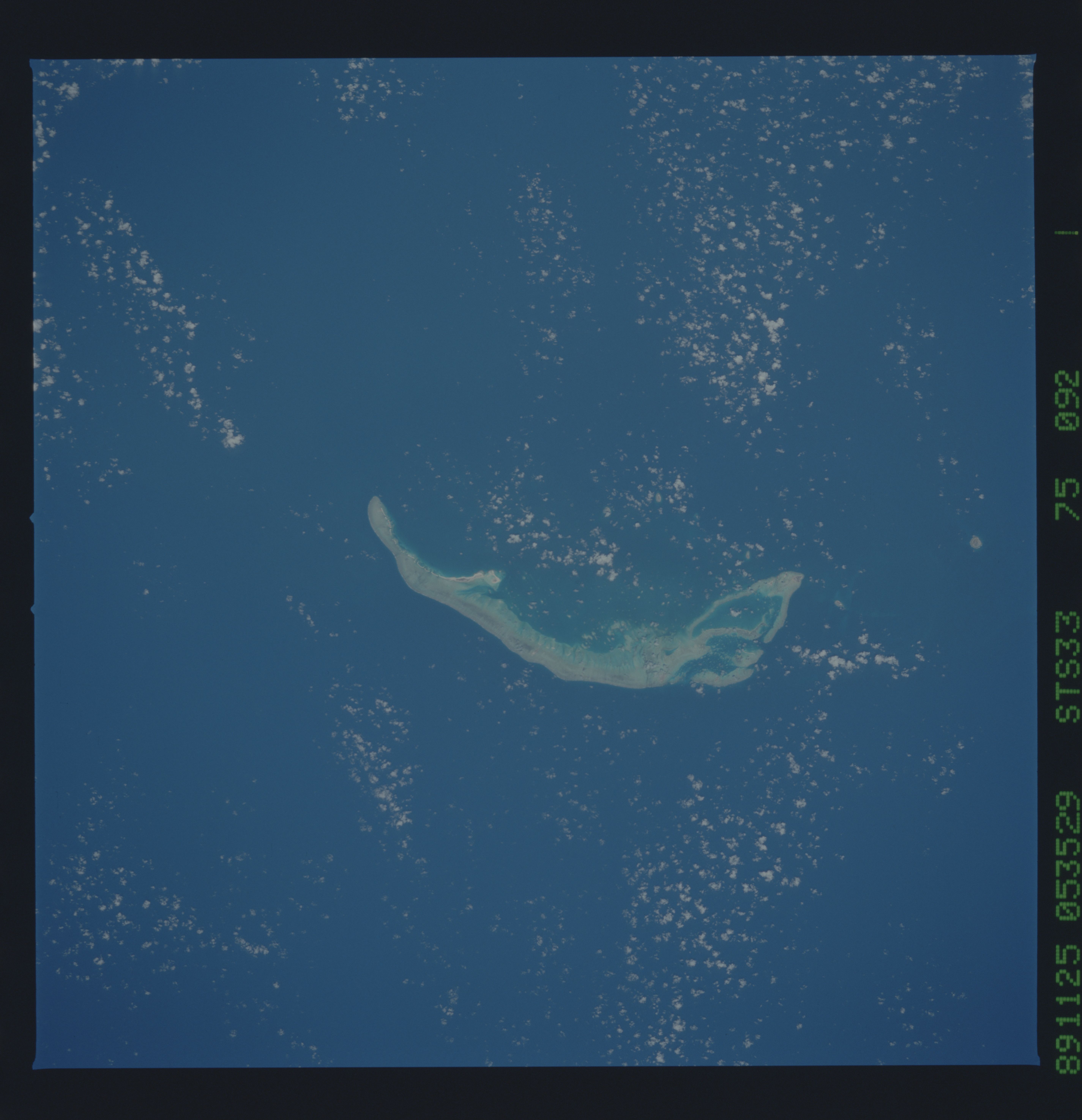
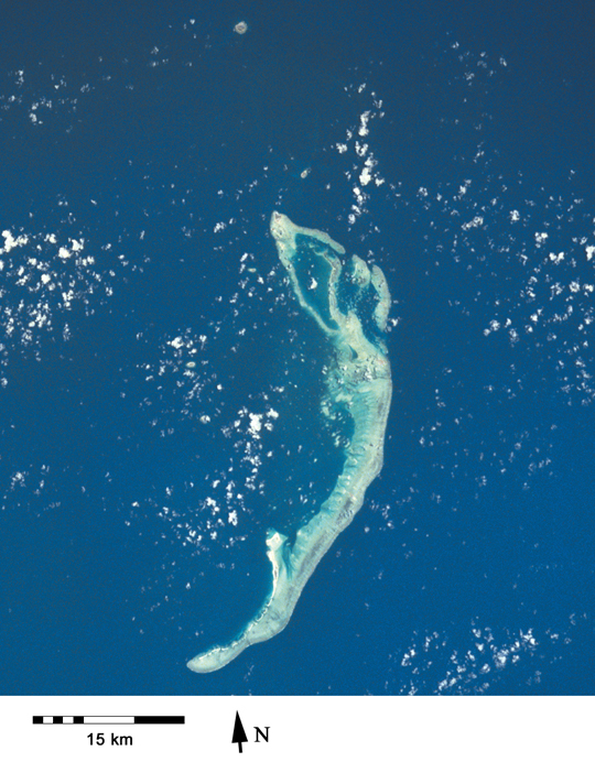
Spacecraft nadir point: 17.1° S, 61.4° E
Photo center point: 16.5° S, 59.5° E
Photo center point by machine learning:
Photo center point: 16.5° S, 59.5° E
Photo center point by machine learning:
Nadir to Photo Center: West
Spacecraft Altitude: 239 nautical miles (443km)
Country or Geographic Name: | MAURITIUS |
Features: | CARGADOS CARAJOS SHOALS |
| Features Found Using Machine Learning: | |
Cloud Cover Percentage: | 10 (1-10)% |
Sun Elevation Angle: | 60° |
Sun Azimuth: | 102° |
Camera: | Hasselblad |
Focal Length: | 250mm |
Camera Tilt: | 27 degrees |
Format: | 5017: Kodak, natural color positive, Ektachrome, X Professional, ASA 64, standard base |
Film Exposure: | Normal |
| Additional Information | |
| Width | Height | Annotated | Cropped | Purpose | Links |
|---|---|---|---|---|---|
| 5700 pixels | 5900 pixels | No | No | Download Image | |
| 500 pixels | 518 pixels | No | No | Download Image | |
| 640 pixels | 480 pixels | No | No | Download Image | |
| 1836 pixels | 1937 pixels | No | Yes | ReefBase 1 | Download Image |
| 2616 pixels | 2598 pixels | No | No | ReefBase 1 | Download Image |
| 909 pixels | 1181 pixels | Yes | Yes | Publisher Request | Download Image |
| 4096 pixels | 4096 pixels | No | No | Download Image | |
| 540 pixels | 702 pixels | Yes | Yes | Publisher Request | Download Image |
Download Packaged File
Download a Google Earth KML for this Image
View photo footprint information
Download a GeoTIFF for this photo
Image Caption: In addition to the main islands of Mauritius and Rodrigues, Mauritius also administers a large area of remote reefs, notably the Carajos Bank [STS033-75-92, 1989].
