STS033-75-20

| NASA Photo ID | STS033-75-20 |
| Focal Length | 250mm |
| Date taken | 1989.11.25 |
| Time taken | 01:20:09 GMT |
Cloud masks available for this image:
Spacecraft nadir point: 20.9° N, 154.4° W
Photo center point: 19.5° N, 155.5° W
Photo center point by machine learning:
Photo center point: 19.5° N, 155.5° W
Photo center point by machine learning:
Nadir to Photo Center: Southwest
Spacecraft Altitude: 130 nautical miles (241km)
Camera: | Hasselblad |
Focal Length: | 250mm |
Camera Tilt: | 39 degrees |
Format: | 5017: Kodak, natural color positive, Ektachrome, X Professional, ASA 64, standard base |
Film Exposure: | Normal |
| Additional Information | |
| Width | Height | Annotated | Cropped | Purpose | Links |
|---|---|---|---|---|---|
| 5700 pixels | 5900 pixels | No | No | Download Image | |
| 500 pixels | 518 pixels | No | No | Download Image | |
| 640 pixels | 480 pixels | No | No | Download Image |
Download Packaged File
Download a Google Earth KML for this Image
View photo footprint information
Download a GeoTIFF for this photo
Image Caption:
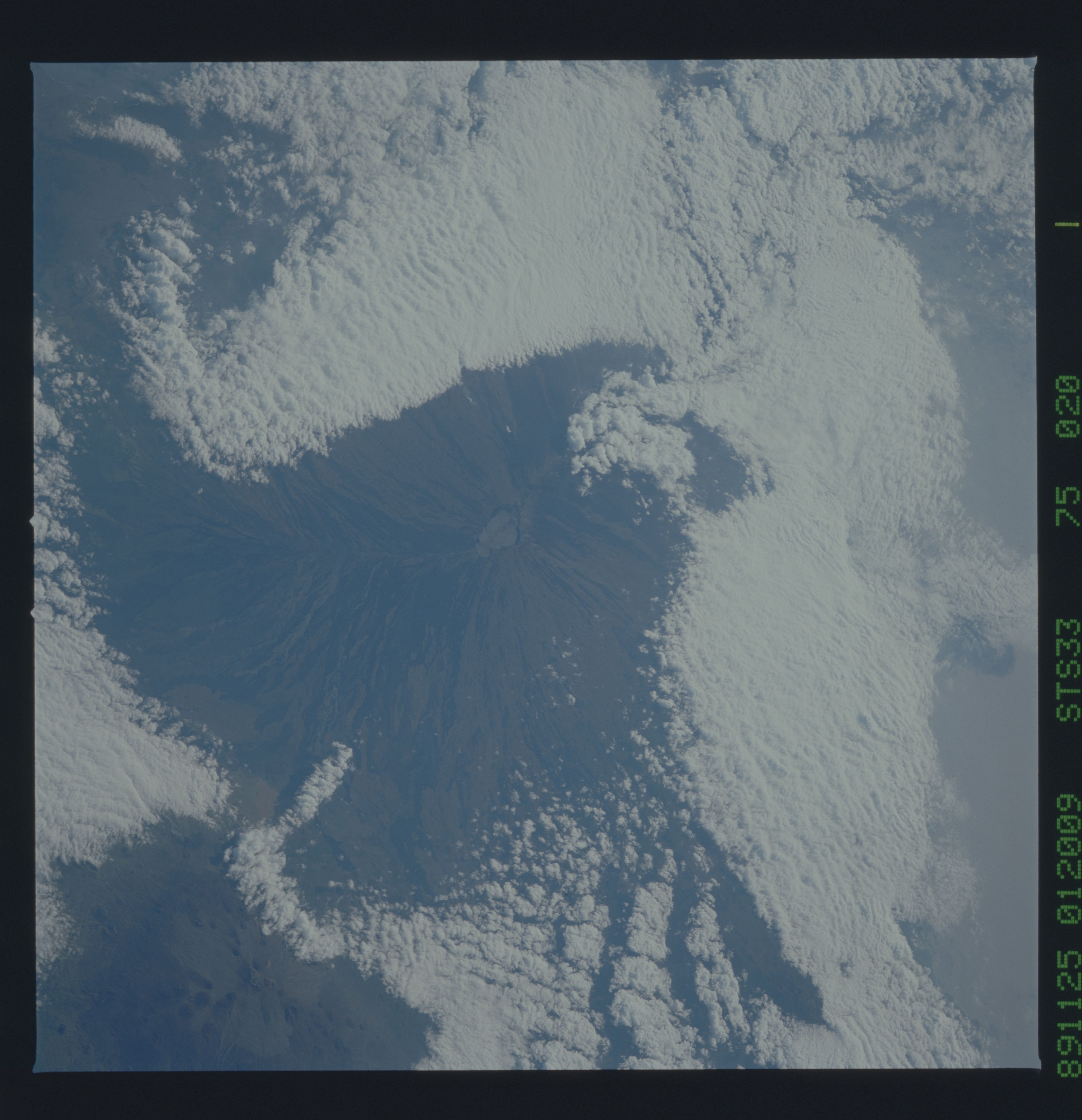
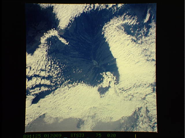
Mauna Loa, Hawaii Mauna Loa is still active, and the major type
of eruption is rift flows from the mountainUs flanks, as well
displayed in this photograph. The island was flanked by stratocu-
mulus clouds on three sides. Trade wind inversion is a barrier to
vertical cloud development over the open water, and there is a
general suppresiion of clouds on the lee side of the island.
Heating over land has begun, as shown by cloud ridges that run
from the lower right to the upper left, parallel to the trade
wind flow. Continued heating will result in a cap cloud of the
volcano summit. S33-75-020.
