STS033-72-11

| NASA Photo ID | STS033-72-11 |
| Focal Length | 250mm |
| Date taken | 1989.11.26 |
| Time taken | 09:27:56 GMT |
Cloud masks available for this image:
Spacecraft nadir point: 0.8° N, 29.8° E
Photo center point: 0.0° N, 30.0° E
Photo center point by machine learning:
Photo center point: 0.0° N, 30.0° E
Photo center point by machine learning:
Nadir to Photo Center: South
Spacecraft Altitude: 200 nautical miles (370km)
Country or Geographic Name: | UGANDA |
Features: | LAKE GEORGE |
| Features Found Using Machine Learning: | |
Cloud Cover Percentage: | 40 (26-50)% |
Sun Elevation Angle: | 68° |
Sun Azimuth: | 168° |
Camera: | Hasselblad |
Focal Length: | 250mm |
Camera Tilt: | 14 degrees |
Format: | 5017: Kodak, natural color positive, Ektachrome, X Professional, ASA 64, standard base |
Film Exposure: | Normal |
| Additional Information | |
| Width | Height | Annotated | Cropped | Purpose | Links |
|---|---|---|---|---|---|
| 5700 pixels | 5900 pixels | No | No | Download Image | |
| 500 pixels | 518 pixels | No | No | Download Image | |
| 640 pixels | 480 pixels | No | No | Download Image |
Download Packaged File
Download a Google Earth KML for this Image
View photo footprint information
Download a GeoTIFF for this photo
Image Caption:
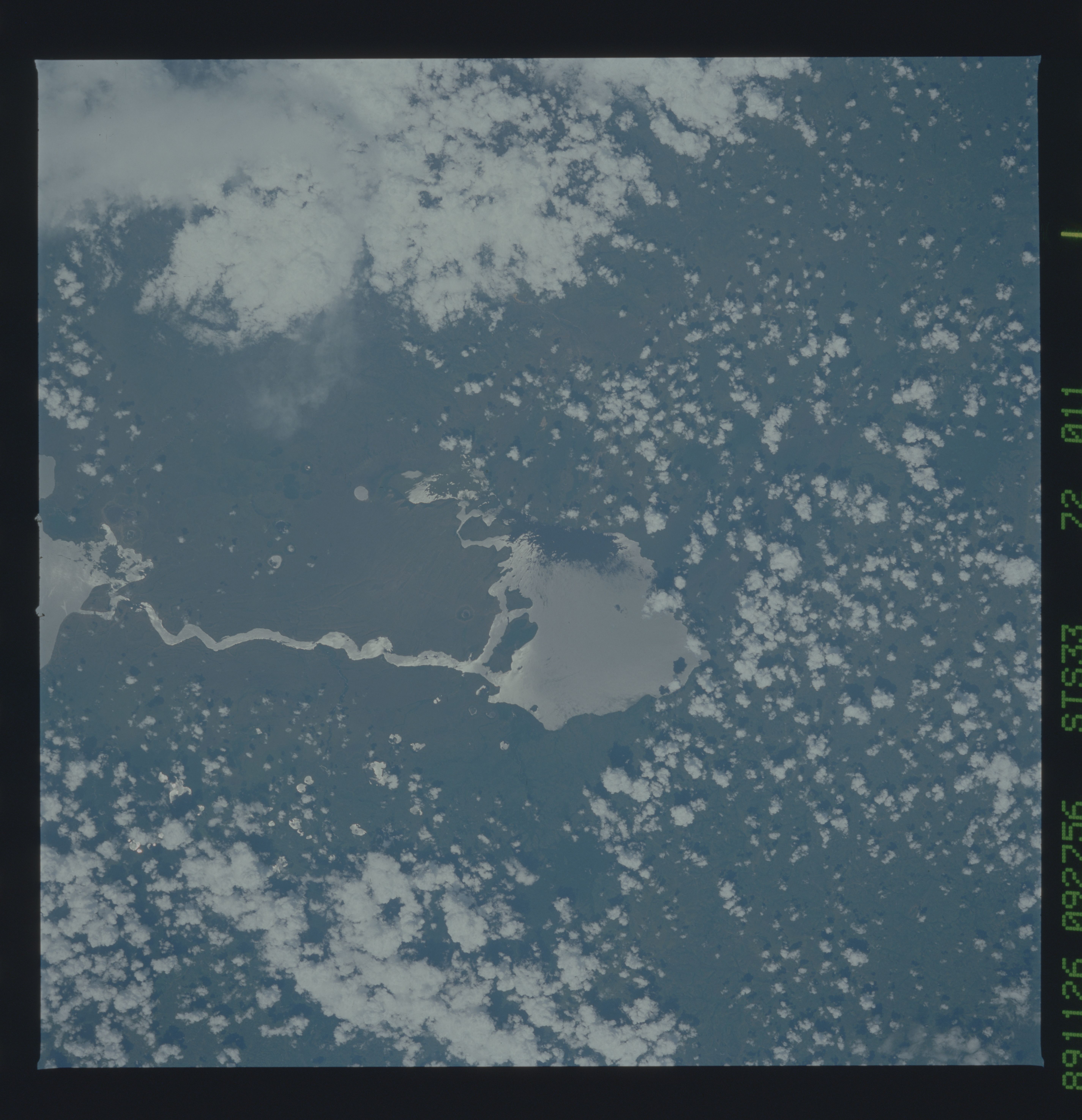
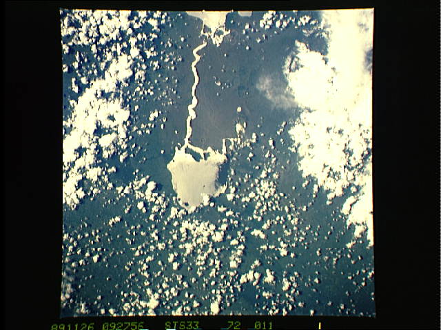
Lakes Edward and George
One of the features of the Western Rift Valley is a string of
lakes in the valleys created by down-dropped fault blocks. Two
of these lakes, Edward (1) and George (2) are highlighted by sun-
glint in this photograph. Lake Edward straddles the Zaire-Uganda
international border, which runs approximately parallel to the
fault scarp (3) hemming in the western edge of the lake. These
lakes also have lower water levels after the severe drought of
the mid-1980's. A series of volcanic craters scar the land
between the two lakes (4). (S33-72-10, 11)
